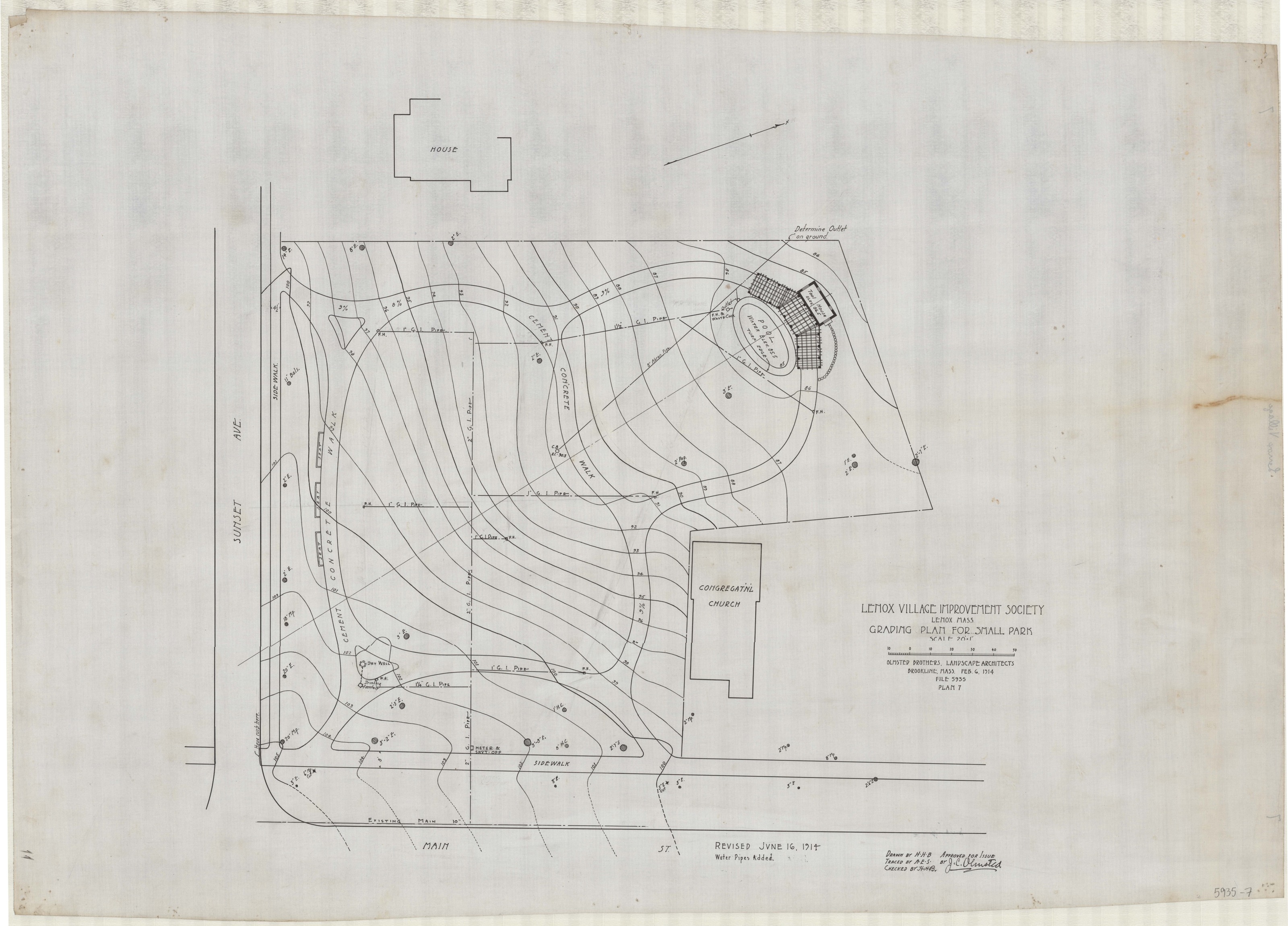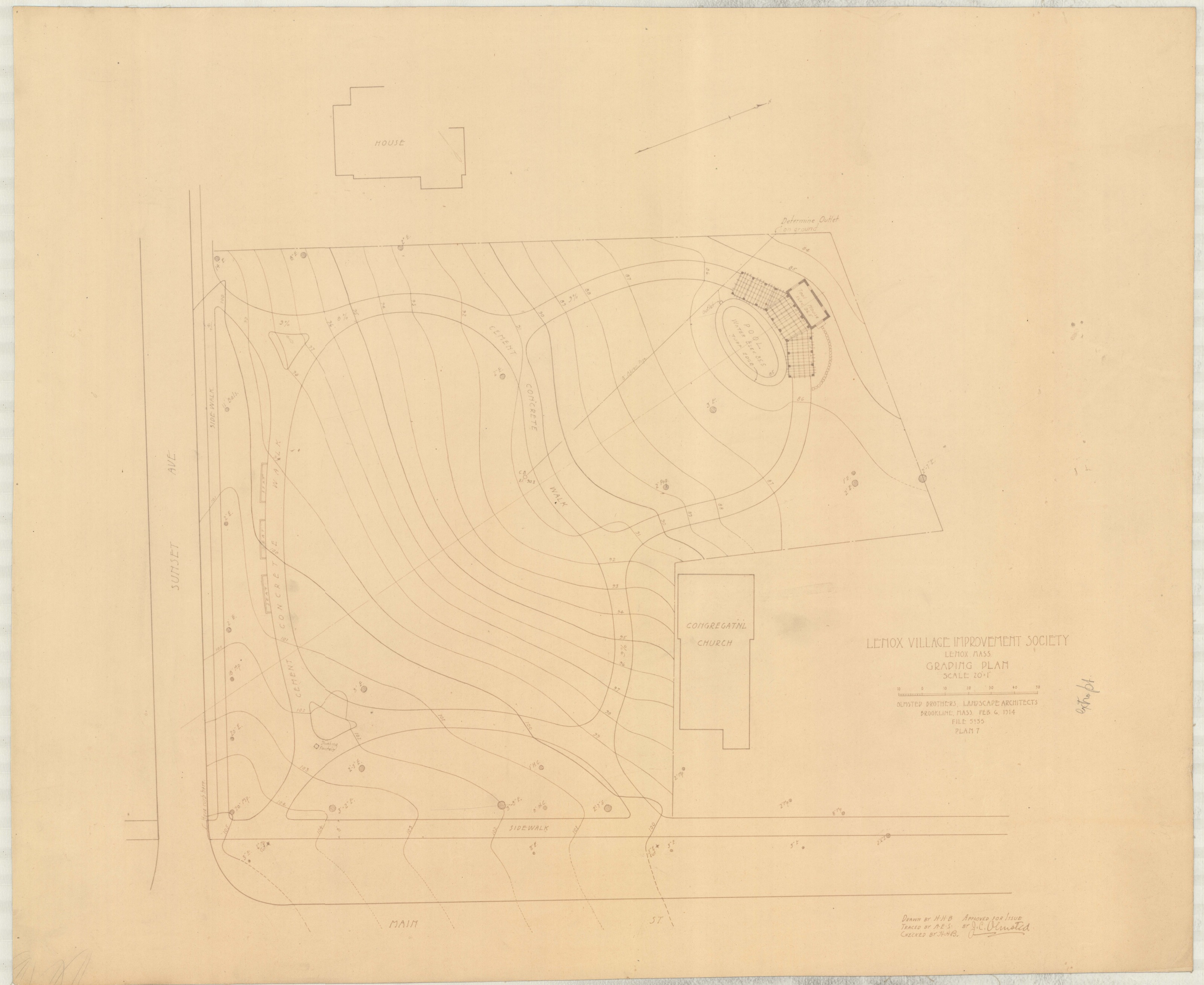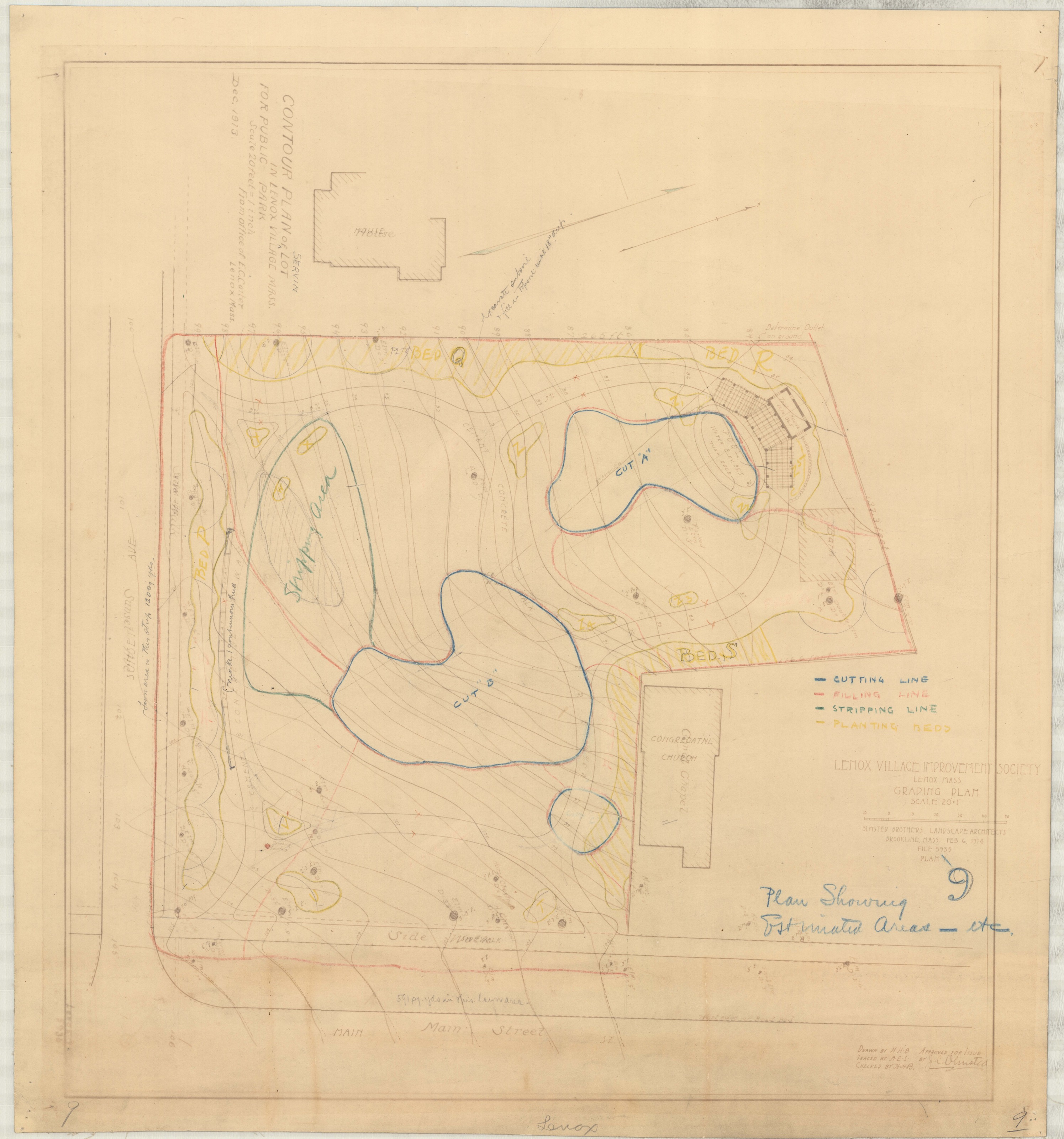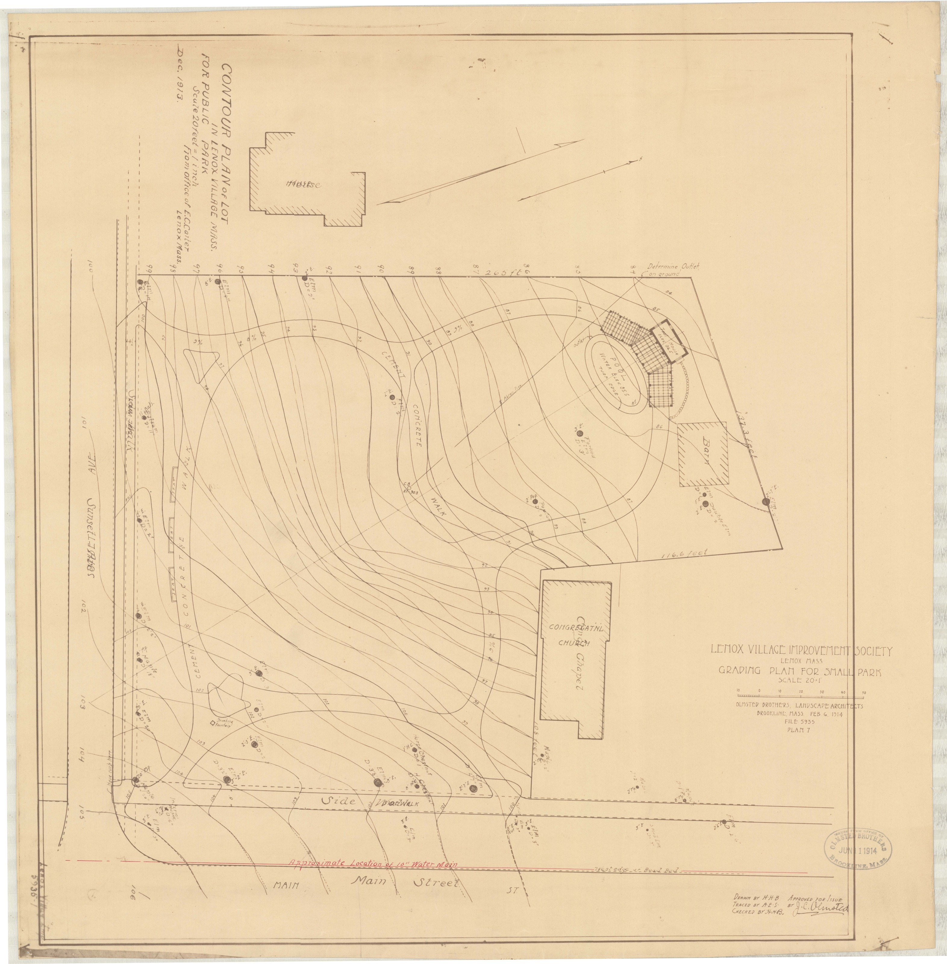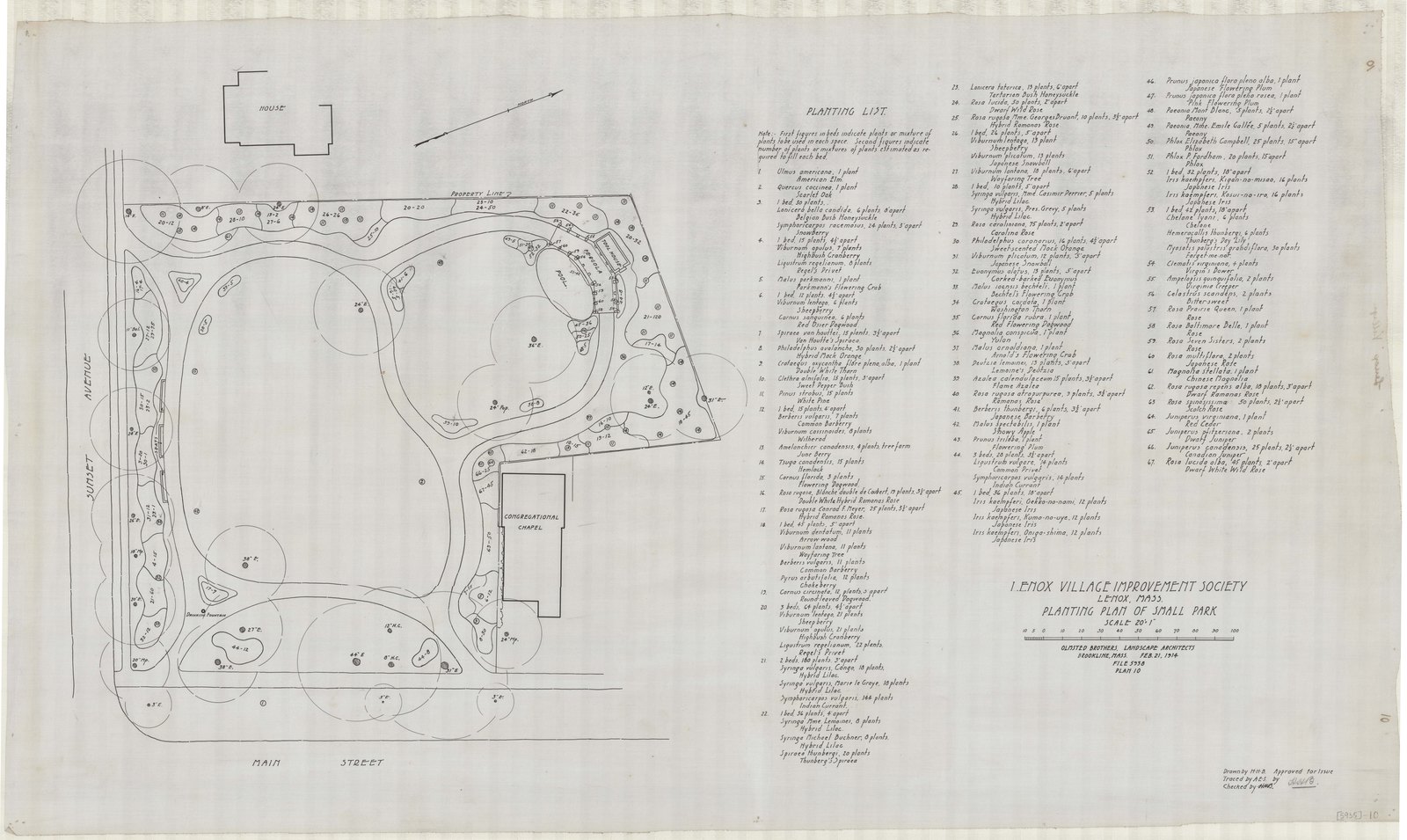
For thirty years the Olmsted office had been drawing the hills above these two towns — the drives, the lawns, the screens of shrubbery that kept one cottage from seeing the next. Then the towns themselves became clients. Lenox hired the firm for a small park on Main Street; Stockbridge hired it for the ground around the railroad station. The two jobs sit side by side in the archive, twenty-one sheets and fifteen, and between them they are the only Berkshire commissions on this site where the client is everybody.
I. Two jobs
Job 05935 is filed as Lenox Village Improvement Society, type “City & Regional Planning & Improvement Projects.” Twenty-one plans are inventoried and all twenty-one are scanned. The dated work runs from December 1913 to June 1914; two older surveys, of 1907 and 1909, were pulled into the file along the way.
Job 05929 is filed as Stockbridge Village Improvement, same type. Fourteen plans are inventoried, fifteen scans exist — one sheet was photographed front and back — and there is an office photograph album besides. The work runs from October 1913 to January 1917.
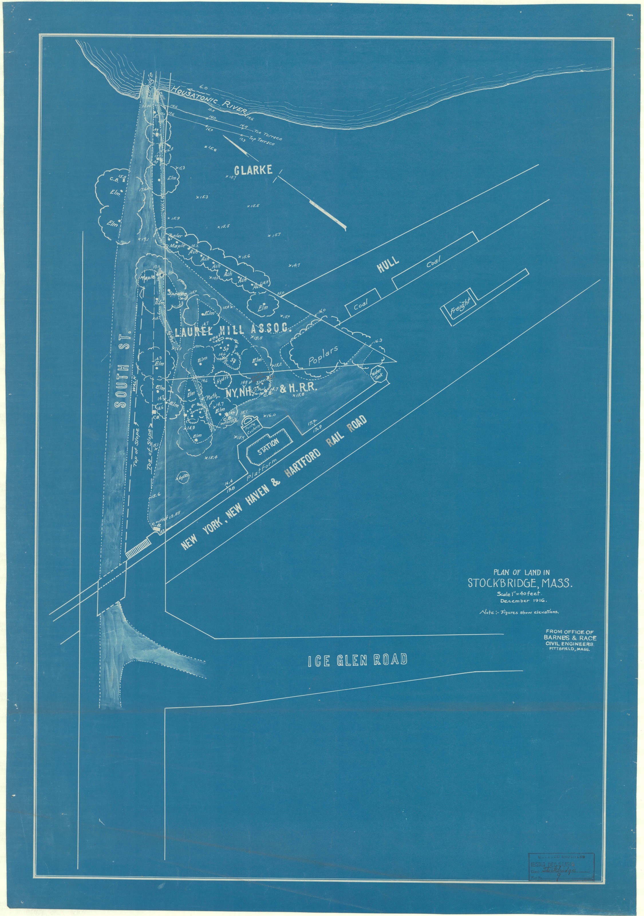
The client at Stockbridge is named on the drawings themselves: the Laurel Hill Association, which the archive spells LAURAL HILL throughout, on every sheet that carries the name.
II. Lenox: seven studies in January
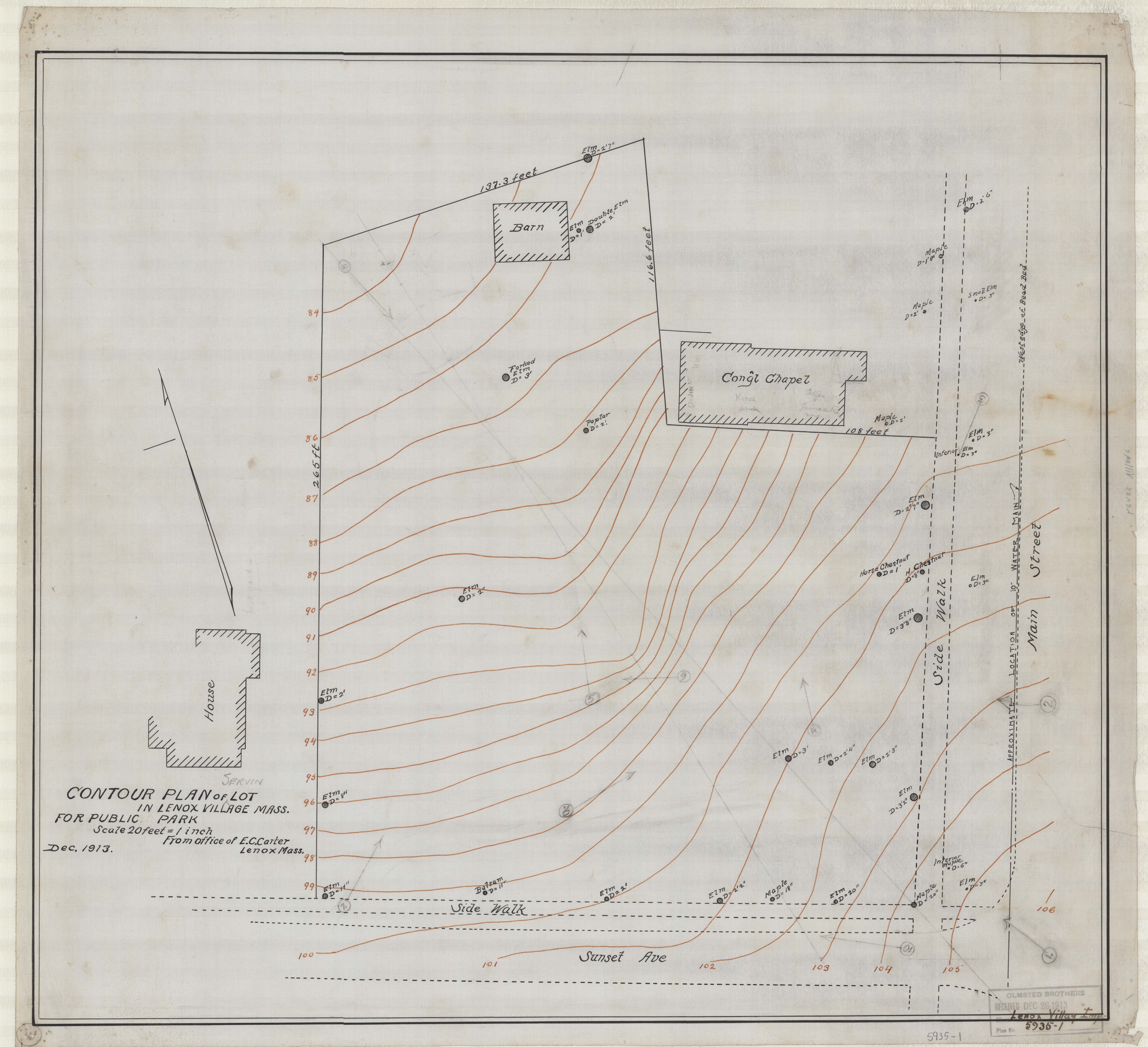
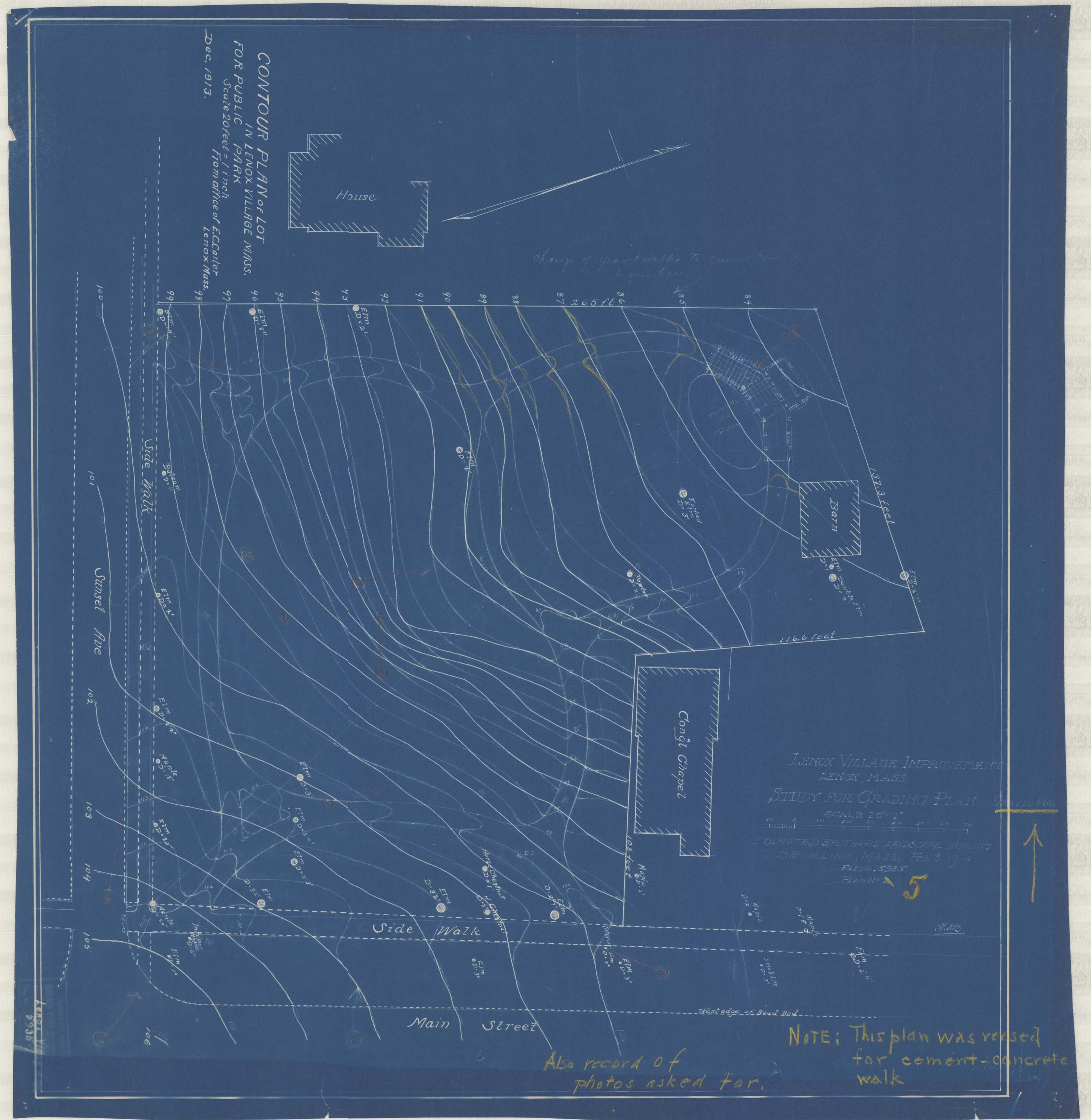
The Lenox job begins with somebody else’s drawing. Plan 1 is a contour plan of the lot, December 1913, made in the office of E.C. Carter of Lenox and received at Brookline on 26 December 1913 — and the inventory records who handed it over: “Rec’d from G.W. Folsom.” George W. Folsom was a Lenox summer resident; the Lenox Library holds four photographs of his place, Sunnyridge. The park is a town project, and the first sheet arrives by way of a cottager.
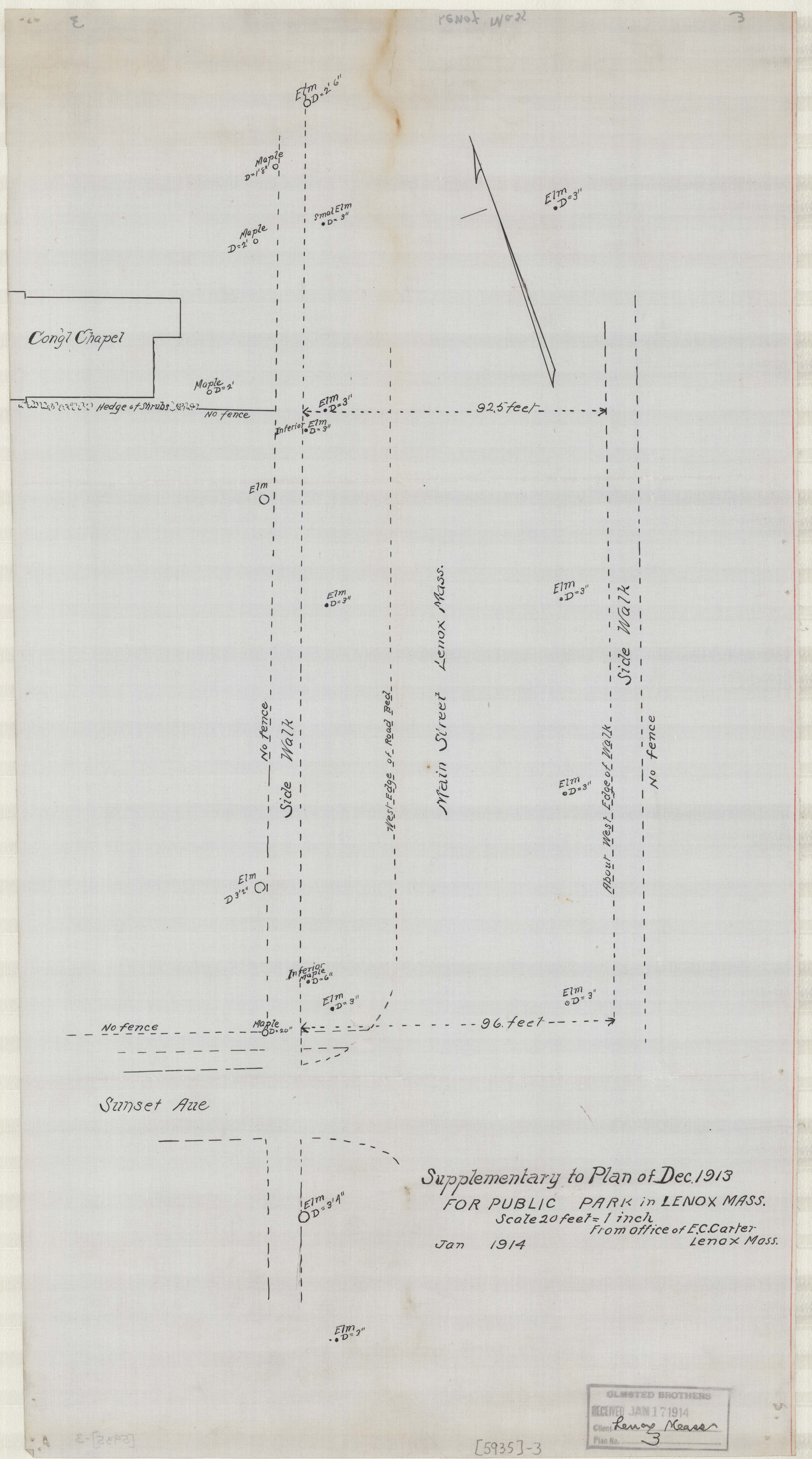
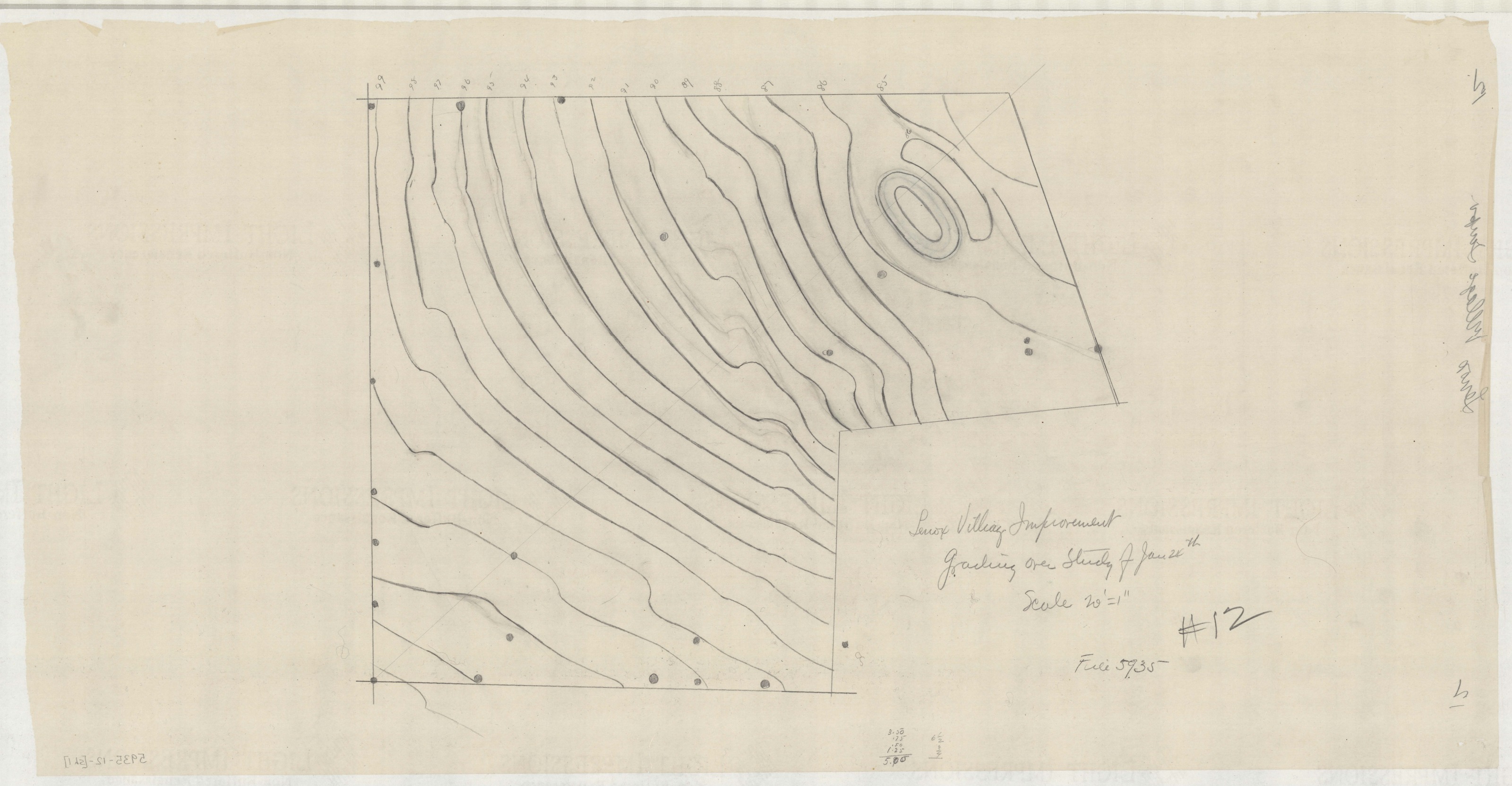
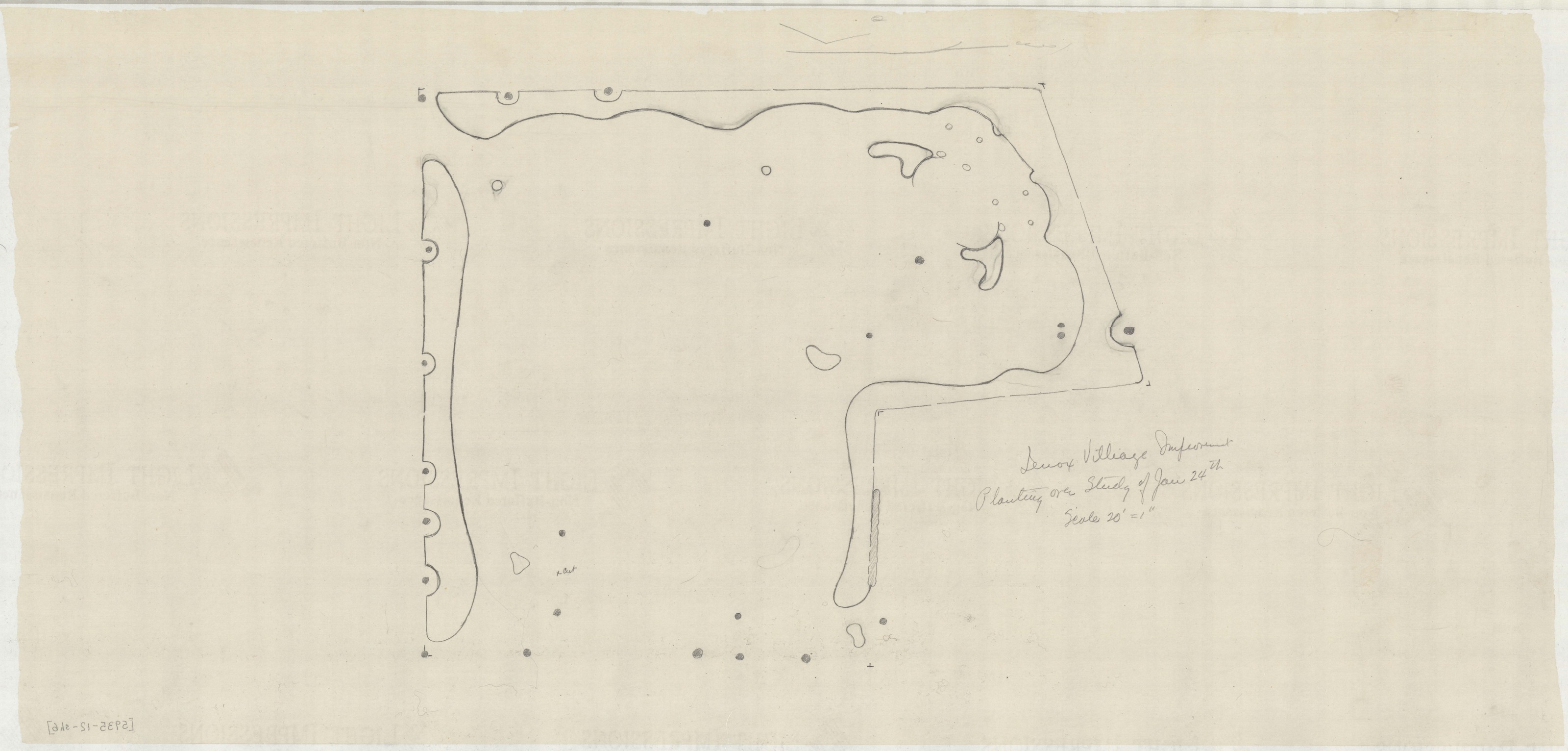
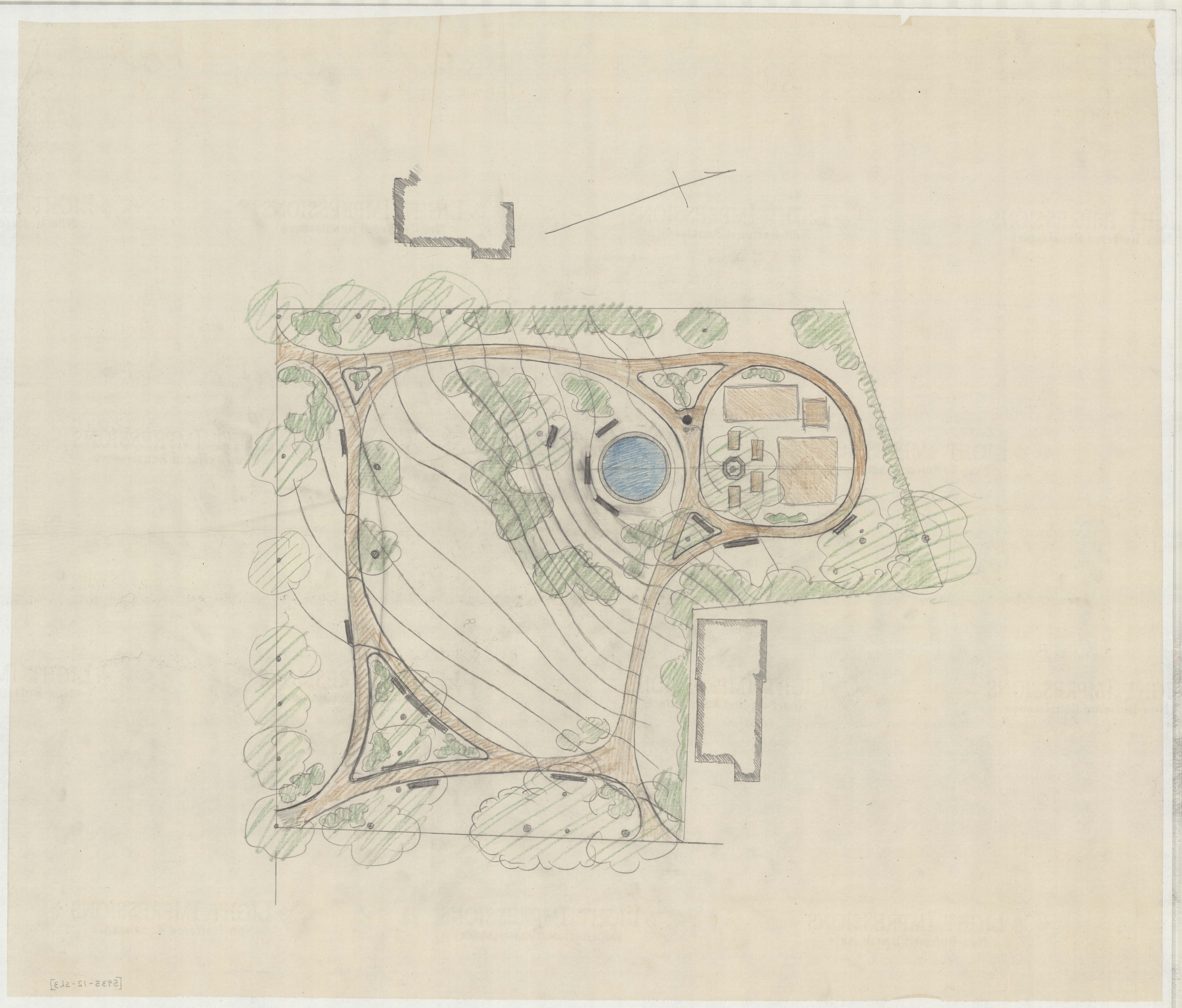
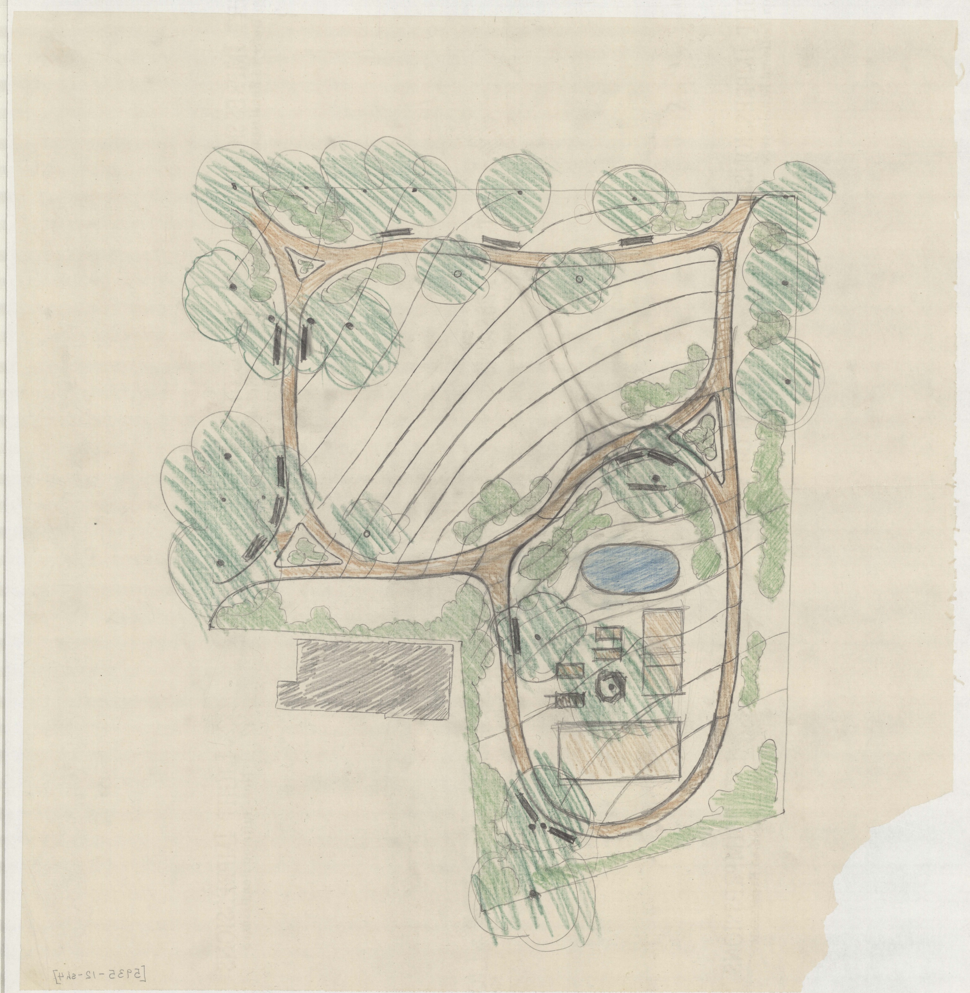
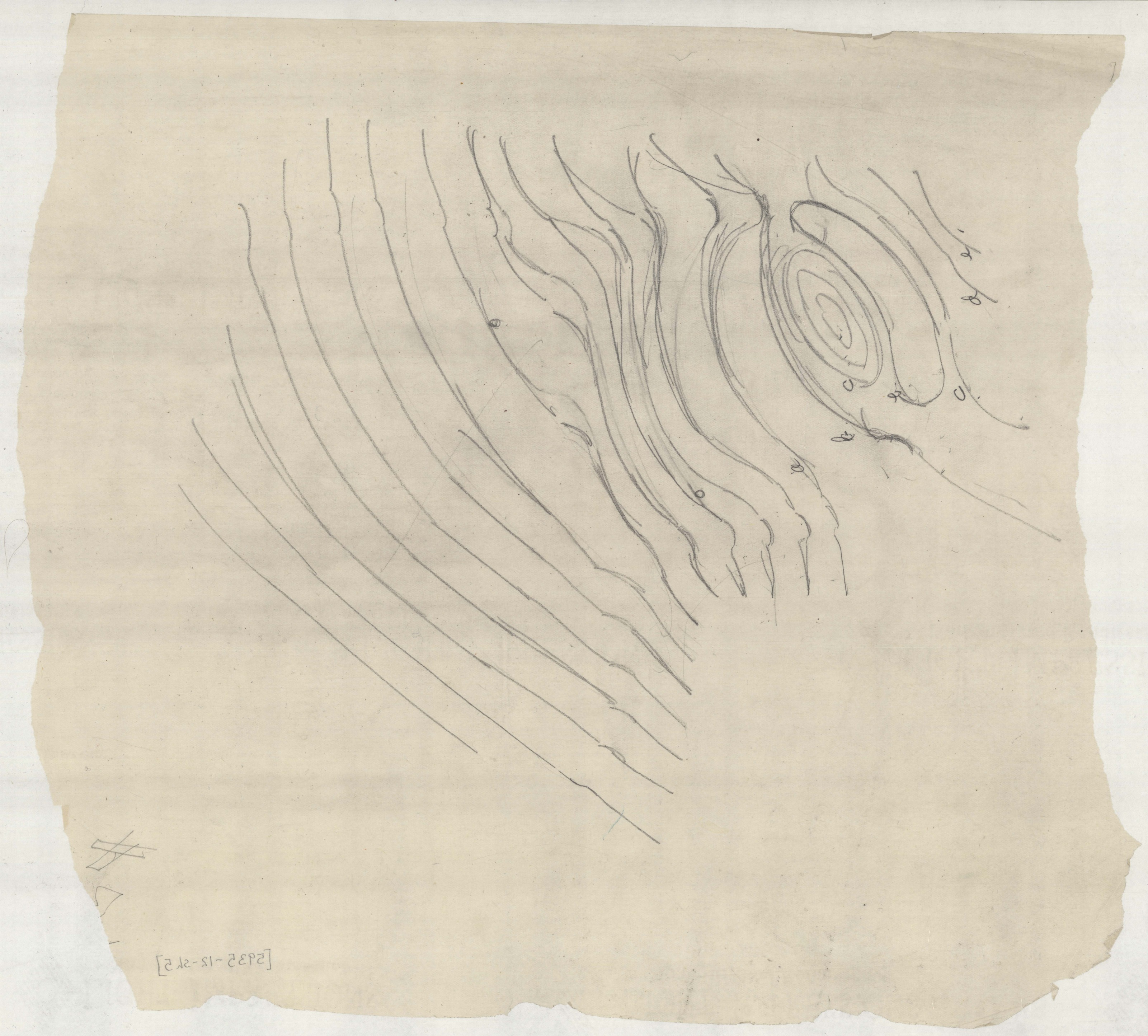
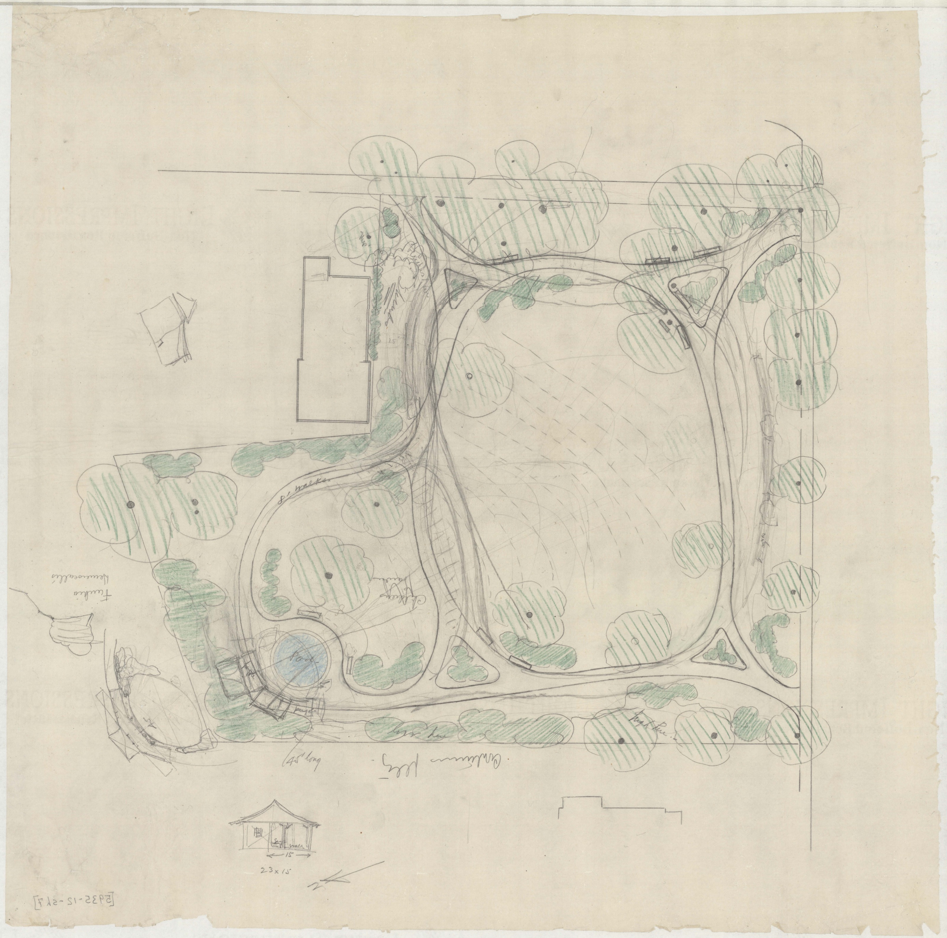
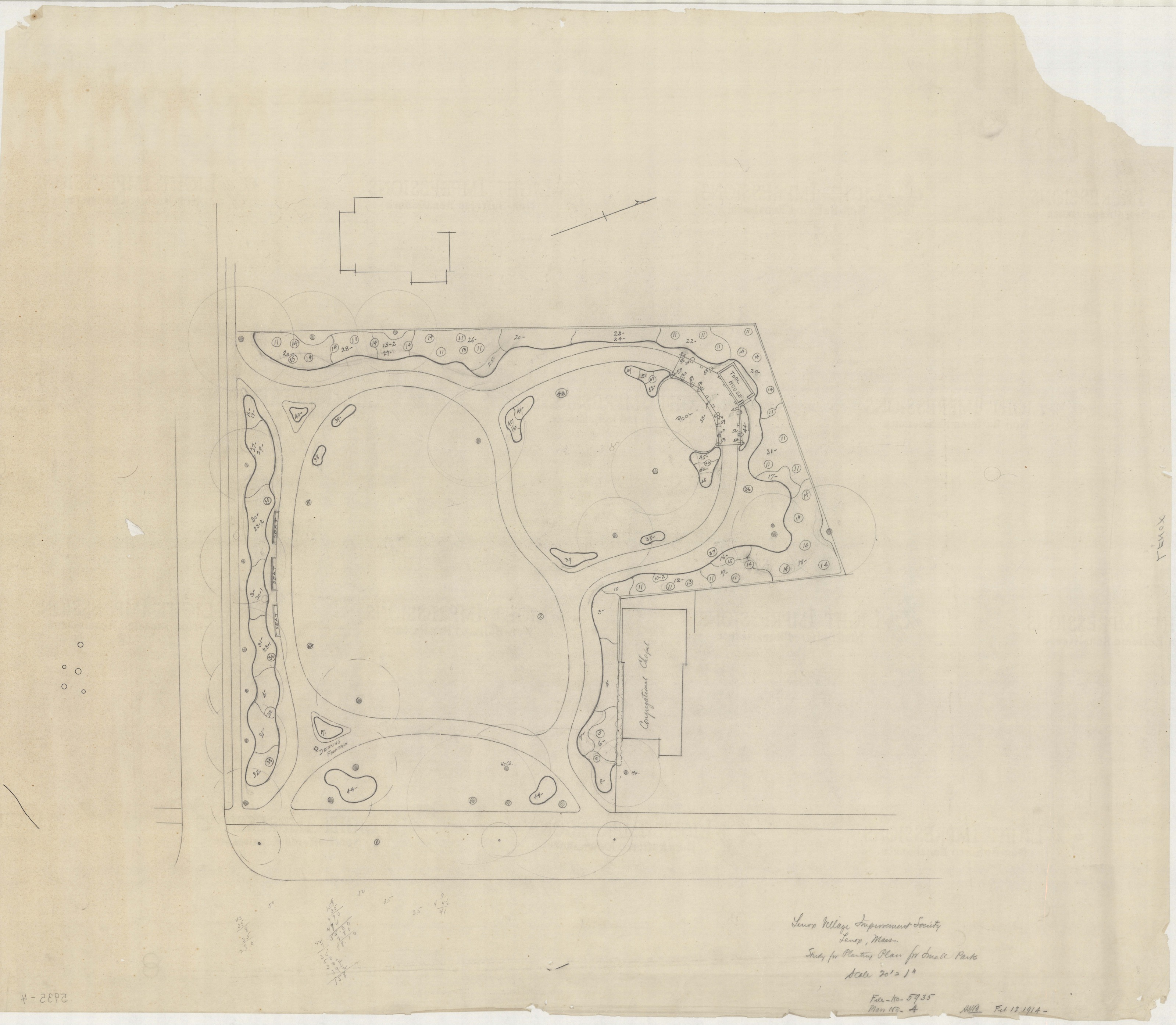
Then January 1914, and the office does what it does. Plan 12 survives in seven sheets, all inventoried “Studies for Small Park on Main St.”: a study dated 24 January, then “GRADING OVER STUDY OF JAN 24TH” and “PLANTING OVER STUDY OF JAN 24TH”, and four more sheets of studies at the same scale. One idea, laid over and over with a different question each time — where the ground goes, where the plants go.
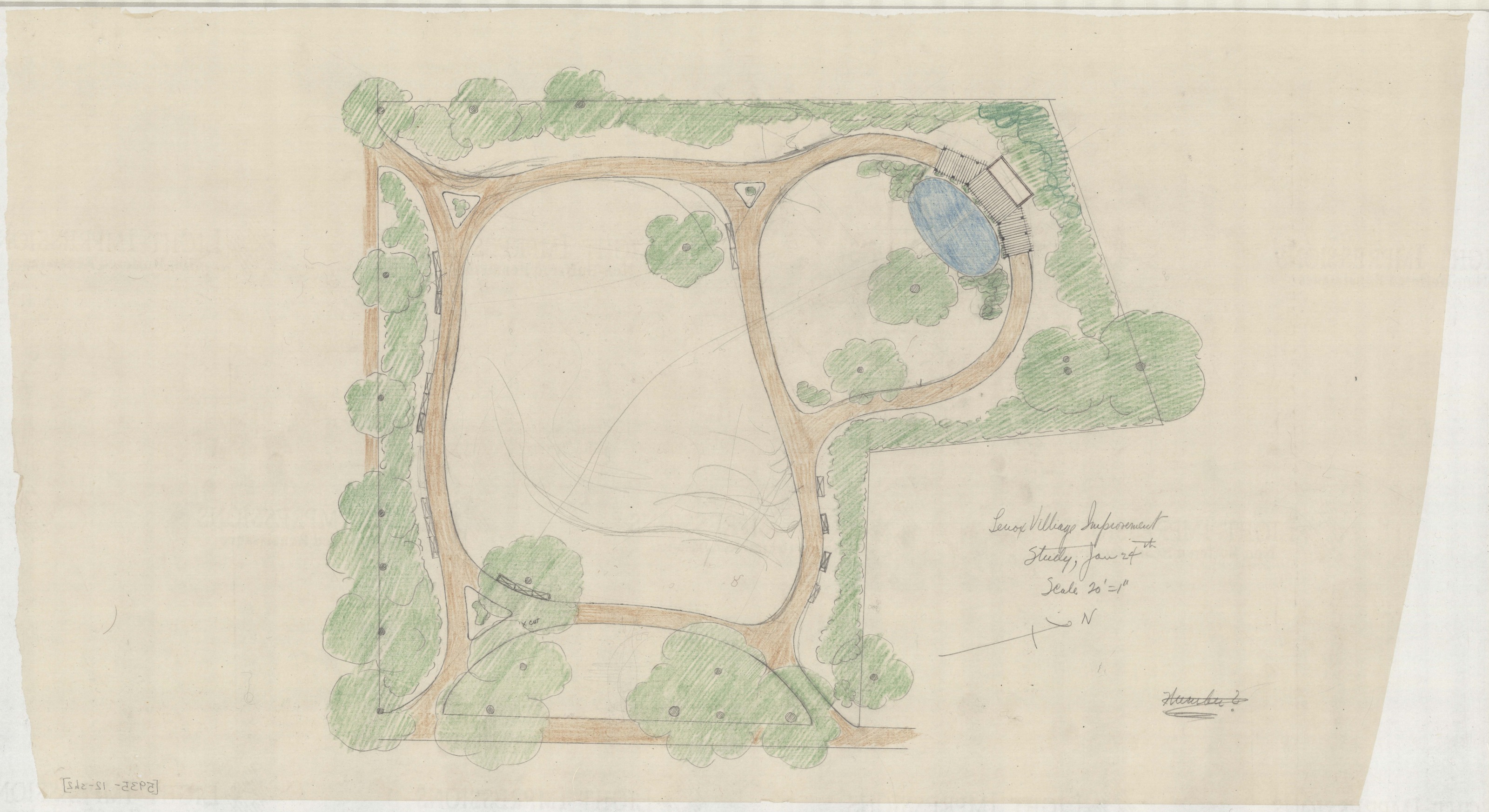
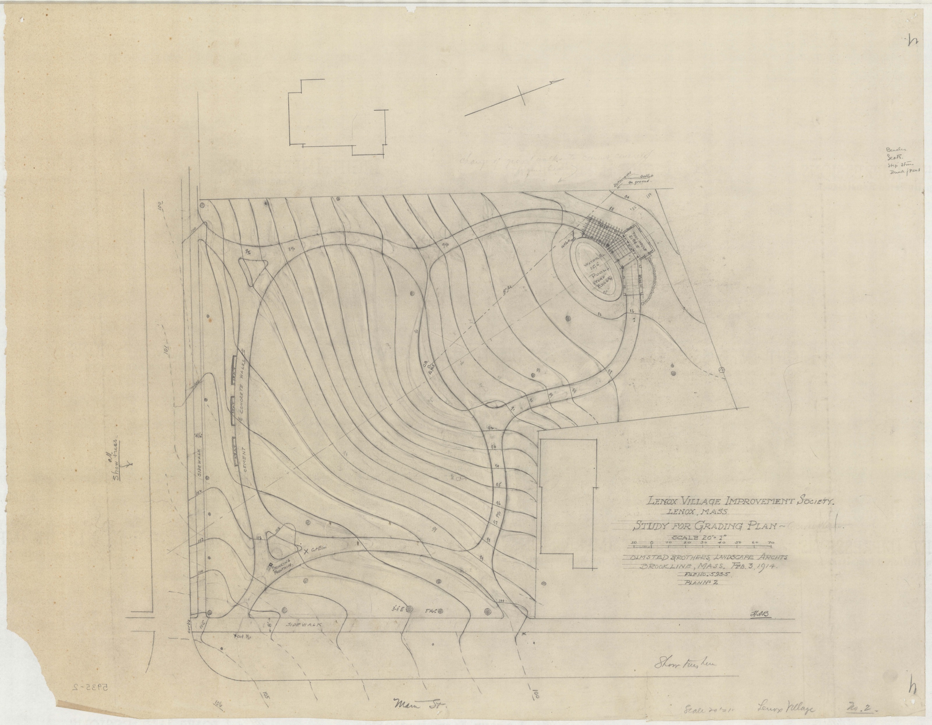
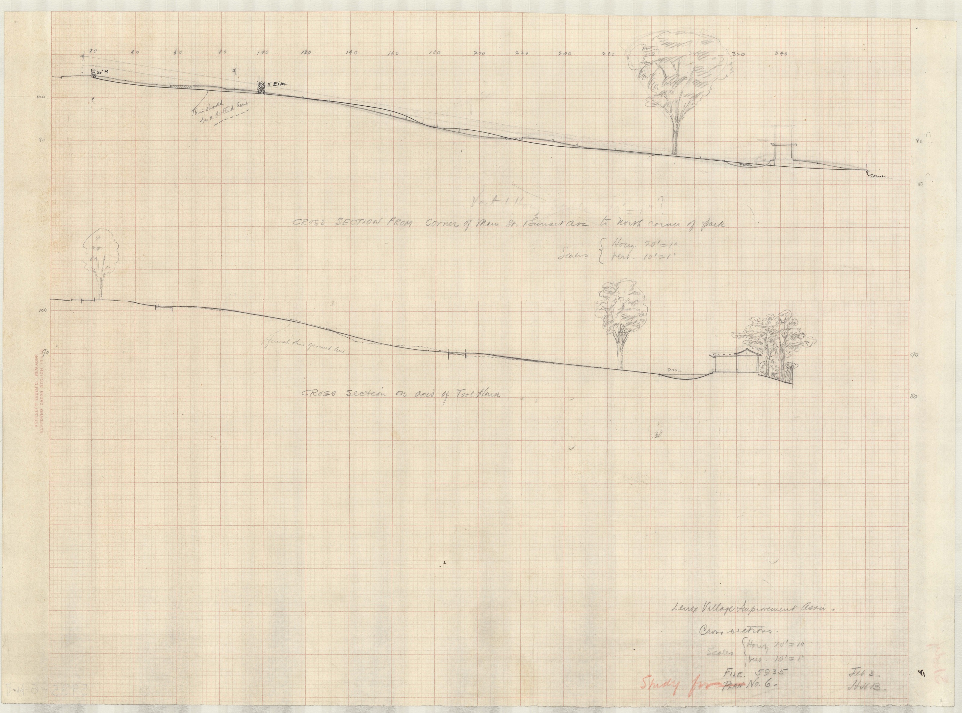
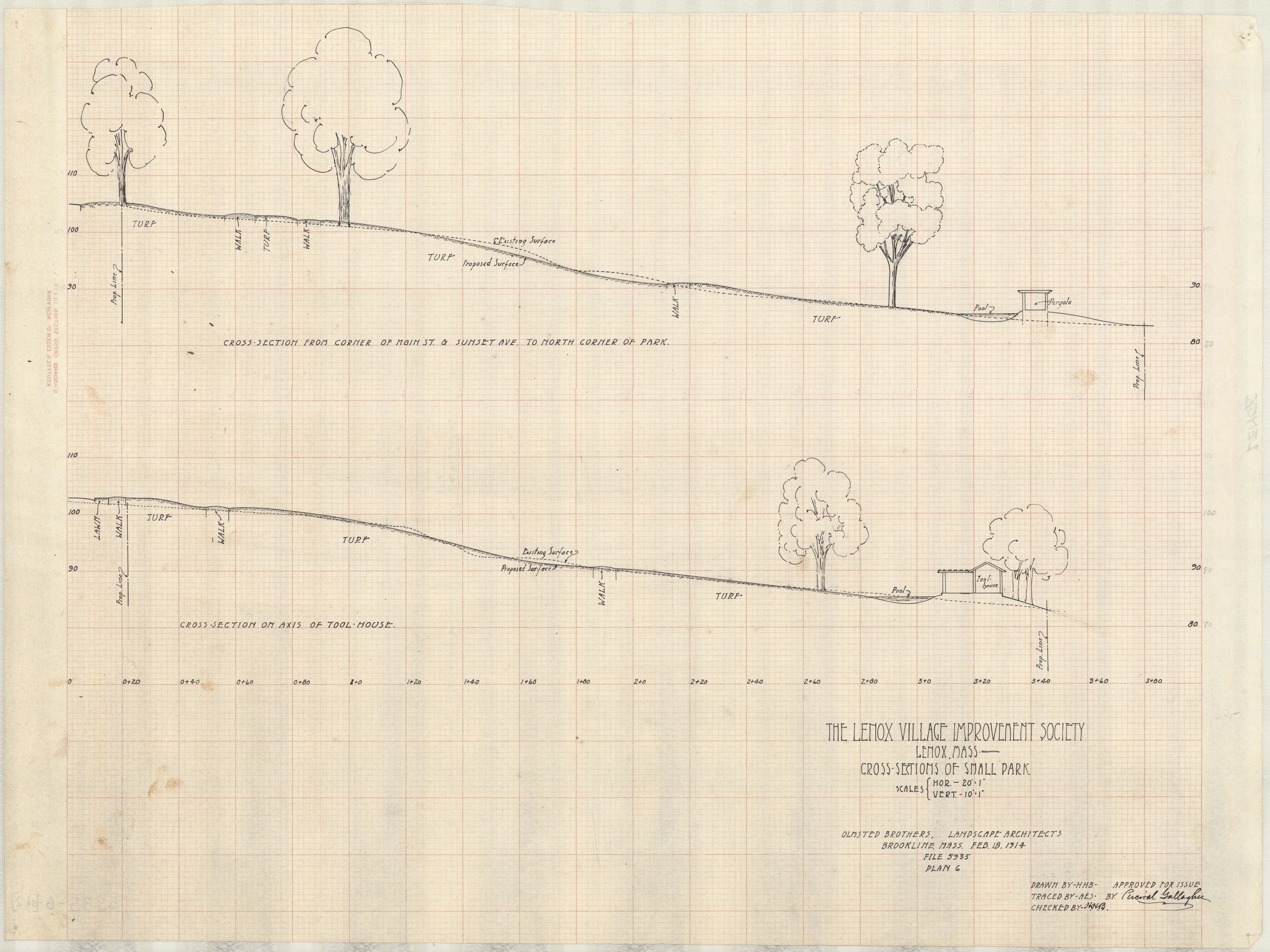
February is decision month. A study for the grading plan on the 3rd; the grading plan itself on the 6th, marked “Approved for Issue by J.C. Olmsted” — the same hand that initialled the species key at Wheatleigh in 1893; cross sections on the 18th, “Approved for Issue by Percival Gallagher”; and the planting plan on the 21st. The combined print was issued from the office on 11 June 1914 and the grading plan was revised on the 16th.
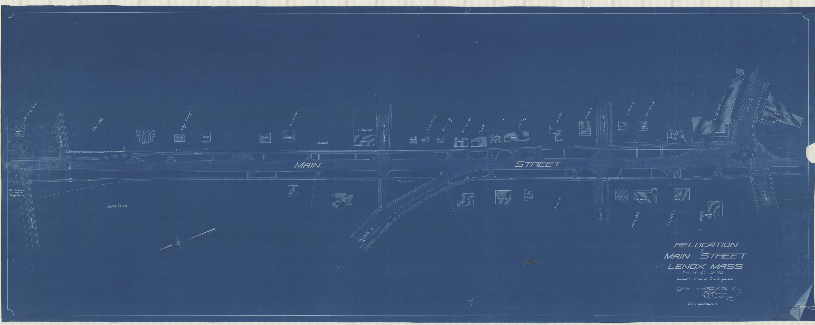
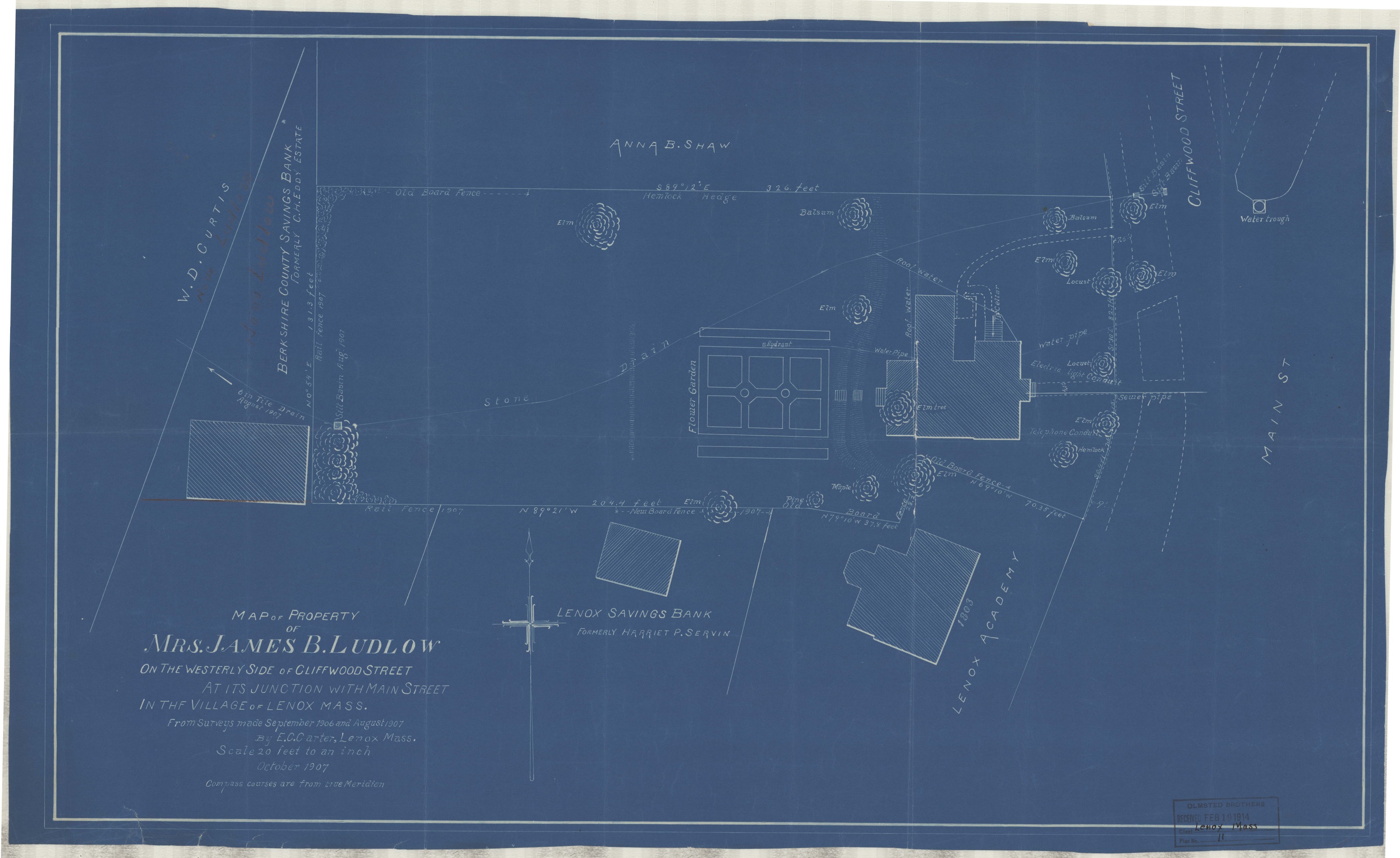
Two older sheets were fetched into the file while this was going on. Plan 8 is “RELOCATION OF MAIN ST.”, October 1909, by Lindholm & Tuller, Civil Engineers — a sheet five and a half feet long — received from Carter on 16 February 1914. Plan 11 is a survey of October 1907: “MAP OF PROPERTY OF MRS. JAMES B. LUDLOW ON THE WESTERLY SIDE OF CLIFFORD STREET AT ITS JUNCTION WITH MAIN STREET.” Clifford Street is how this archive spells the street that appears elsewhere as Cliffwood; the same substitution is noted on the Homestead page. Both are quoted here as they stand.
III. The planting list
Plan 10 is the sheet worth going to full size for. It is titled “LENOX VILLAGE IMPROVEMENT SOCIETY, LENOX, MASS. PLANTING PLAN OF SMALL PARK,” signed Olmsted Brothers, Landscape Architects, Brookline, Mass., dated 21 February 1914, and numbered in the office as File 5938 — not 5935, a discrepancy the inventory itself notes with “(Numbered 5938).” Main Street runs along the bottom edge, Sunset Avenue down the left, a house sits at the top corner and a Congregational chapel at the right.
Down the right-hand side of the sheet runs a planting list of sixty-seven numbered entries, in the office’s own lettering, with a note at the head: “First figures in beds indicate plants or mixture of plants to be used in each space. Second figures indicate number of plants or mixtures of plants estimated as required to fill each bed.” Entry 1 is a single American elm. Entry 2, a single scarlet oak. Entry 3 is a bed of thirty — six Belgian bush honeysuckle at eight feet, twenty-four snowberry at three. It goes on like that to entry 67, forty-five dwarf white wild roses at two feet apart.
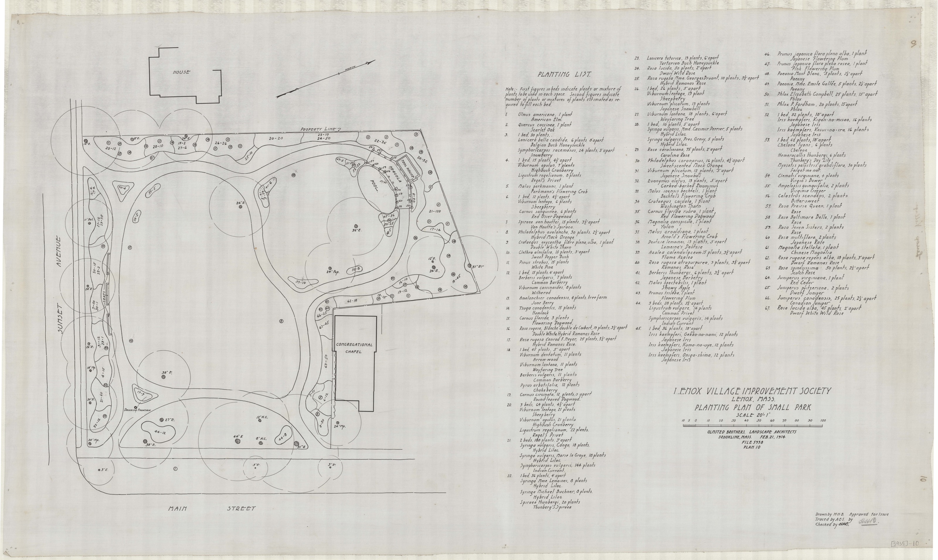
Run that list against the Massachusetts Prohibited Plant List as it stands today and three of the sixty-seven come back flagged: Lonicera bella candida at entry 3, Berberis vulgaris — seven plants in a bed of fifteen — at entry 12, and Rosa multiflora, two plants, at entry 60. The current list carries Bell’s honeysuckle as Lonicera × bella, common barberry as Berberis vulgaris, and multiflora rose under its own name. The same exercise on the Wheatleigh planting schedule of 1893 turns up seven, and is worked through in Seven banned plants. Nothing here is a recommendation about what to plant; the point is only that the 1914 list is a document of its moment, and that its moment is not ours.
IV. Stockbridge: the ground by the depot
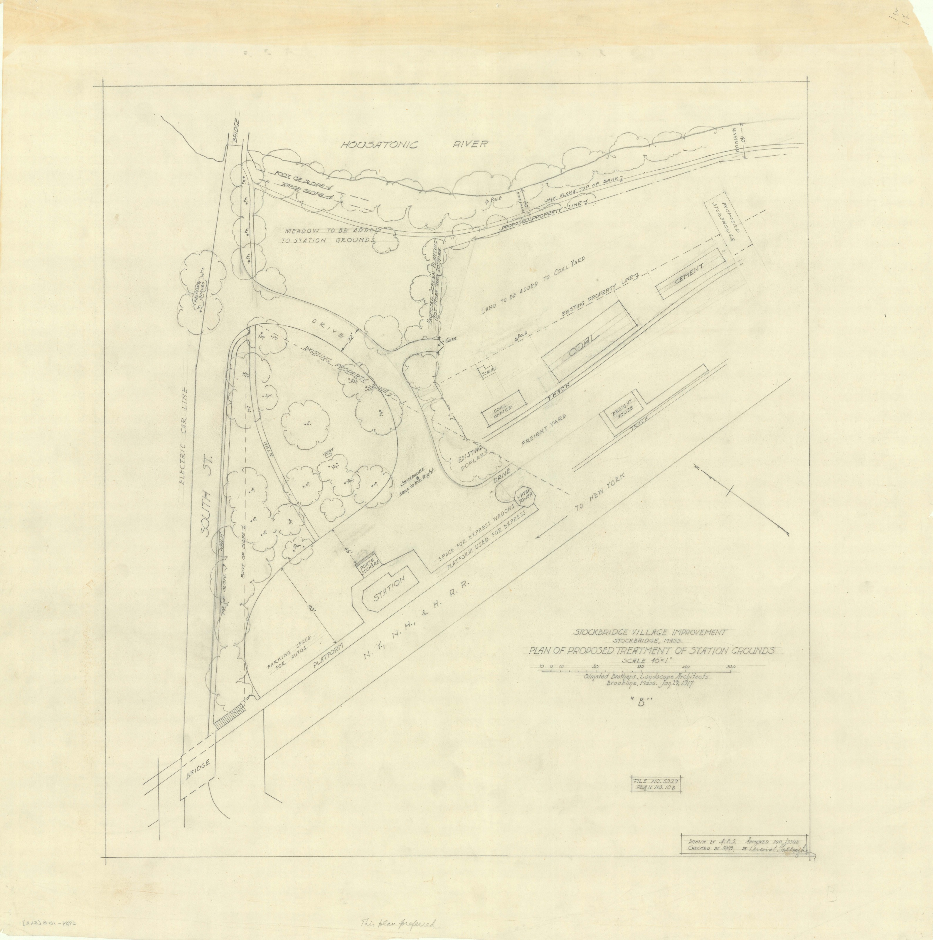
The Laurel Hill Association was founded in 1853 and describes itself as the oldest village improvement society in the United States. On 15 December 1882 it bought a parcel of land at the railroad station from Amelia Ashburner for $370 — one and seven tenths acres between the station property and the Housatonic. This job is what happened to that parcel thirty-one years later.
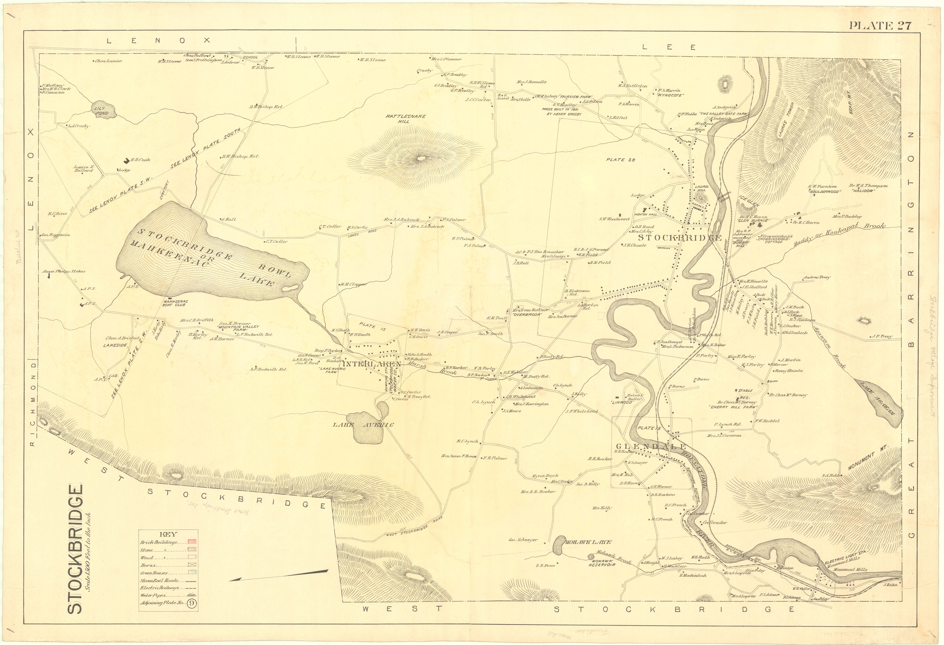
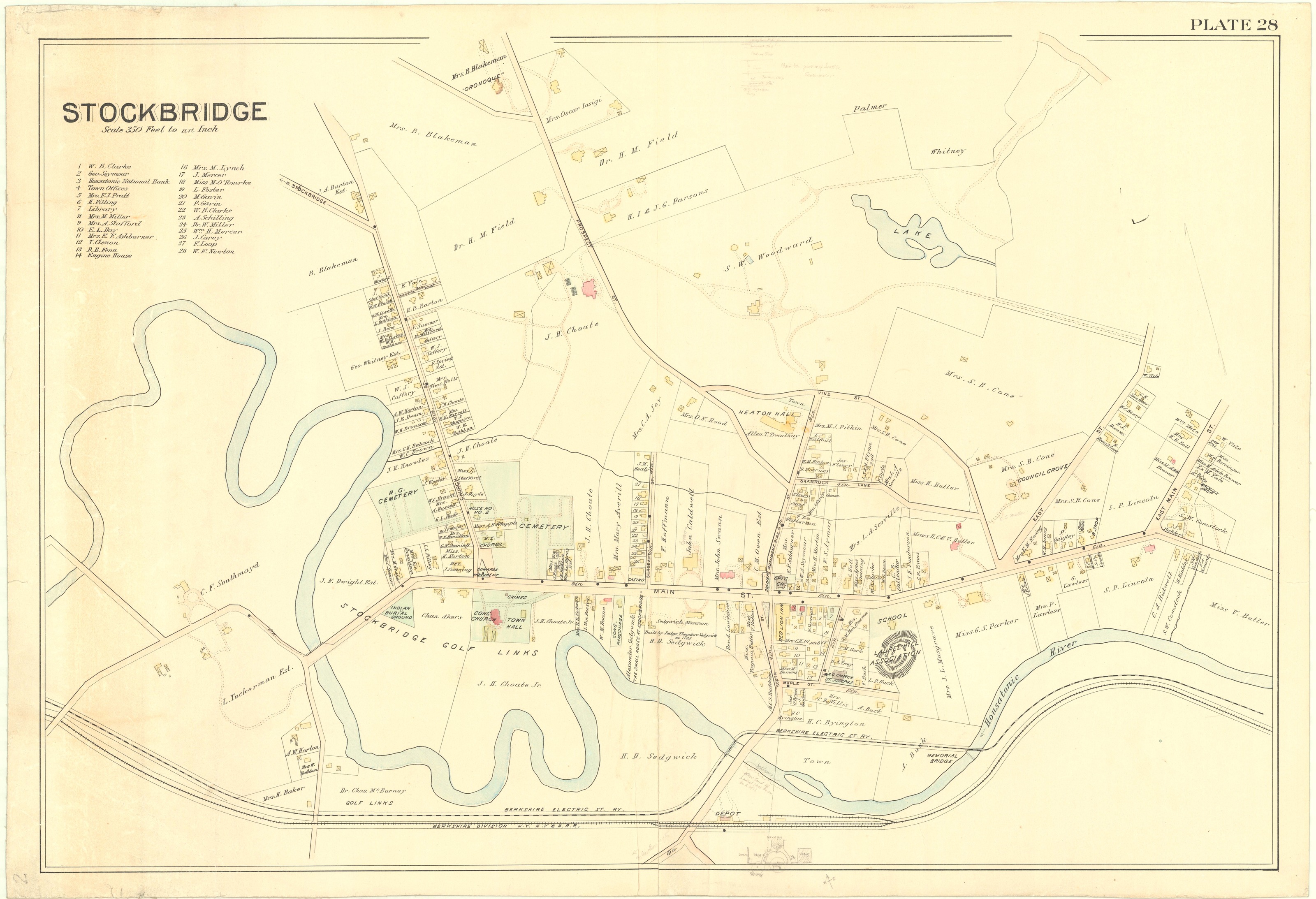
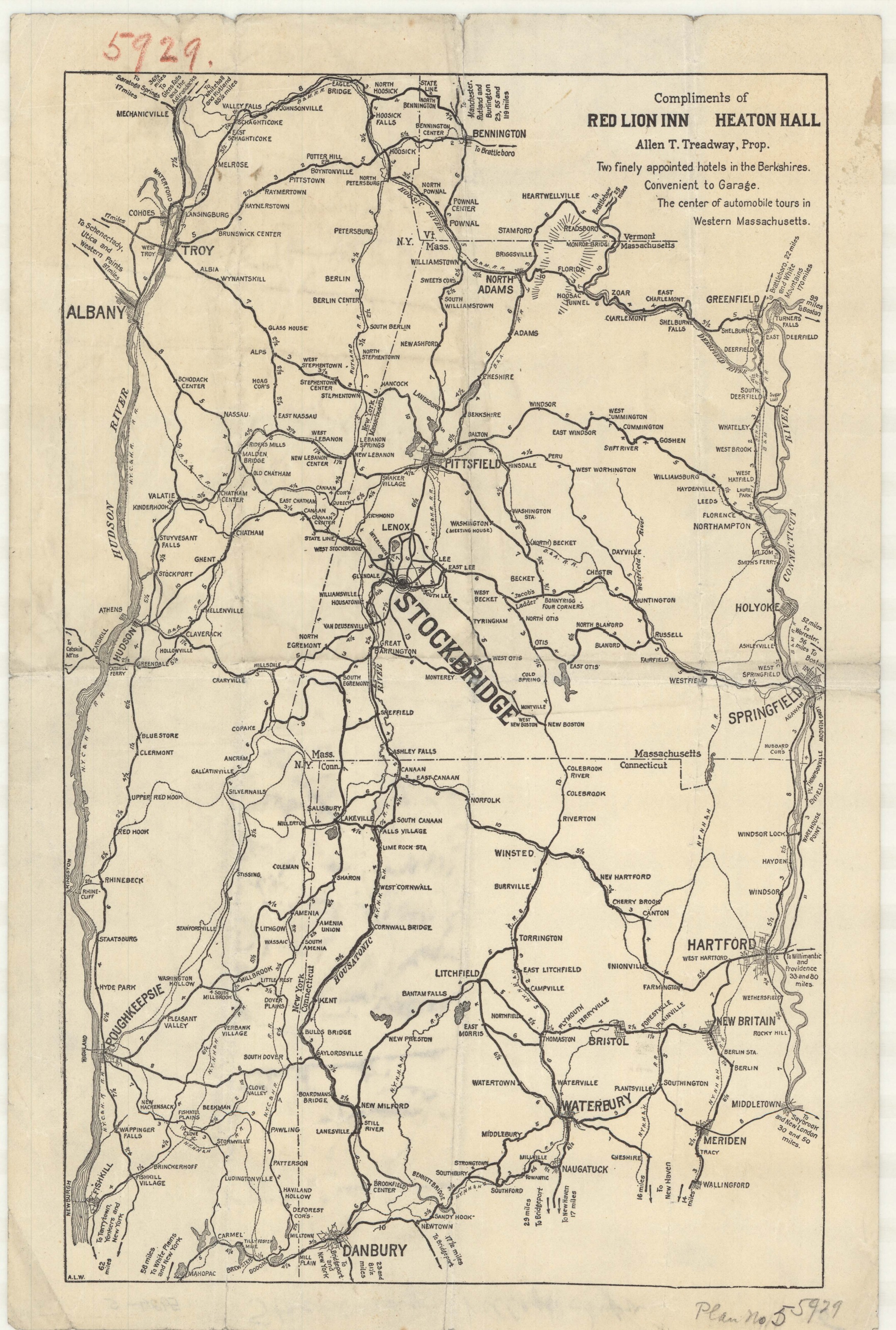
It opens, in October 1913, with reconnaissance rather than design. Plans 1 and 2 are plates 27 and 28 lifted out of the Atlas of Berkshire County, Massachusetts, Barnes & Farnham, Pittsfield, 1904, with the mountains written on the margin in graphite, and on plate 28 the words “Willows and New land of Laural Hill Association” alongside pencil sketches of a church, a store and an elm, and of Main Street just west of South Street. Plan 5, 28 October 1913, is not a survey at all but a tourist map: “OUTLINE MAP OF COUNTRY ABOUT STOCKBRIDGE SHOWING MAIN ROADS,” printed with the compliments of the Red Lion Inn and Heaton Hall, Allen Treadway, Prop., advertising “Two finely appointed Hotels in the Berkshires. Convenient to Garage. The Center of Automobile tours in Western Massachusetts.” Three of these first sheets carry the note “Brought by Blossom”: somebody from the office came and collected what the town had.
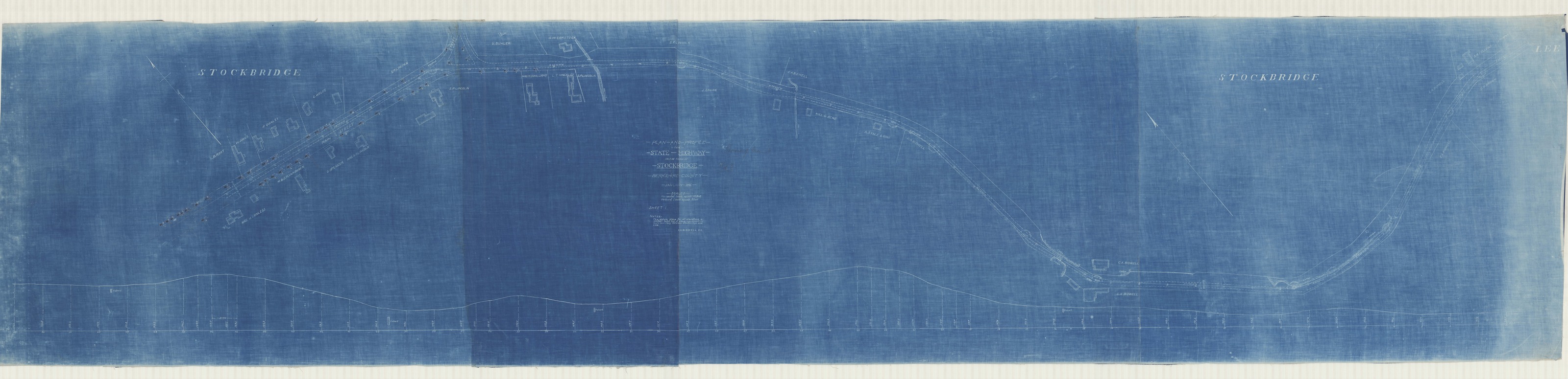
The oldest sheet in the file is older still. Plan 3 is a state highway plan and profile of January 1895 for the east side of Main Street, by C.A. Bidwell C.E. — a strip of paper thirty-one inches by eleven feet four and a half, with the trees inked in and, the inventory says, showing the original location of the Byington Memorial Seat. It came to the office from Bernard Hoffman.
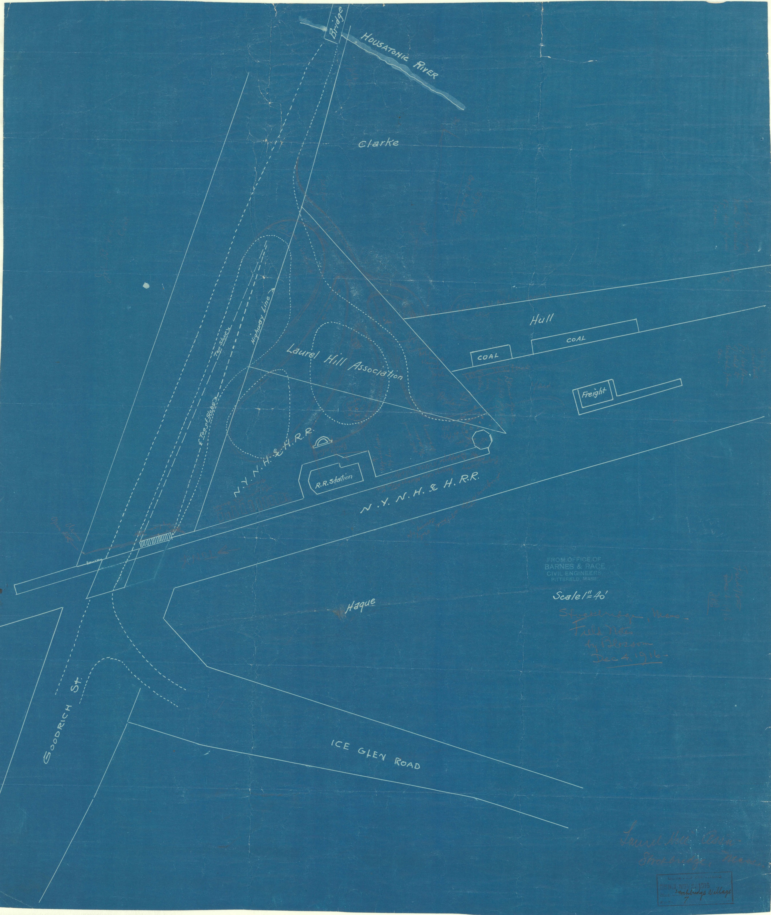
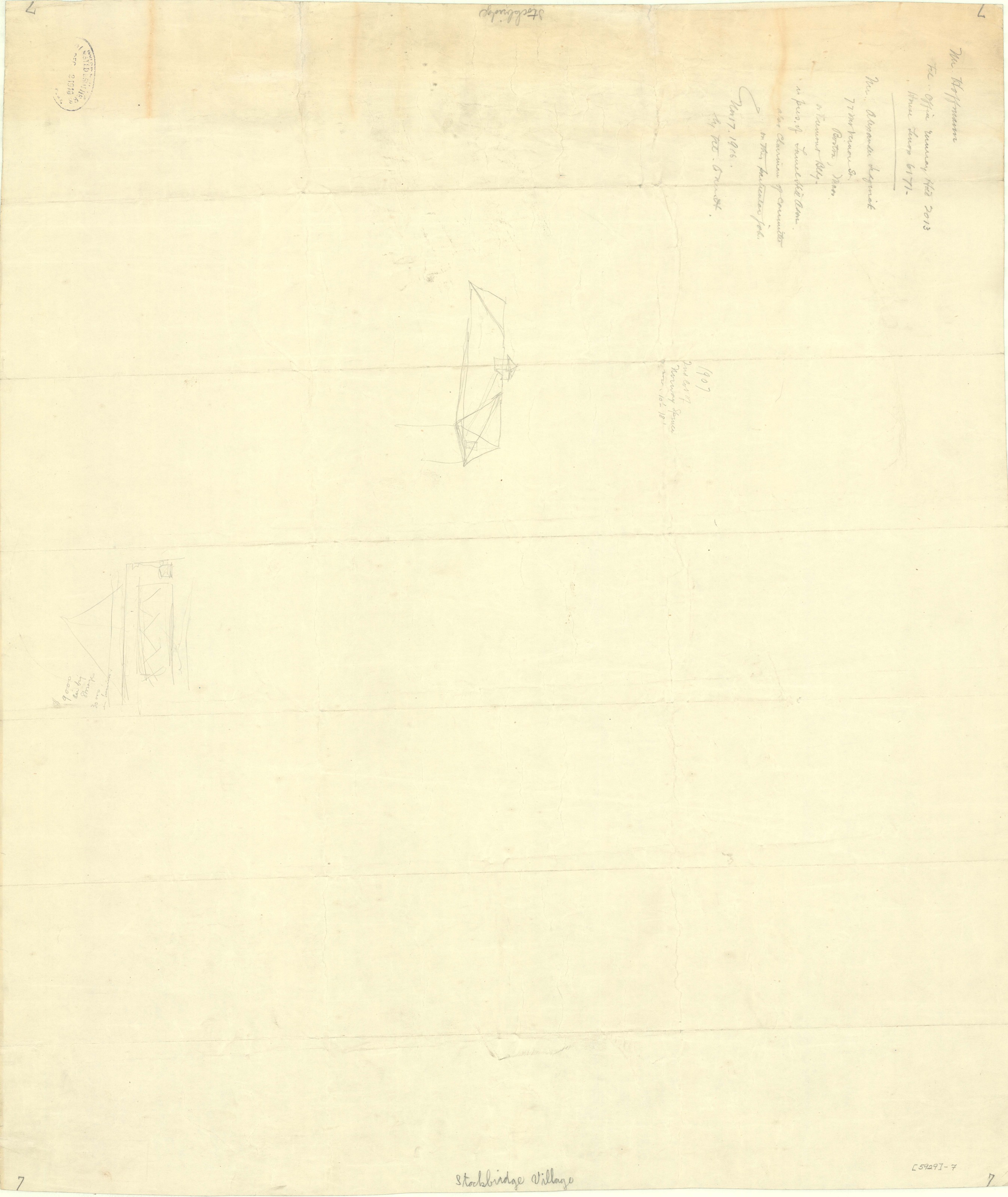
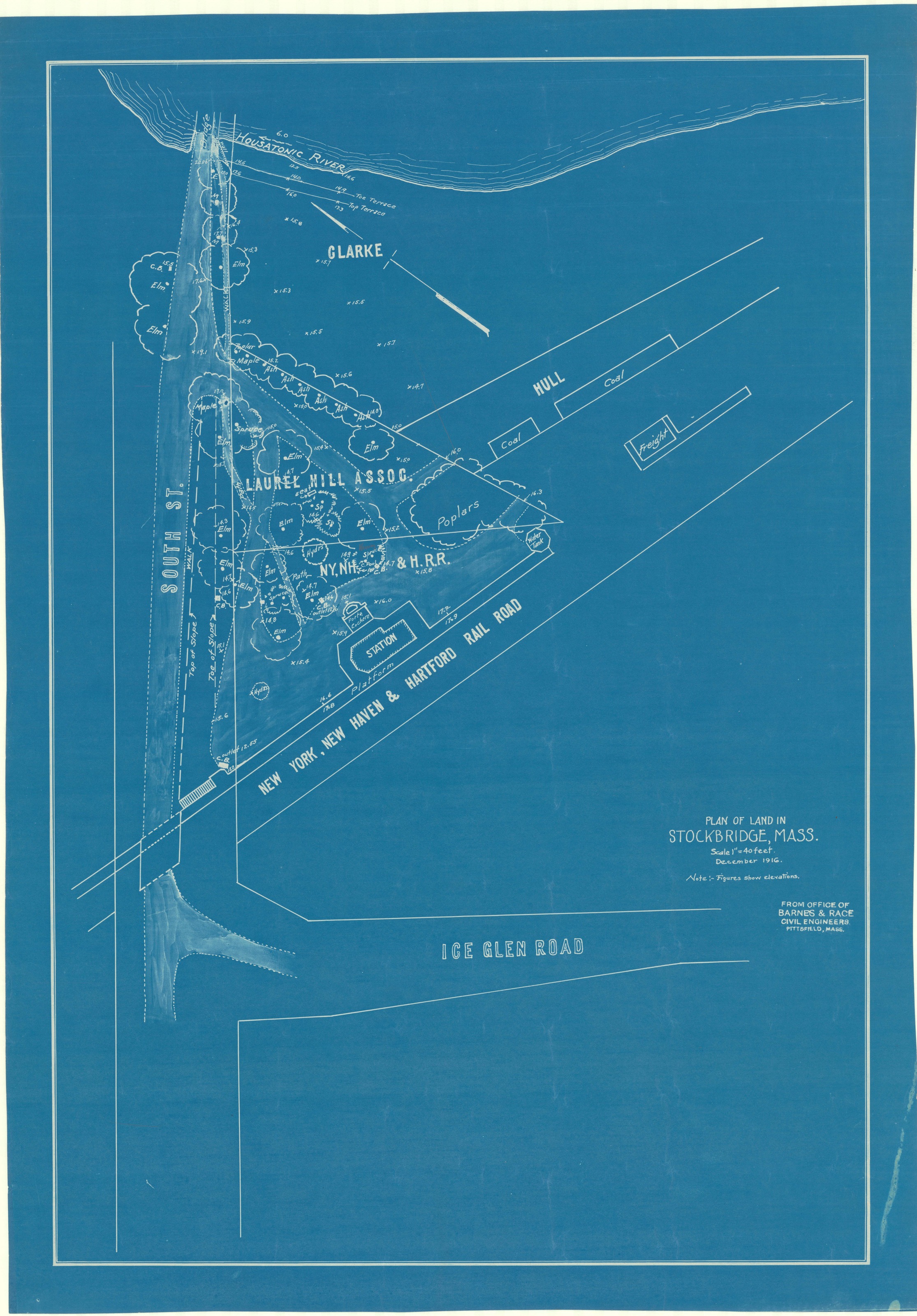
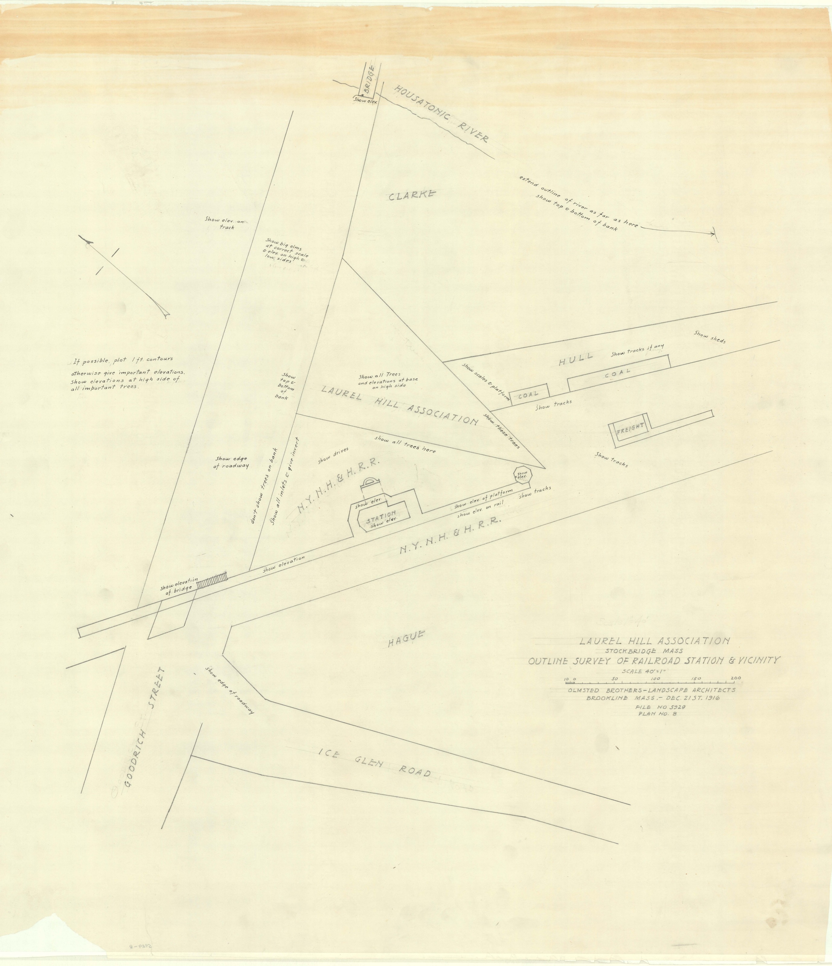
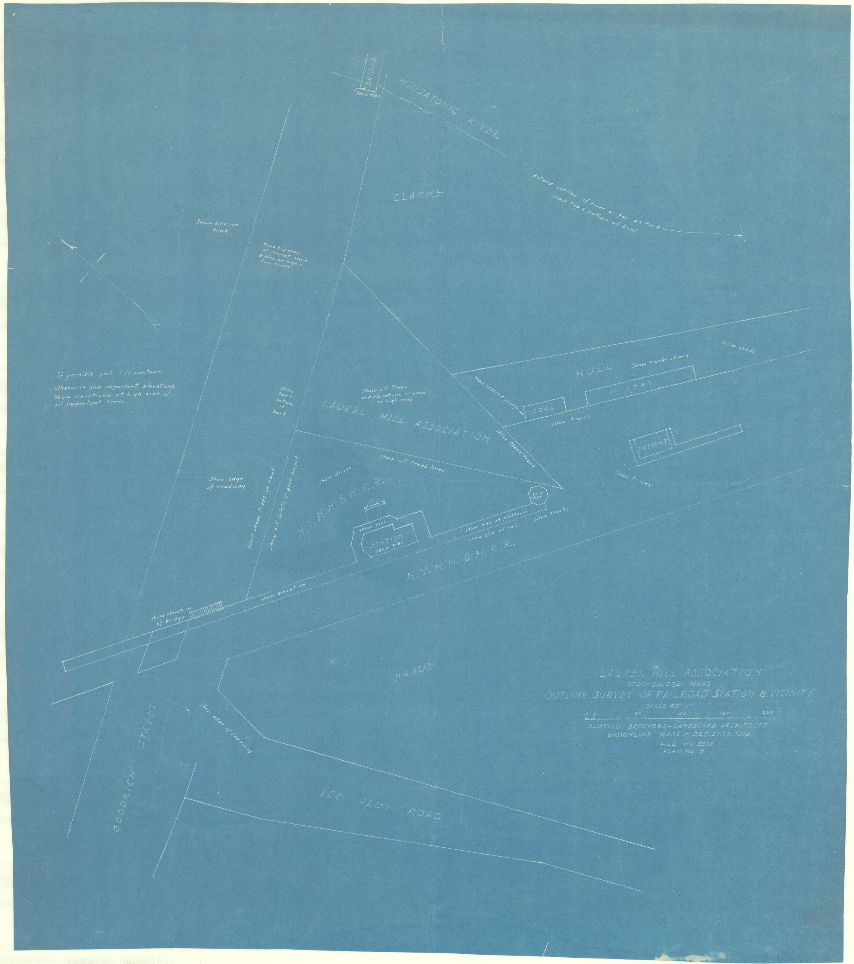
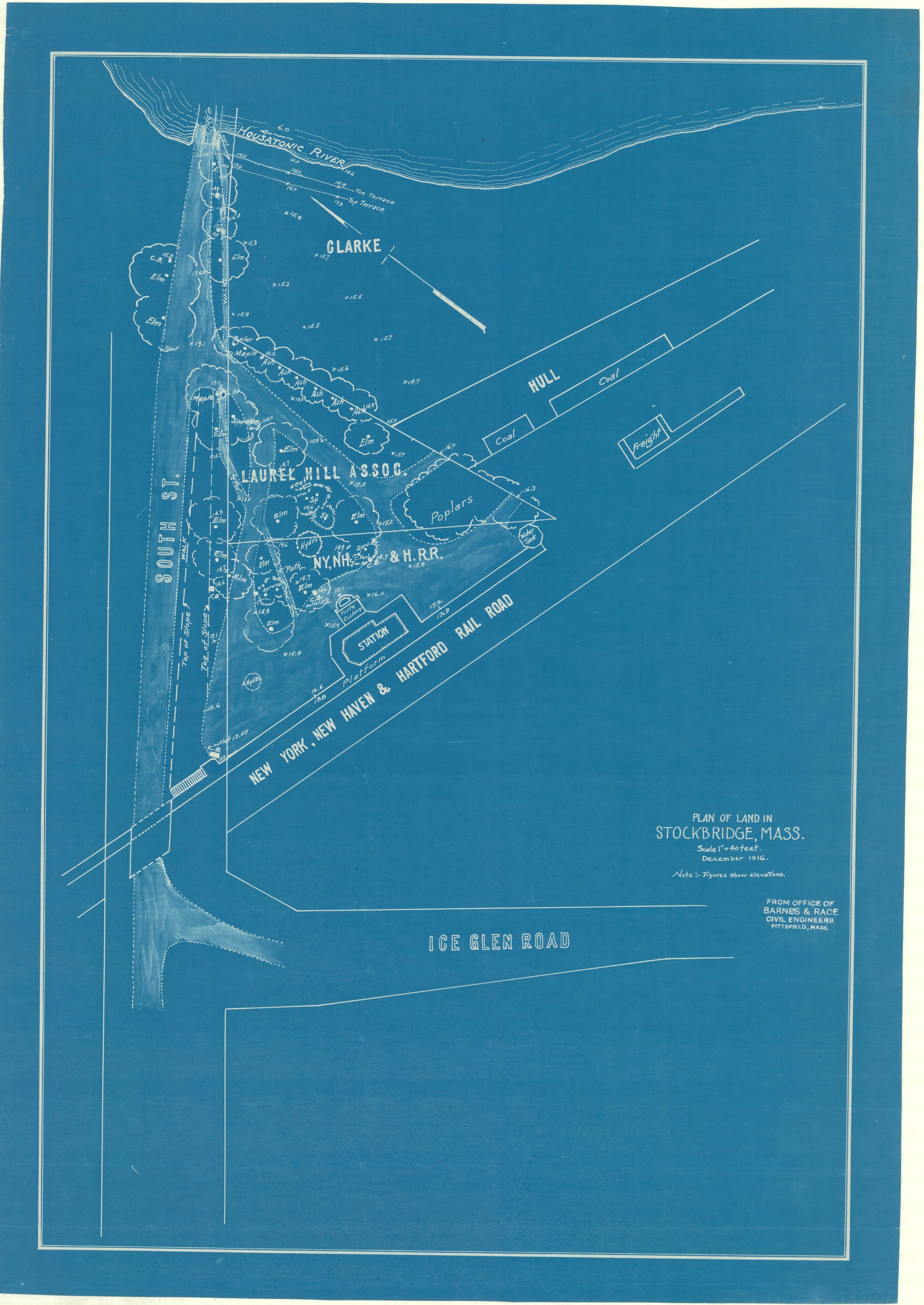
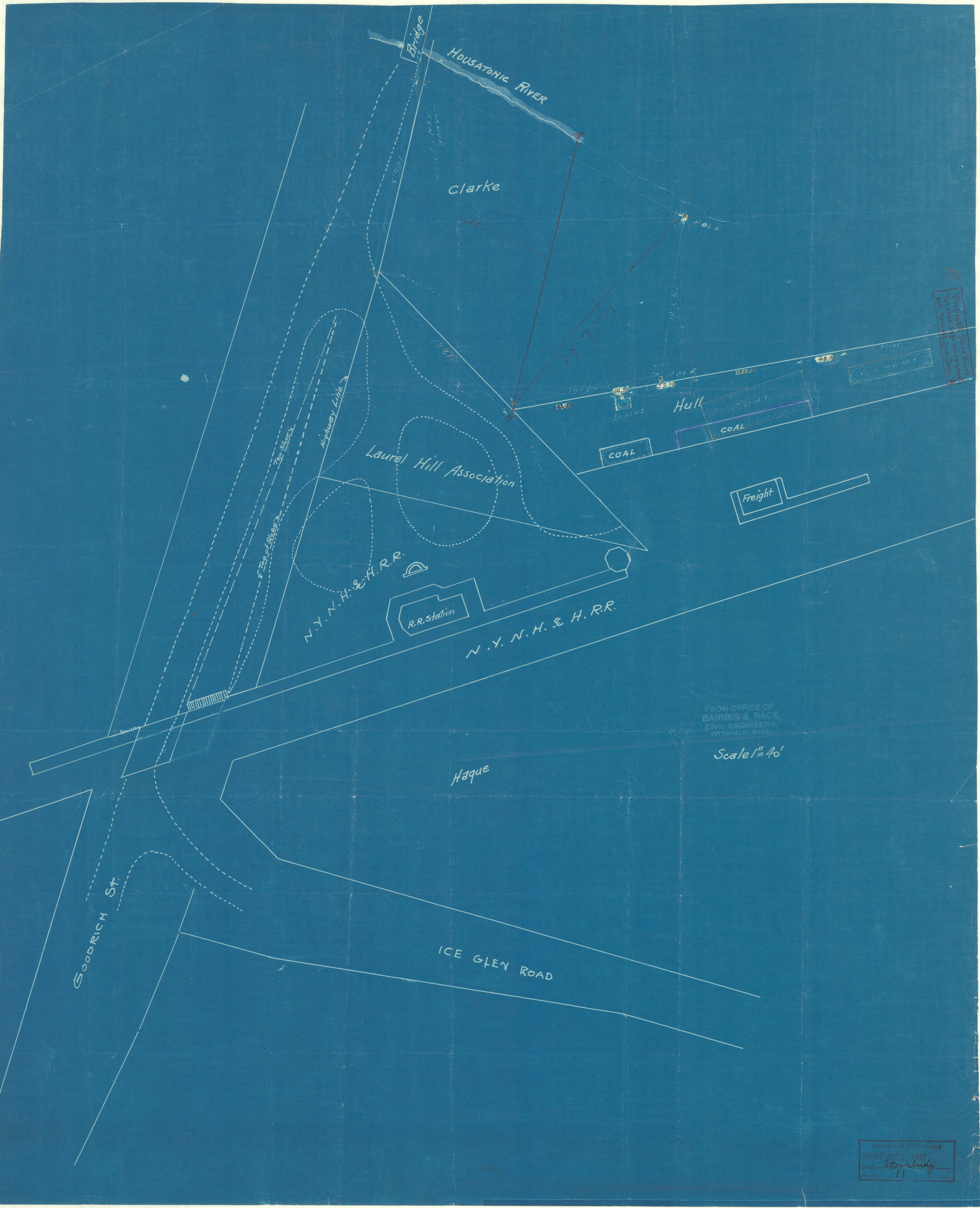
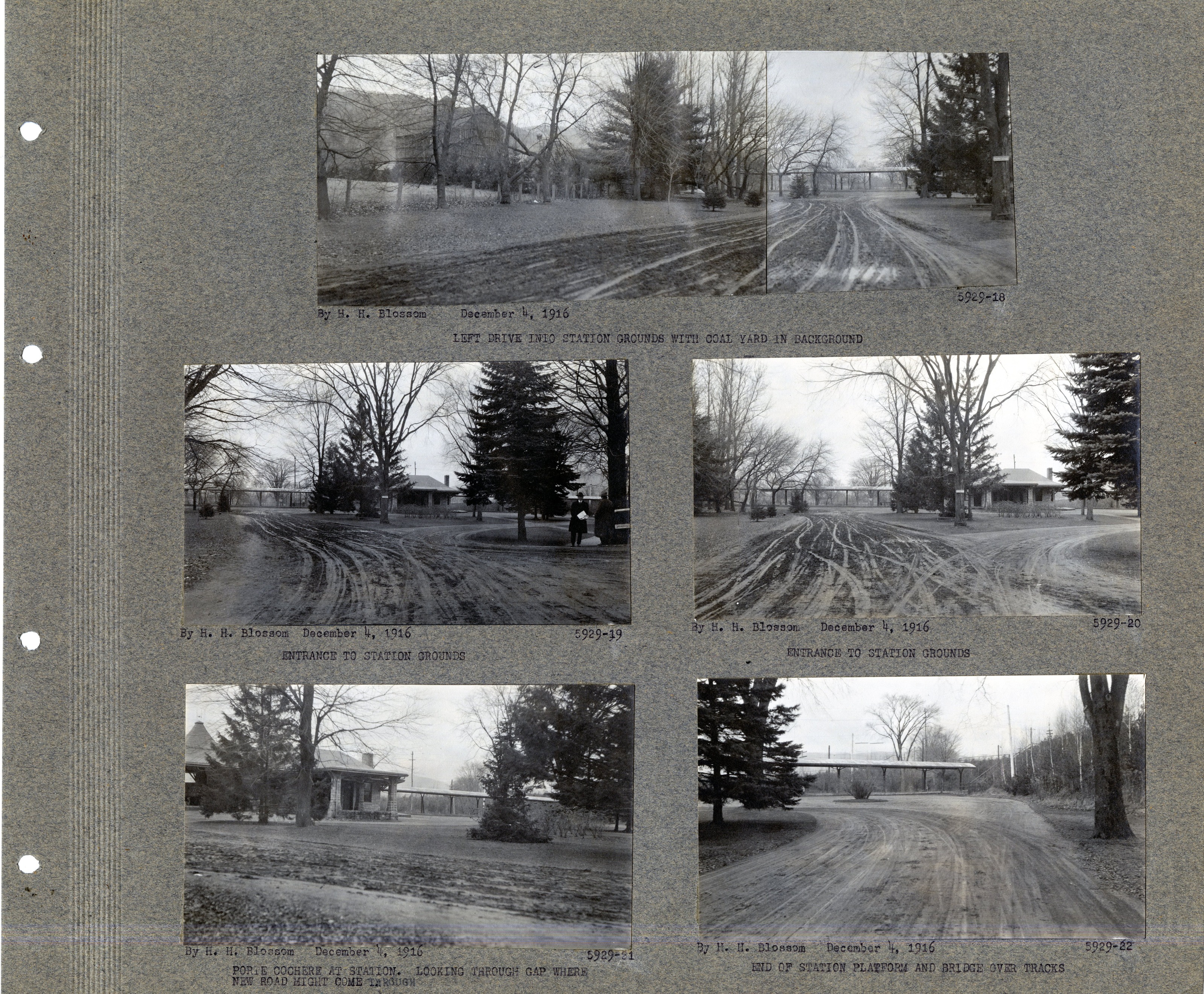
From November 1915 the drawings are about the depot land. Plan 7 is headed, in the archive’s transcription, “LAURAL HILL ASSOCIATION, STOCKBRIDGE, MA, INCORRECT OUTLINE OF NEW PROPERTY NEAR RAILROAD STATION” — a title that records its own error and was kept anyway. It came from the office of Barnes & Race, Civil Engineers, Pittsfield, and on it somebody wrote down two telephone numbers: “Mr. Hoffman, Tel. Office Murray Hill 2013, House Lenox, Tel 6171,” and the name Mrs. Alexander Sedgwick. Blossom took field notes on it on 4 December 1916. Plan 8, of 21 December 1916, is the corrected copy.
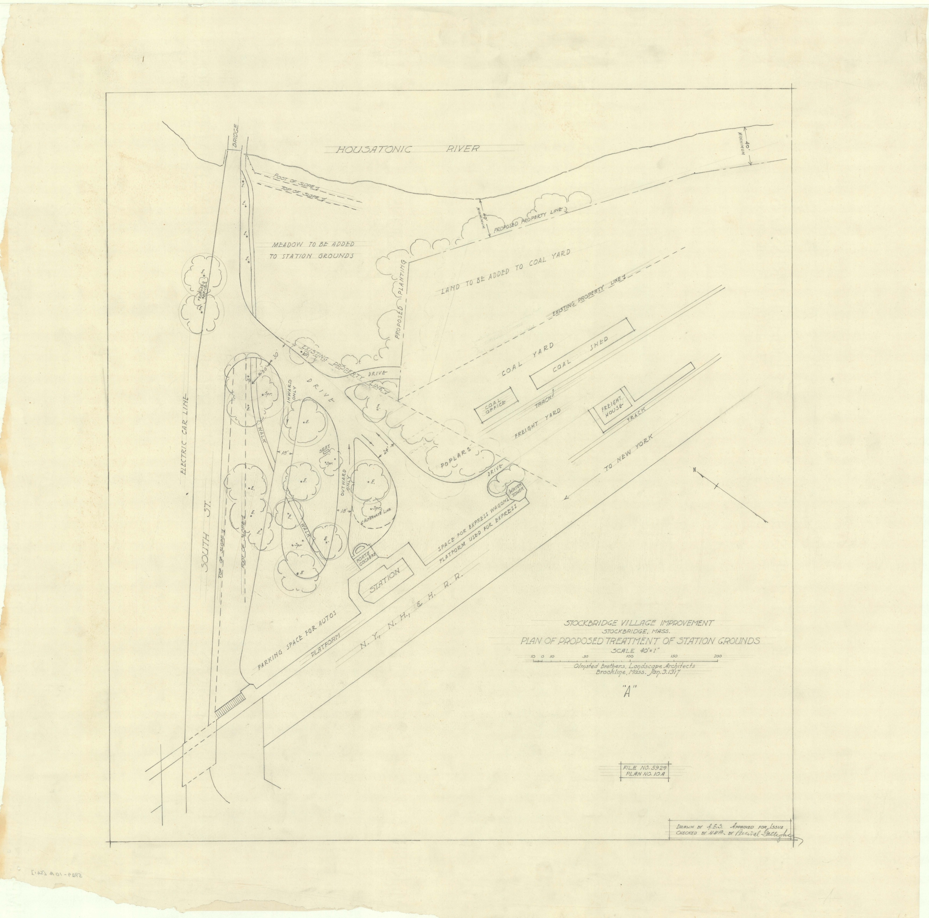
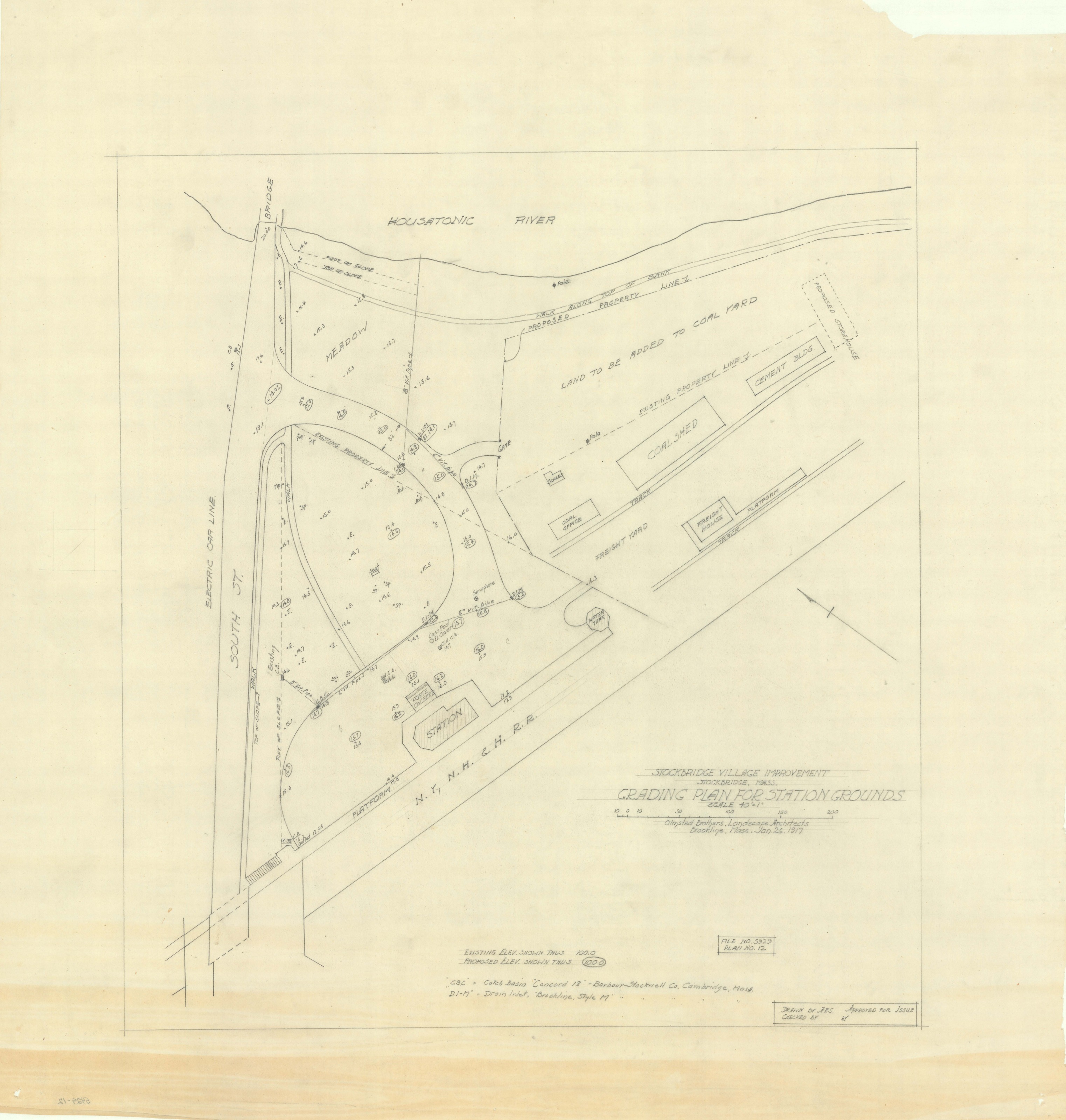
Then the design, in three weeks of January 1917. Scheme A on the 9th and Scheme B on the 29th, both titled “PLAN OF PROPOSED TREATMENT OF STATION GROUNDS” and both “Approved by Percival Gallagher”; B is marked “This plan preferred.” Between them, on the 24th, a survey showing the coal sheds and a note reading “Proposed Store House, not over 30’ above ground and 400’ from Park A”; and on the 26th the grading plan, down to the catch basins — “CBC, Catch Basins, Concord # 18, DI-M, Drain inlets, Brookline style M.” A much later hand has written on two of the sheets: “Close to present existing conditions. JNP.”
The Hoffman of these sheets is Bernhard Hoffmann of Stockbridge, an electrical engineer who, an account of the family puts it, “was equally committed to beauty in his hometown and endeavored to assist in village planning and improvement supporting the Laurel Hill Association, the new library, and hiring Frederick Law Olmsted to design his own garden.” He was made an honorary member of the American Institute of Architects in 1923, at forty-nine, and went on to lead the rebuilding of Santa Barbara in the Spanish Colonial manner. The Olmsted clerks wrote him down as Hoffman; his own spelling was Hoffmann.
V. The album, and the argument it makes
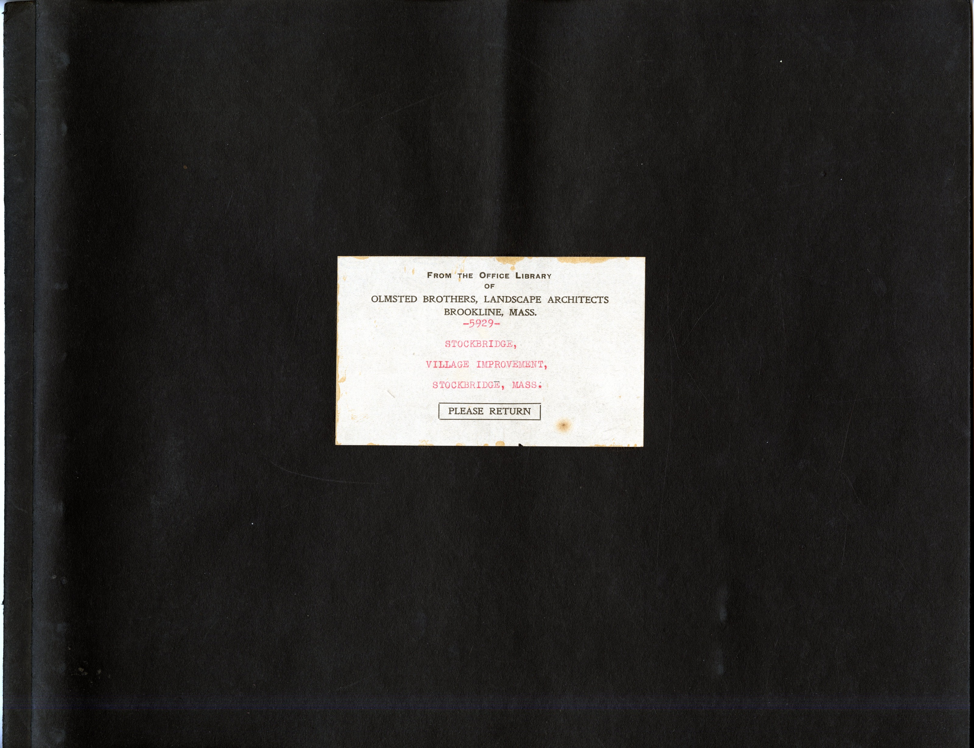
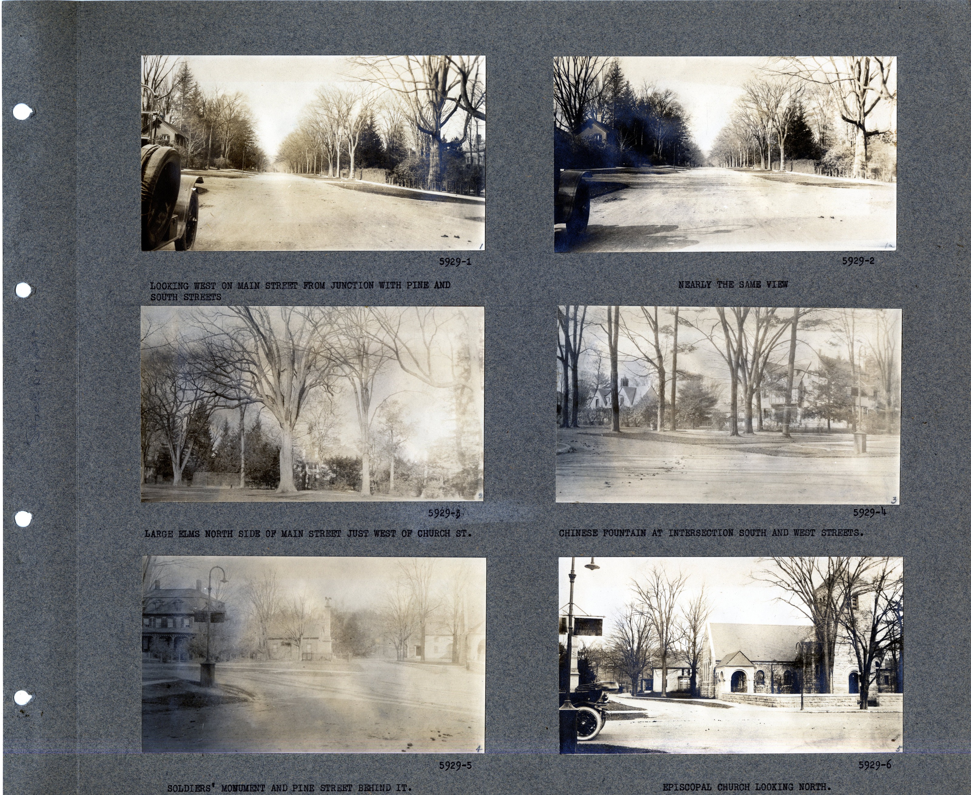
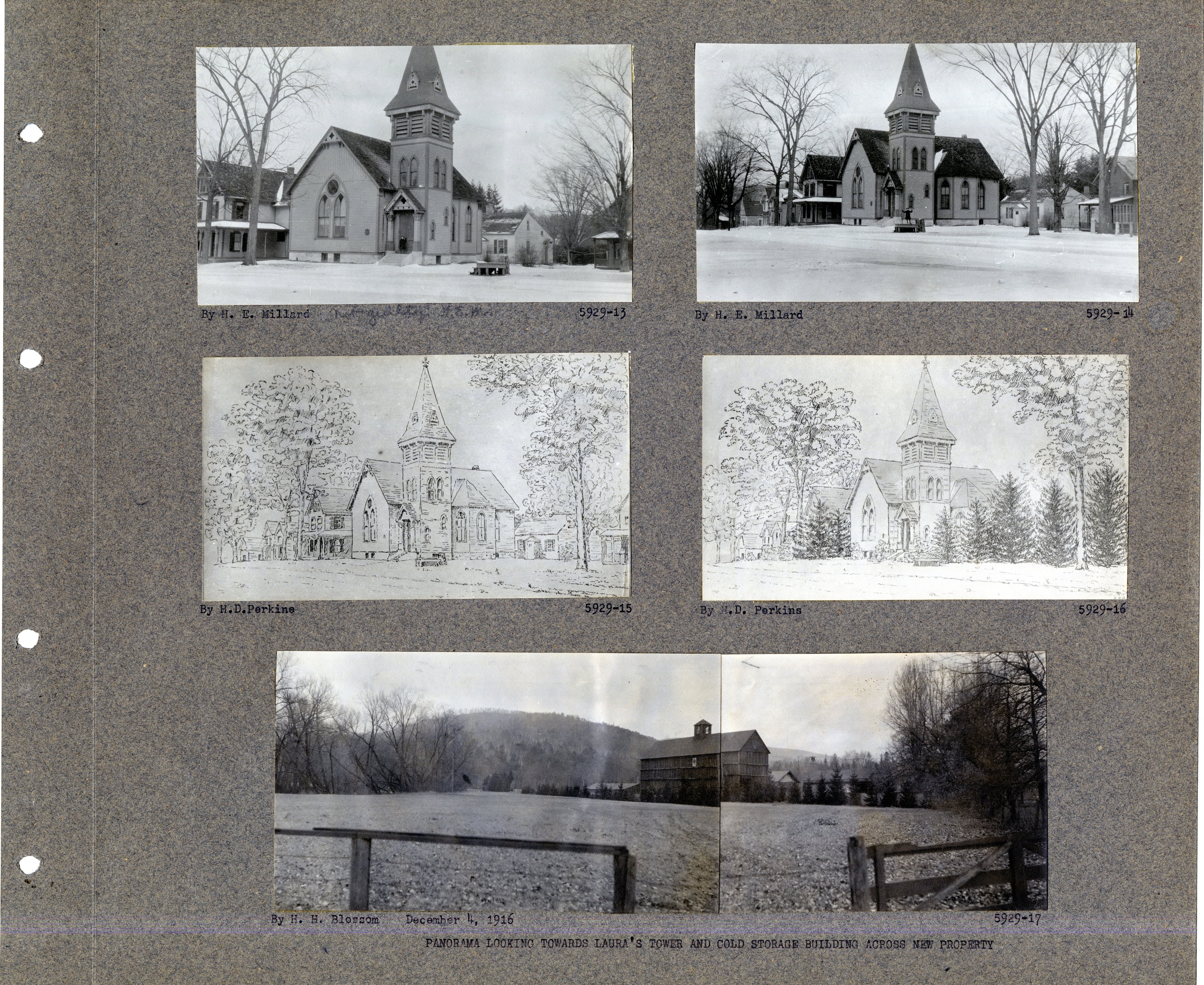
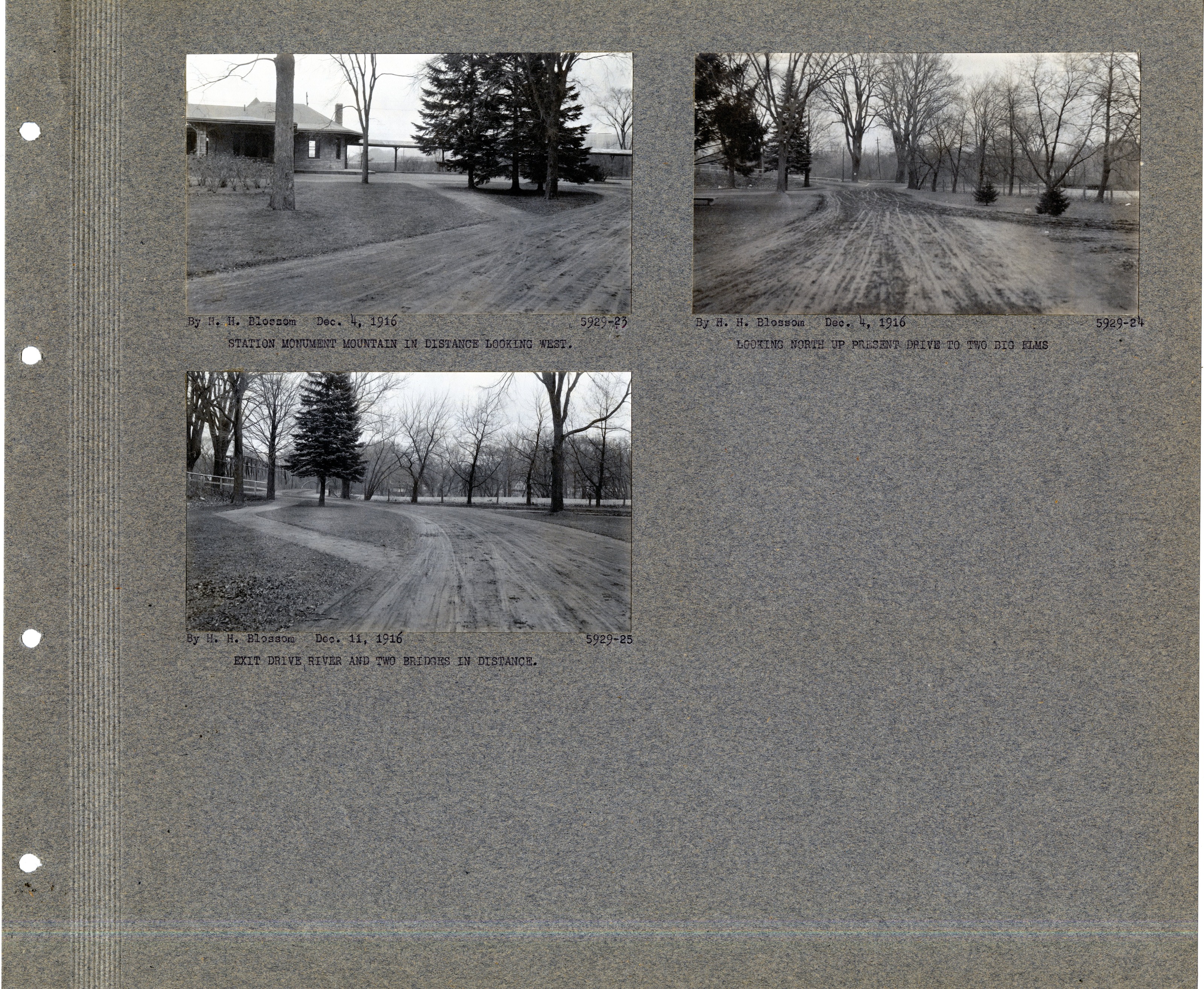
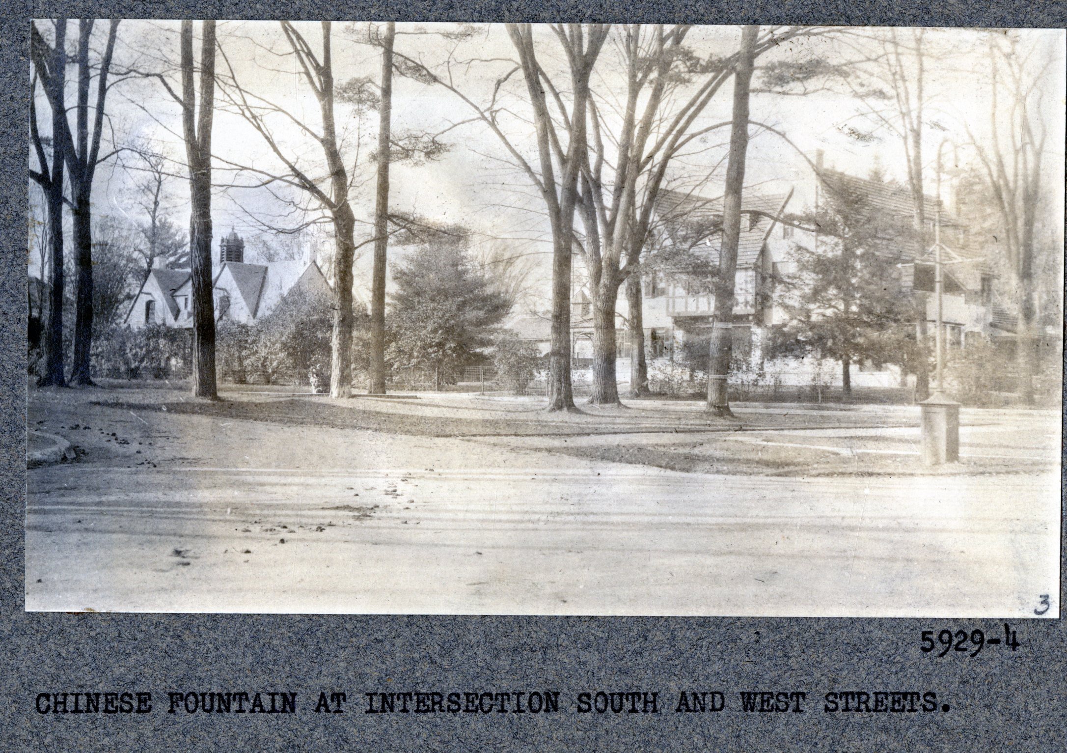
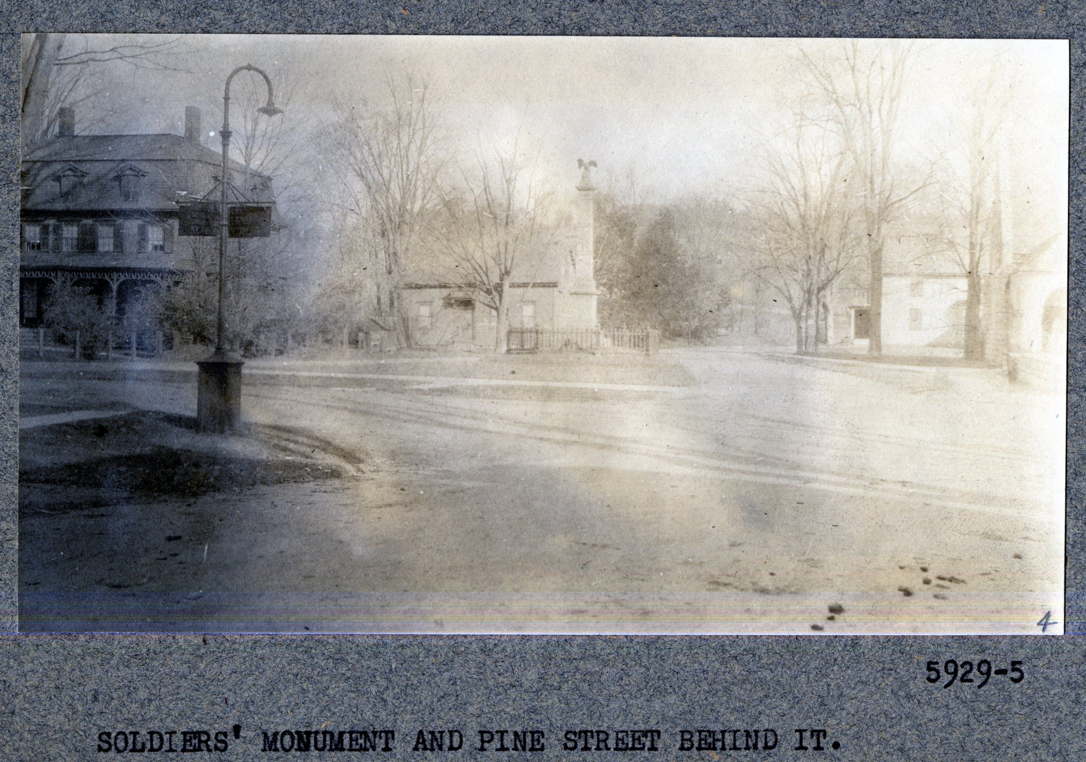
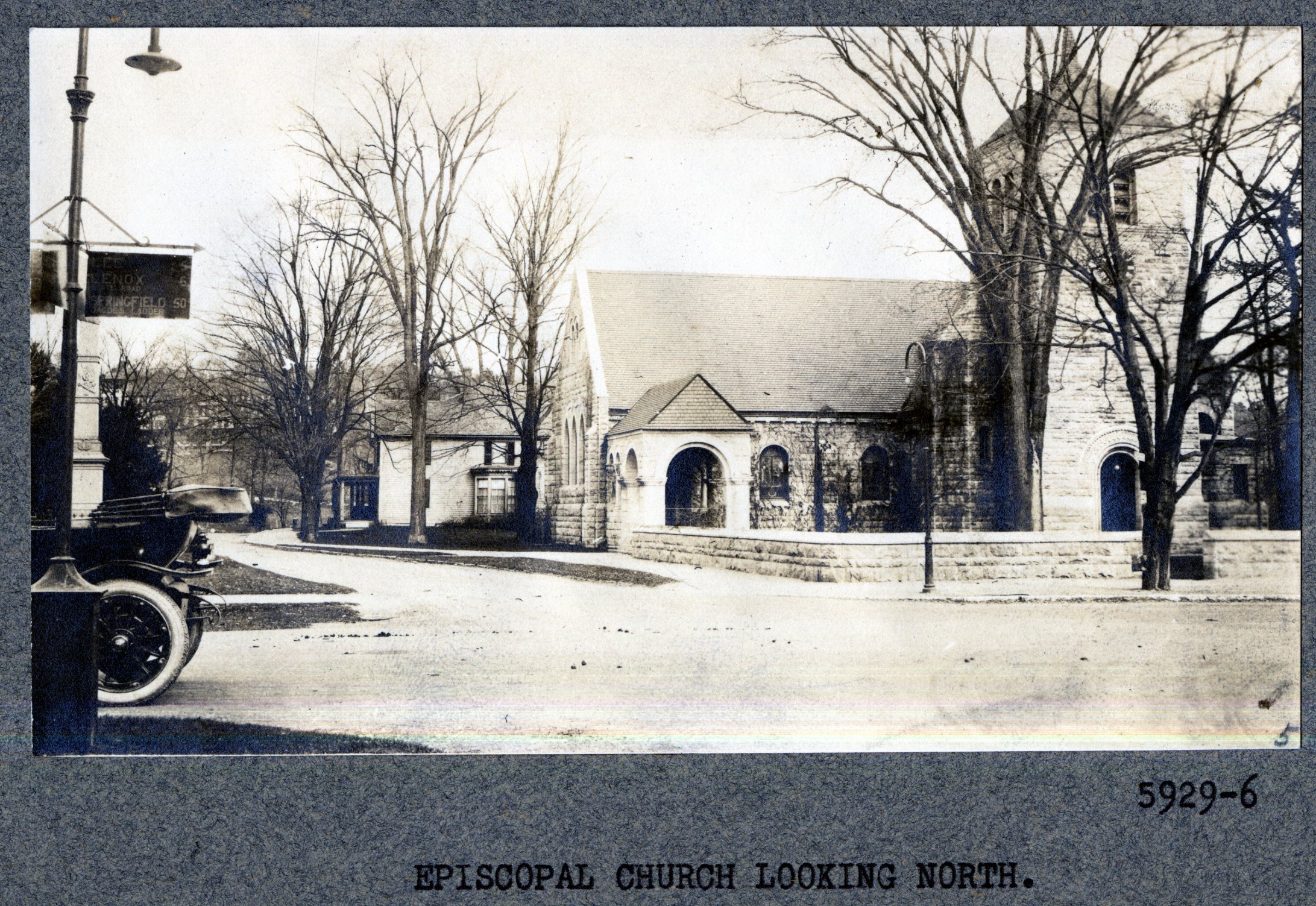
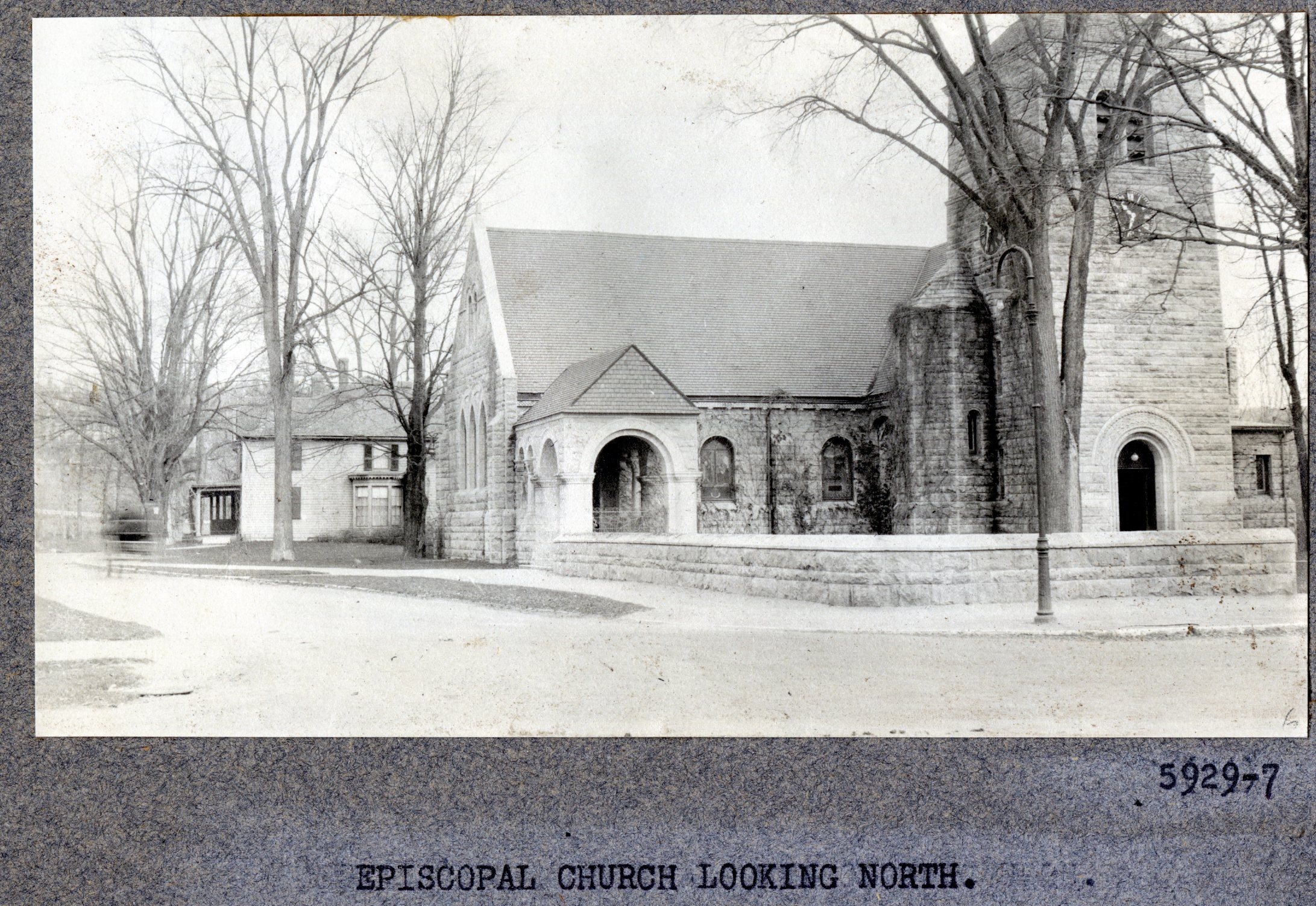
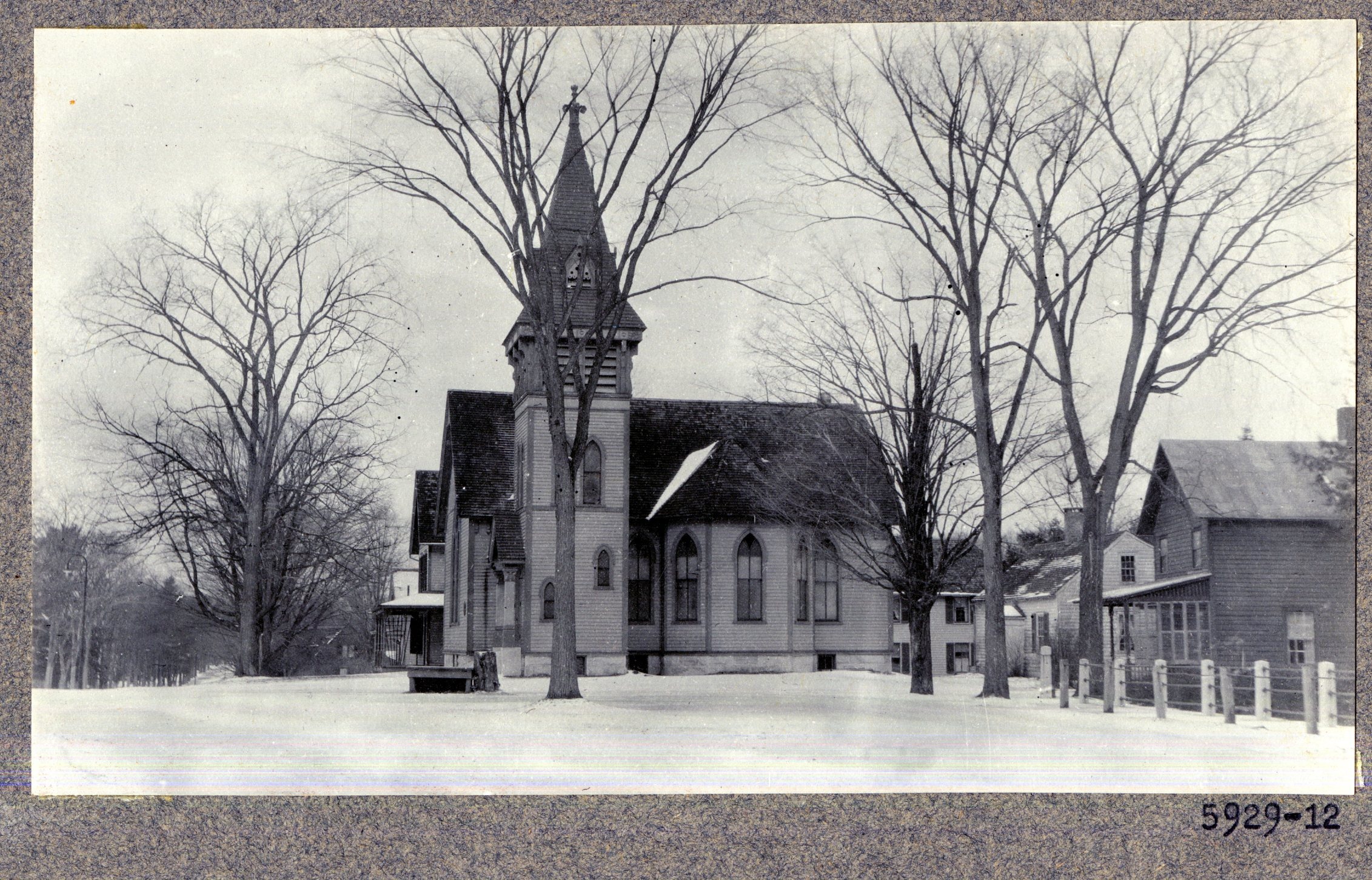
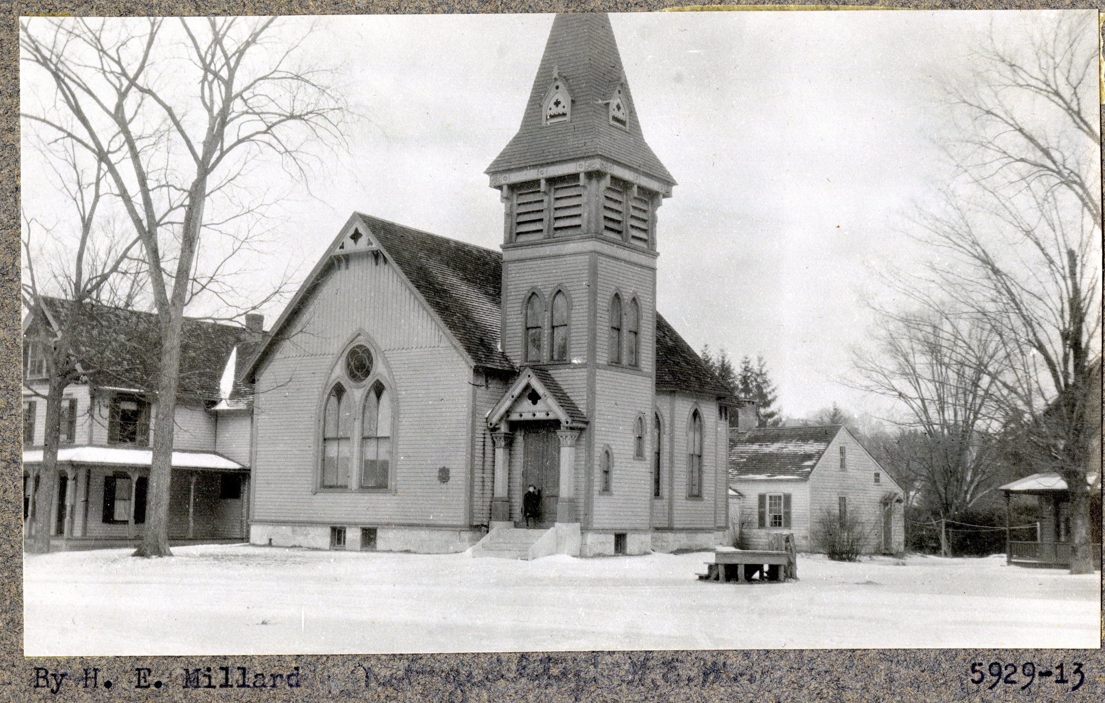
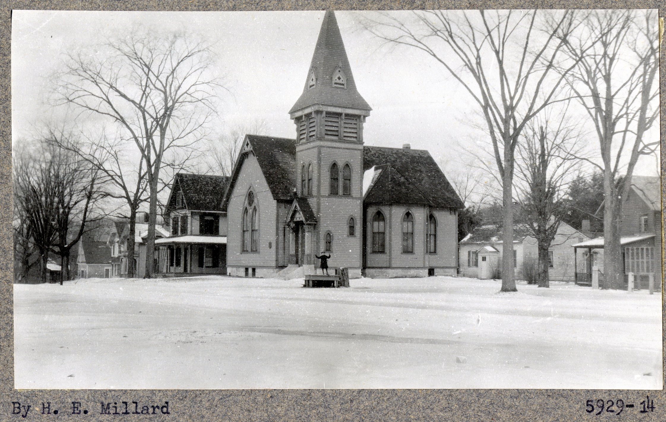
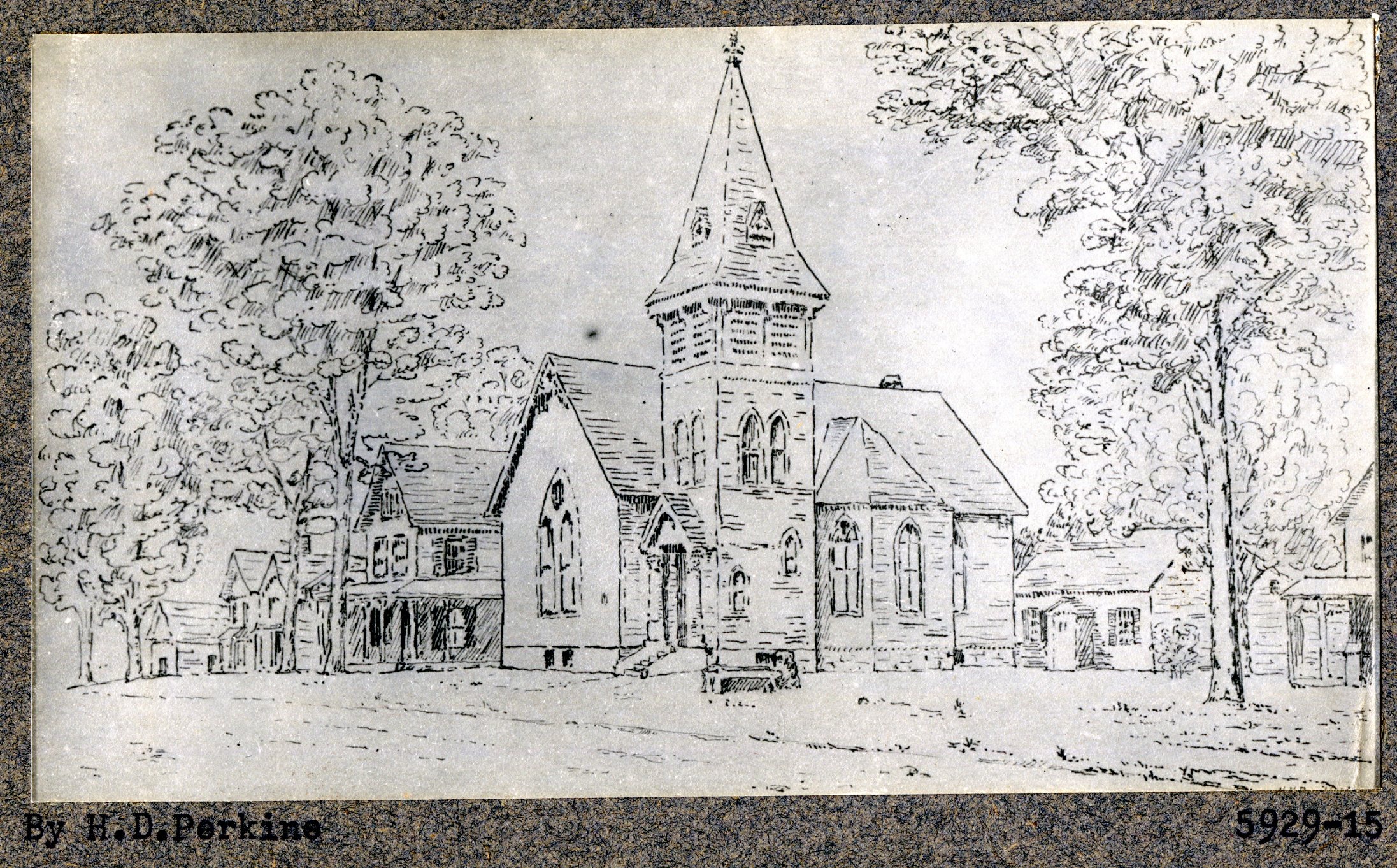
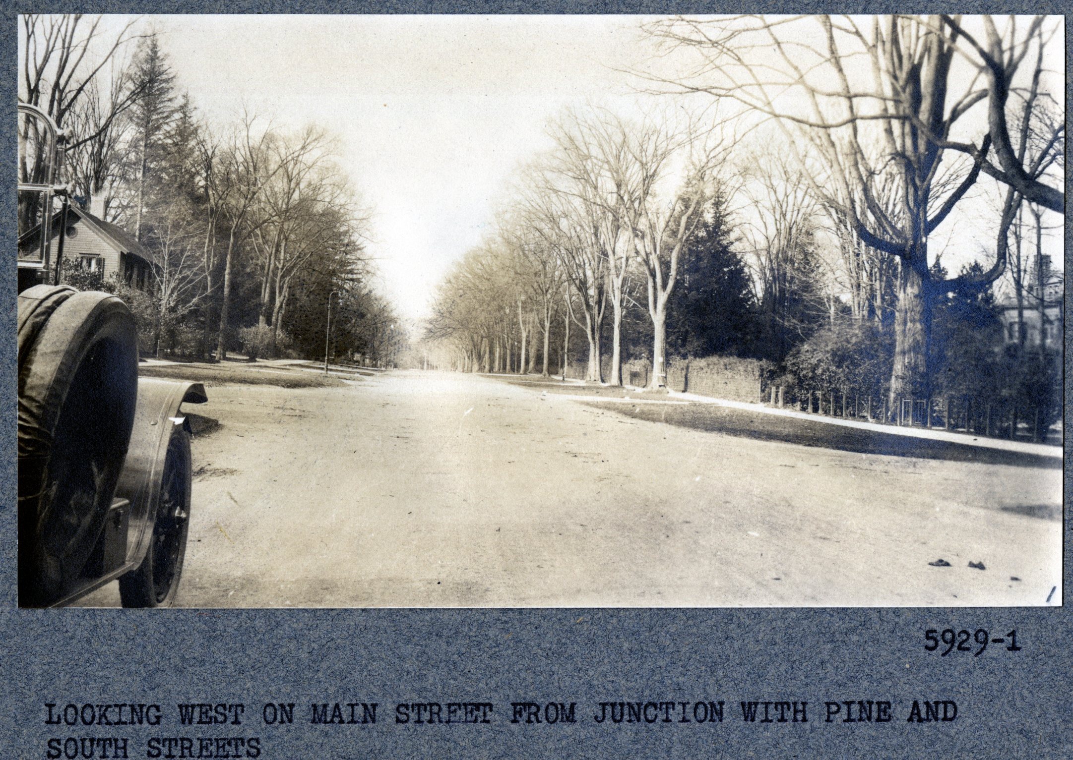
The Stockbridge file includes an office photograph album, labeled “FROM THE OFFICE LIBRARY OF OLMSTED BROTHERS, LANDSCAPE ARCHITECTS, BROOKLINE, MASS. —5929— STOCKBRIDGE, VILLAGE IMPROVEMENT, STOCKBRIDGE, MASS. PLEASE RETURN.” The prints are captioned in type, one by one, and the captions are worth having whole, because they are a walk:
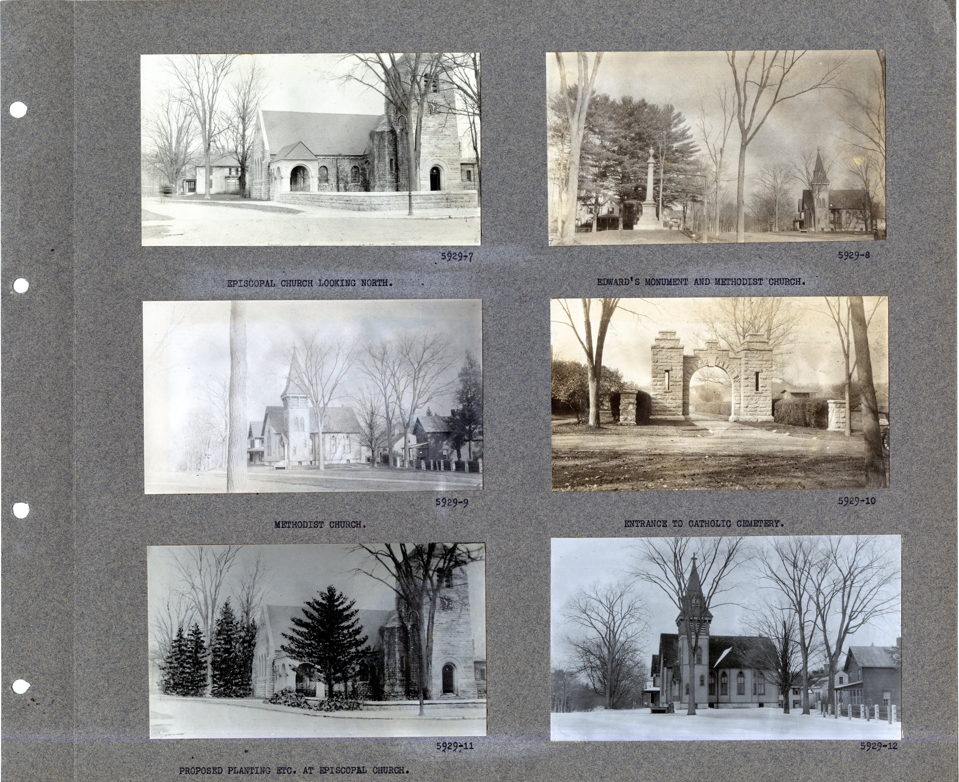
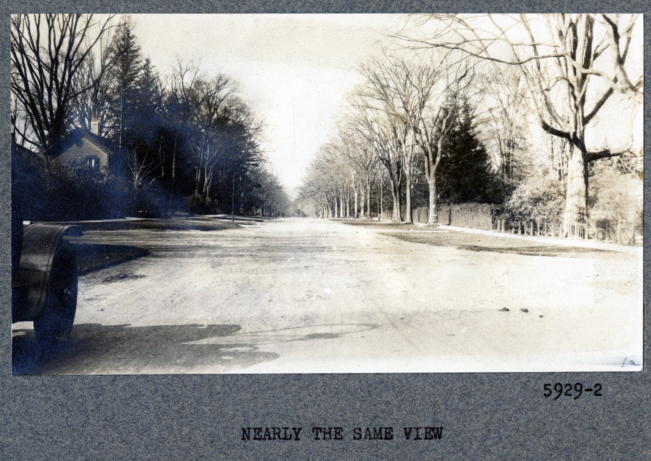
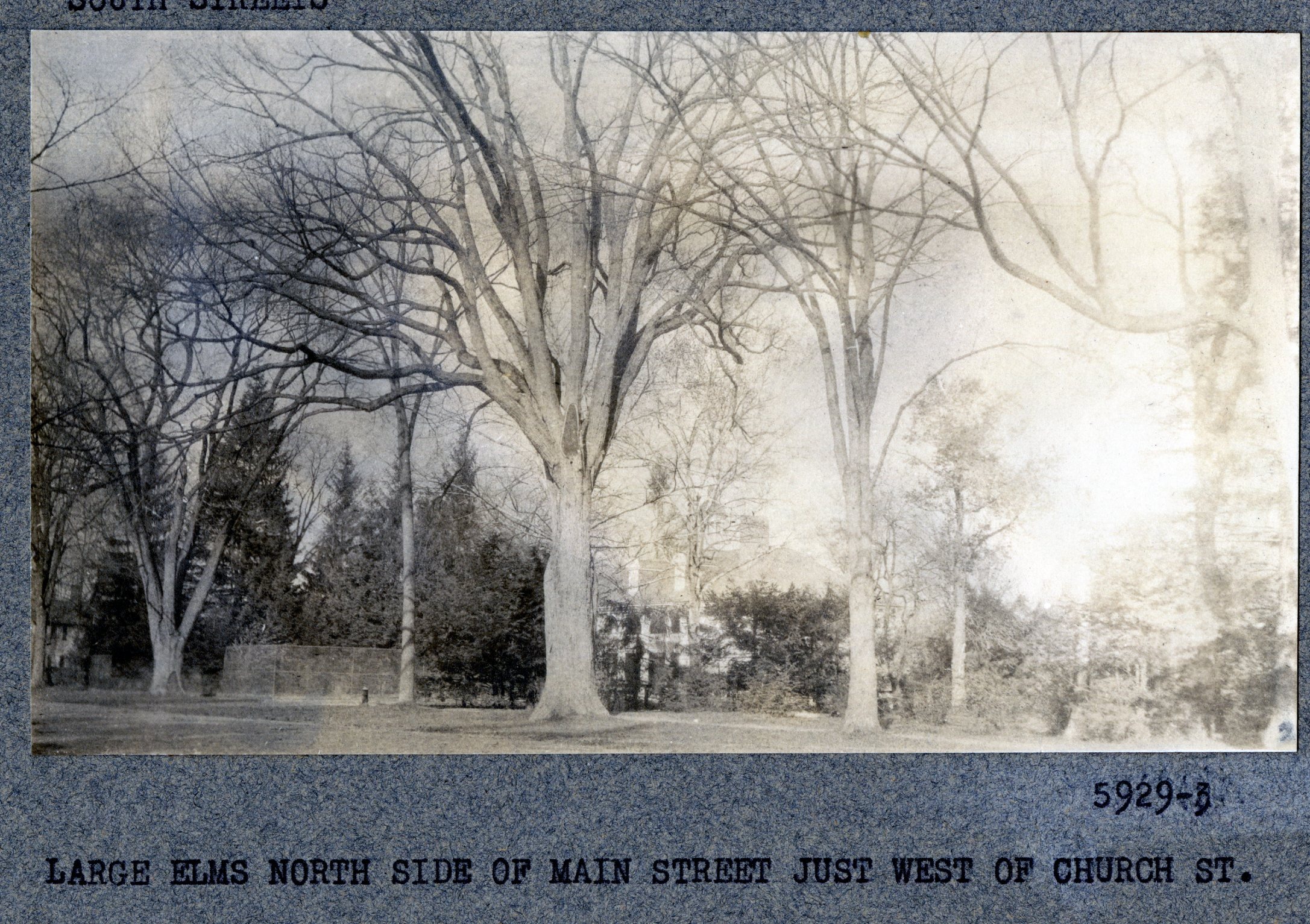
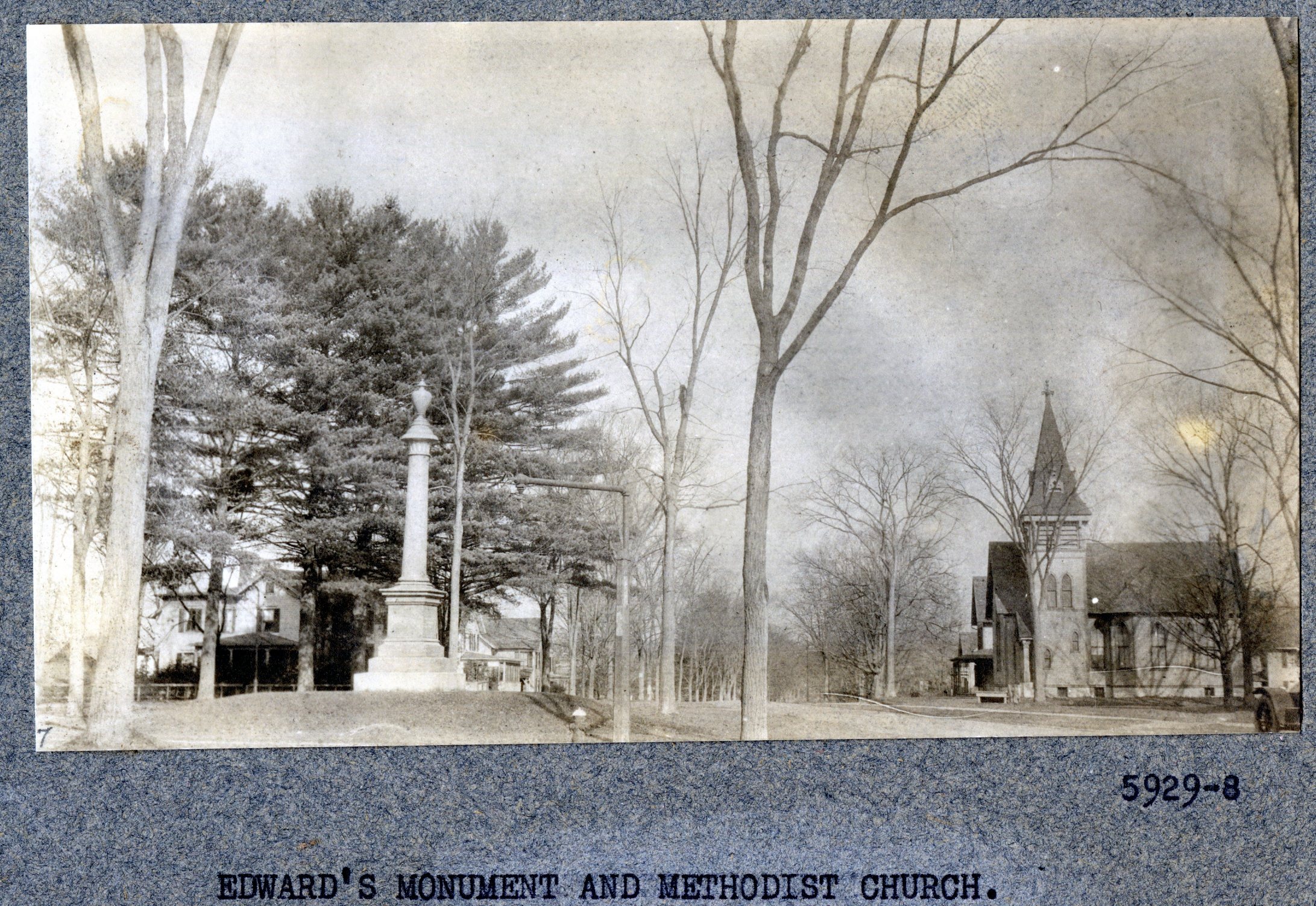
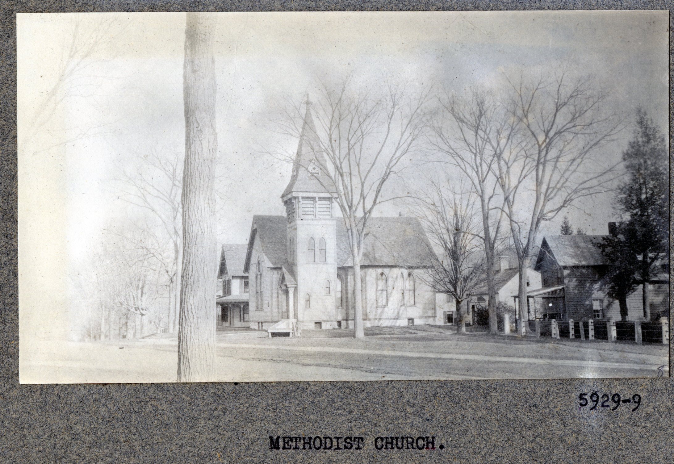
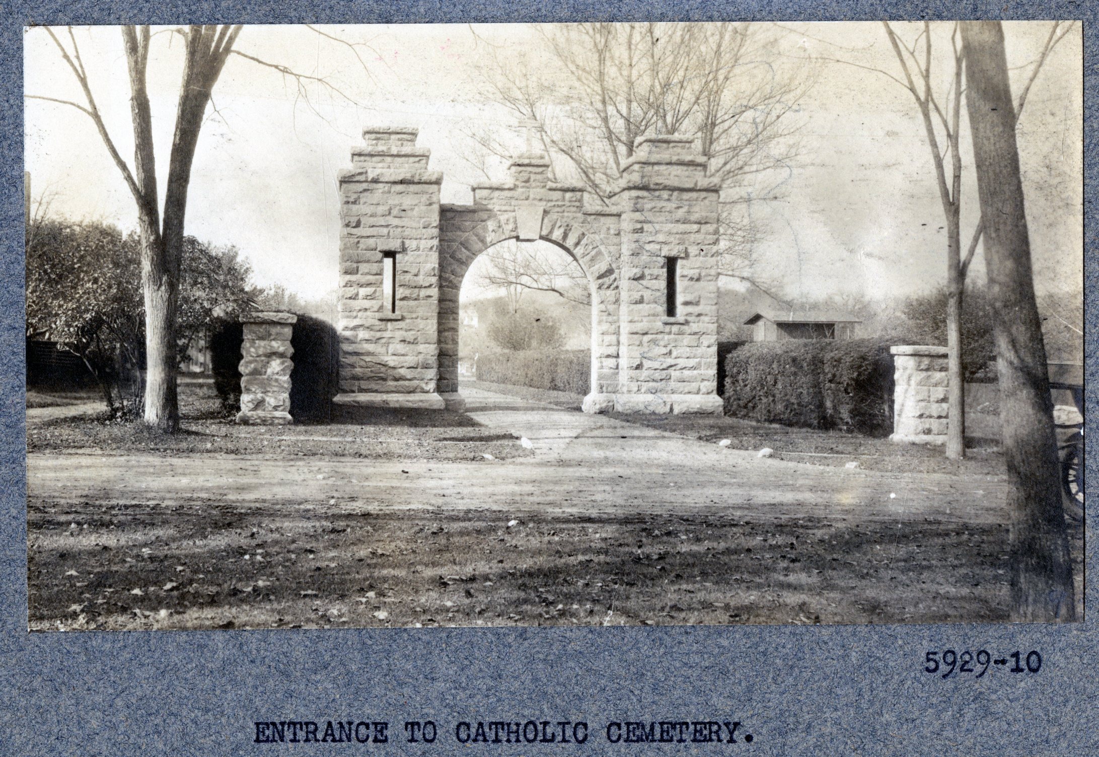
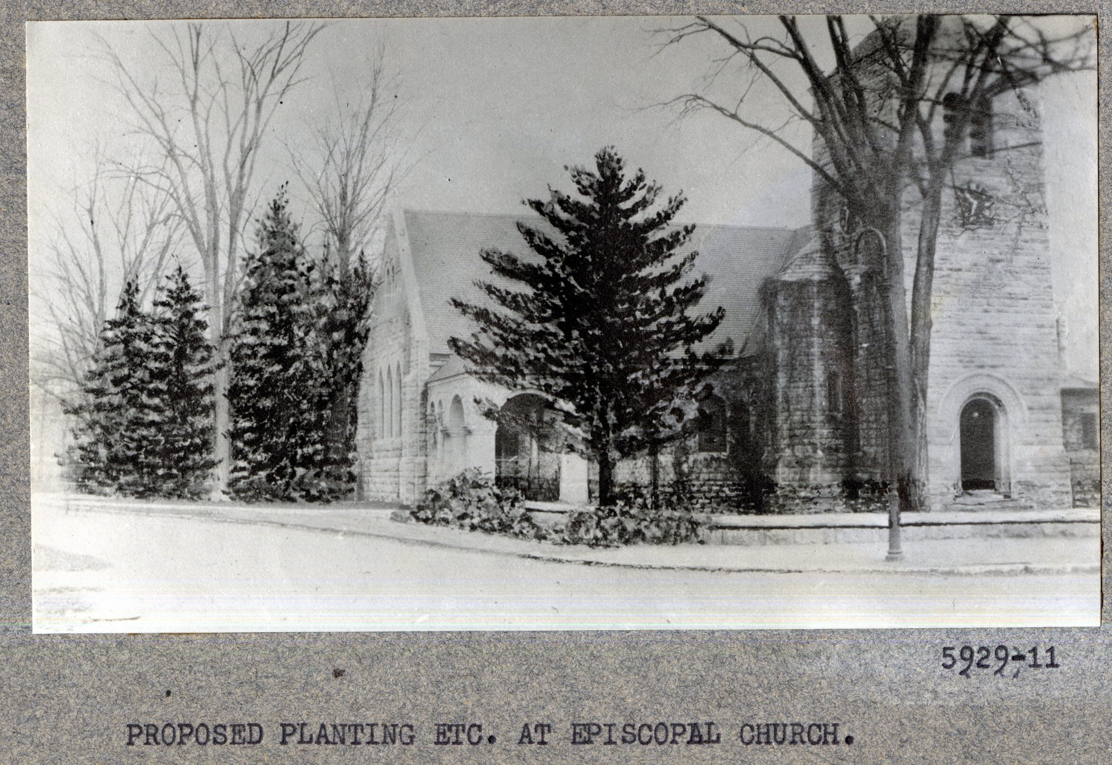
“LOOKING WEST ON MAIN STREET FROM JUNCTION WITH PINE AND SOUTH STREETS” · “NEARLY THE SAME VIEW” · “LARGE ELMS NORTH SIDE OF MAIN STREET JUST WEST OF CHURCH ST.” · “CHINESE FOUNTAIN AT INTERSECTION SOUTH AND WEST STREETS.” · “SOLDIERS’ MONUMENT AND PINE STREET BEHIND IT.” · “EPISCOPAL CHURCH LOOKING NORTH.” · “EPISCOPAL CHURCH LOOKING NORTH.” · “EDWARD’S MONUMENT AND METHODIST CHURCH.” · “METHODIST CHURCH.” · “ENTRANCE TO CATHOLIC CEMETERY.” · “PROPOSED PLANTING ETC. AT EPISCOPAL CHURCH.”
It is a winter survey — snow on the ground in most of the frames, the elms bare, a motor car parked at the edge of the first one. And it does not stop at photographs. Prints 13 and 14 are credited in type “By H. E. Millard”; print 15 is credited “By H.D. Perkins” and is not a photograph at all but a pen-and-ink drawing of the same church, the same angle, with trees drawn in around it and in full leaf. Photograph, photograph, drawing: the album is a before-and-after argument, bound and sent out from the office library with a label asking for it back.
VI. The same ground, photographed first
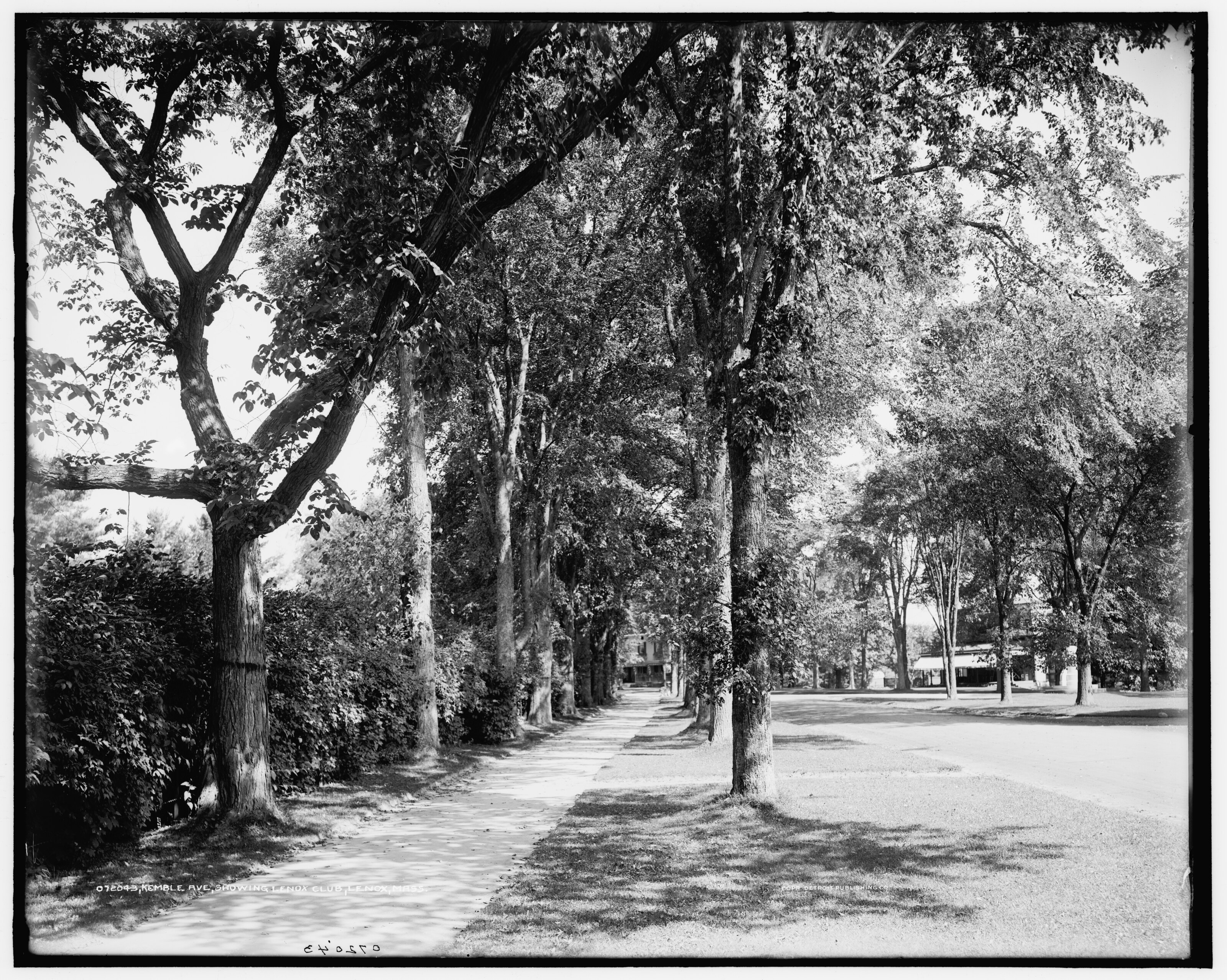
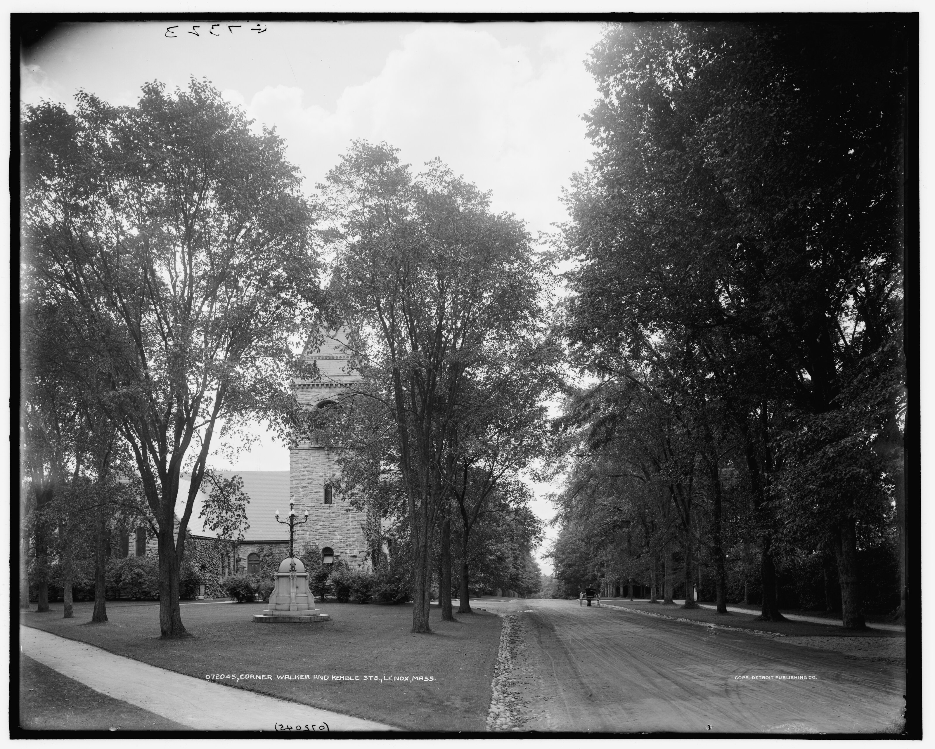
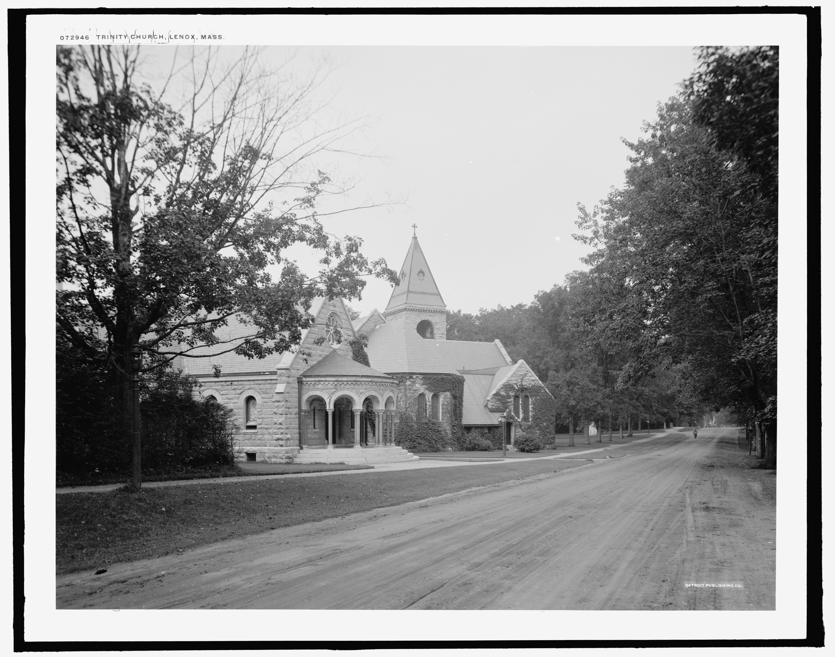
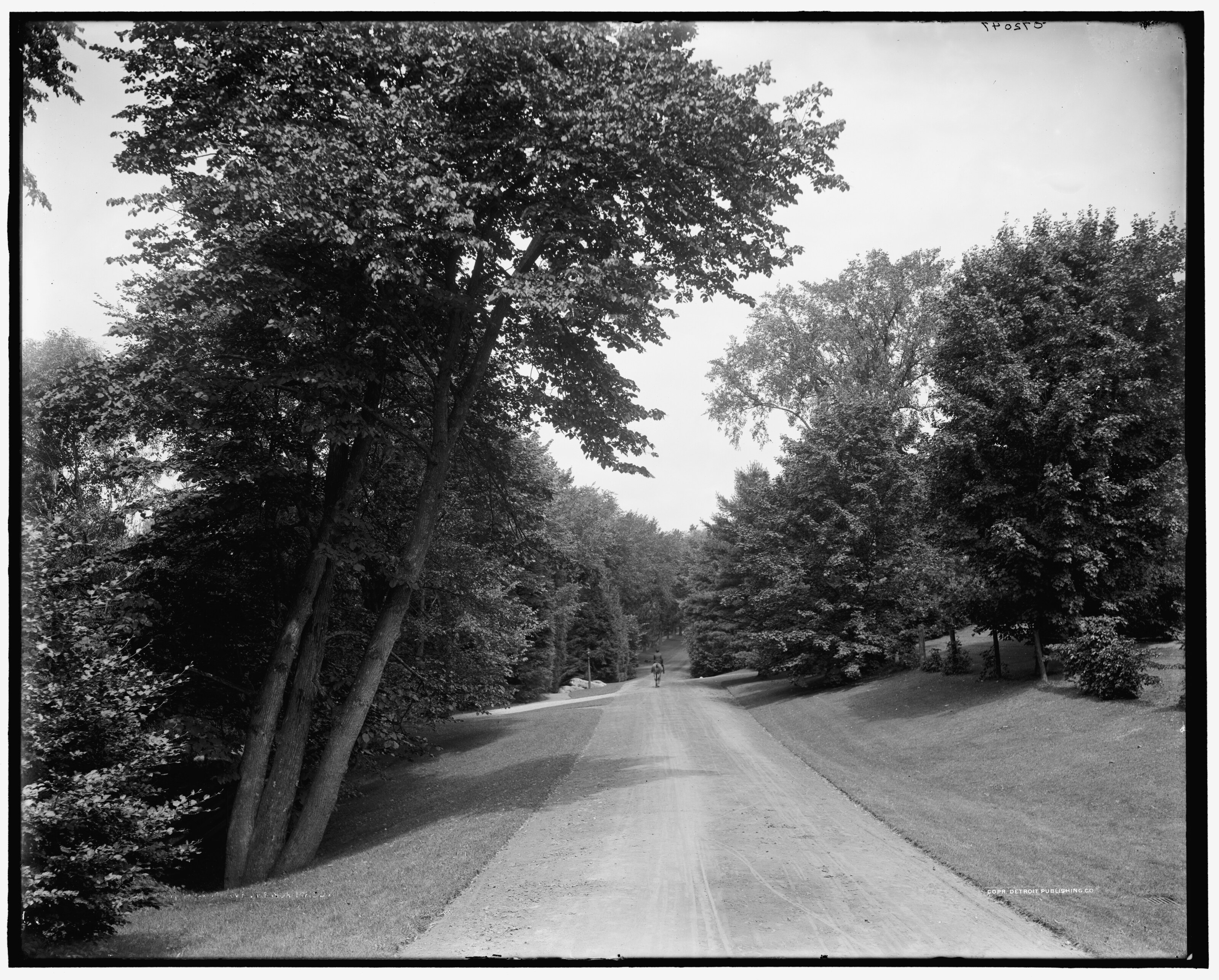
Neither file contains a photograph of Lenox. But somebody else was there, and the Library of Congress has the plates.
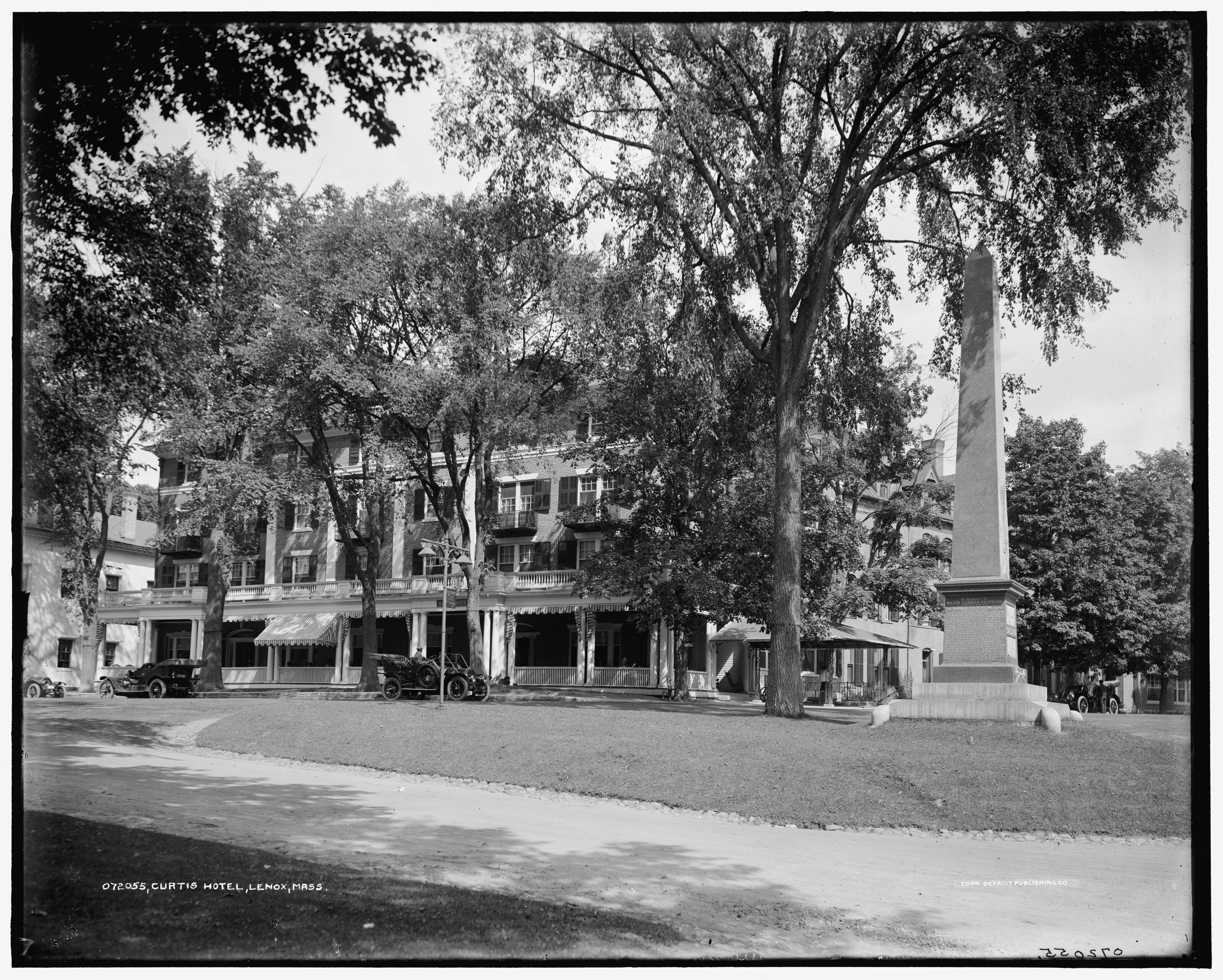
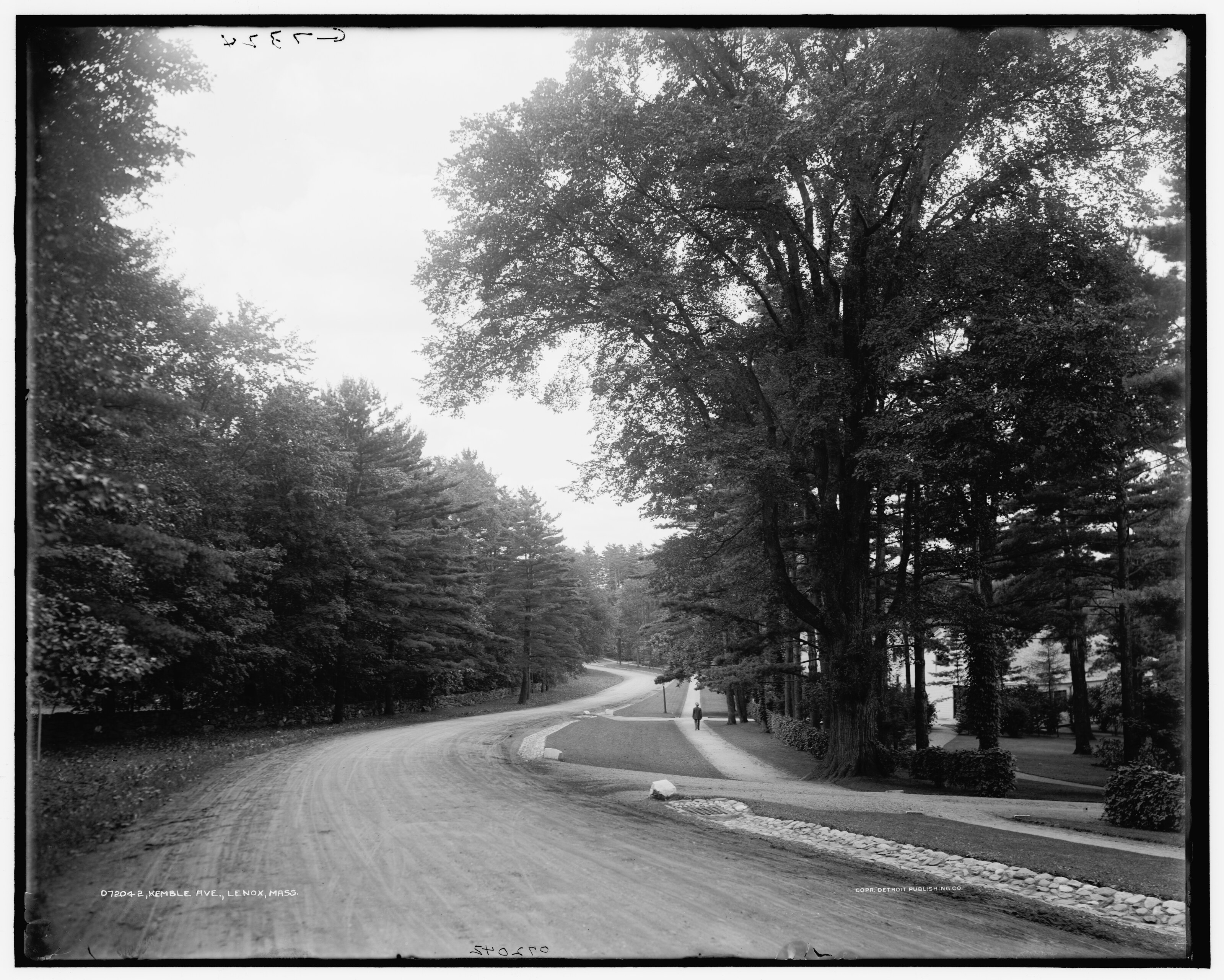
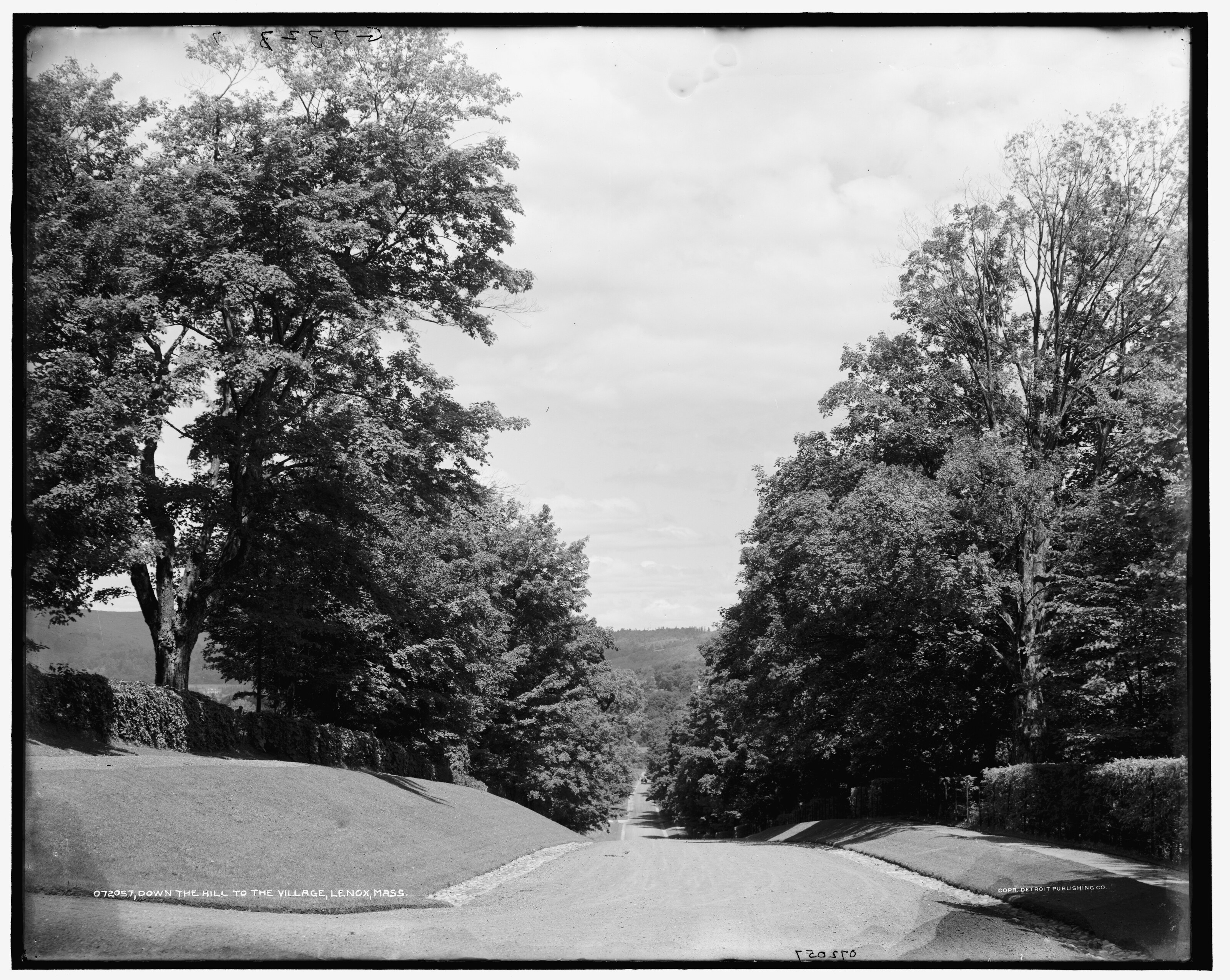
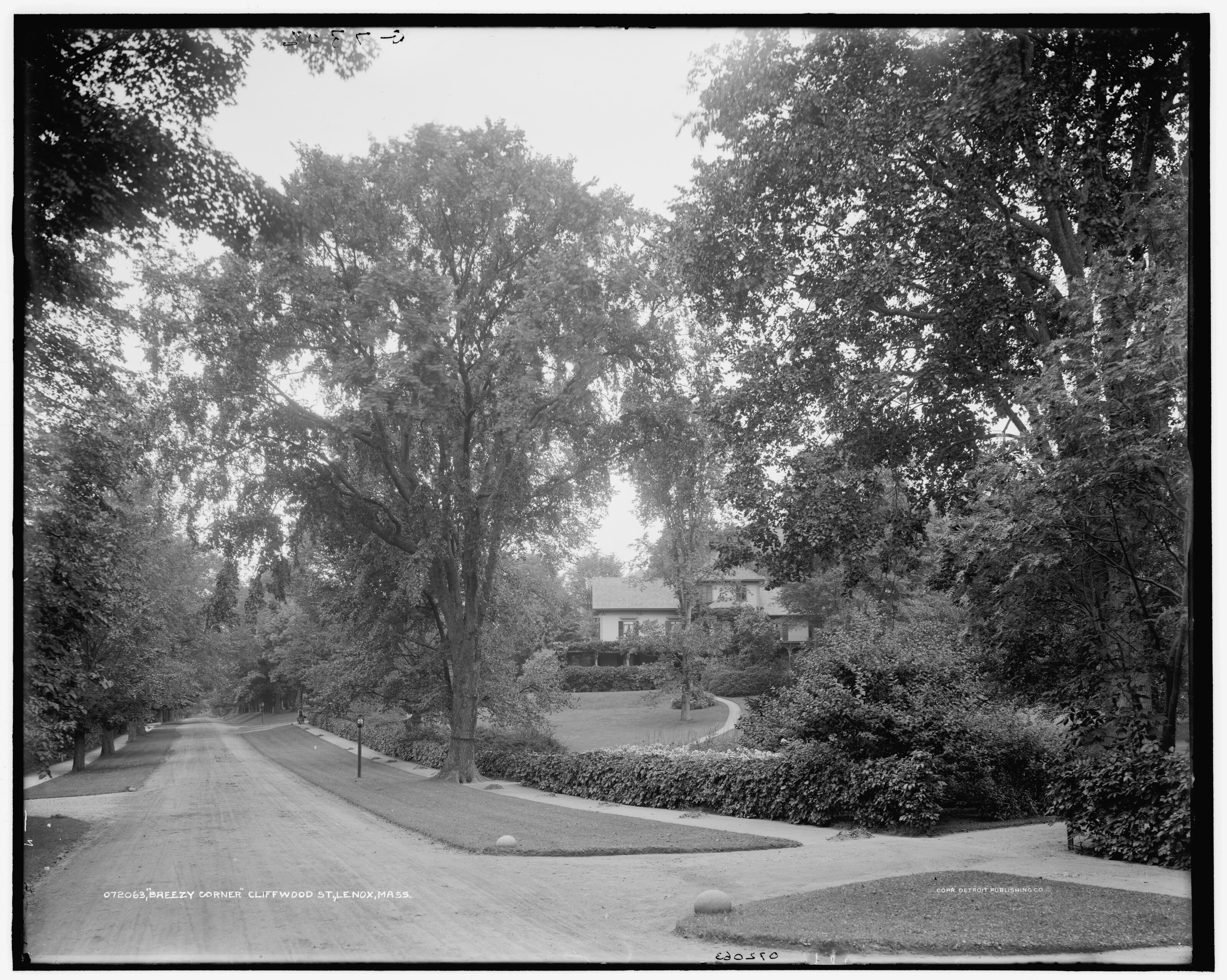
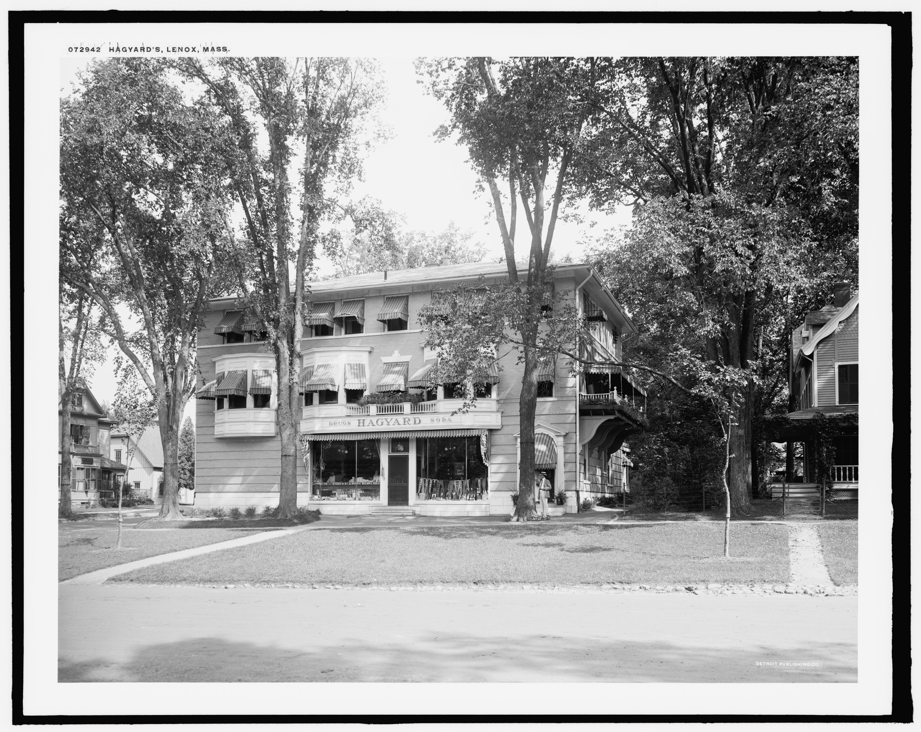
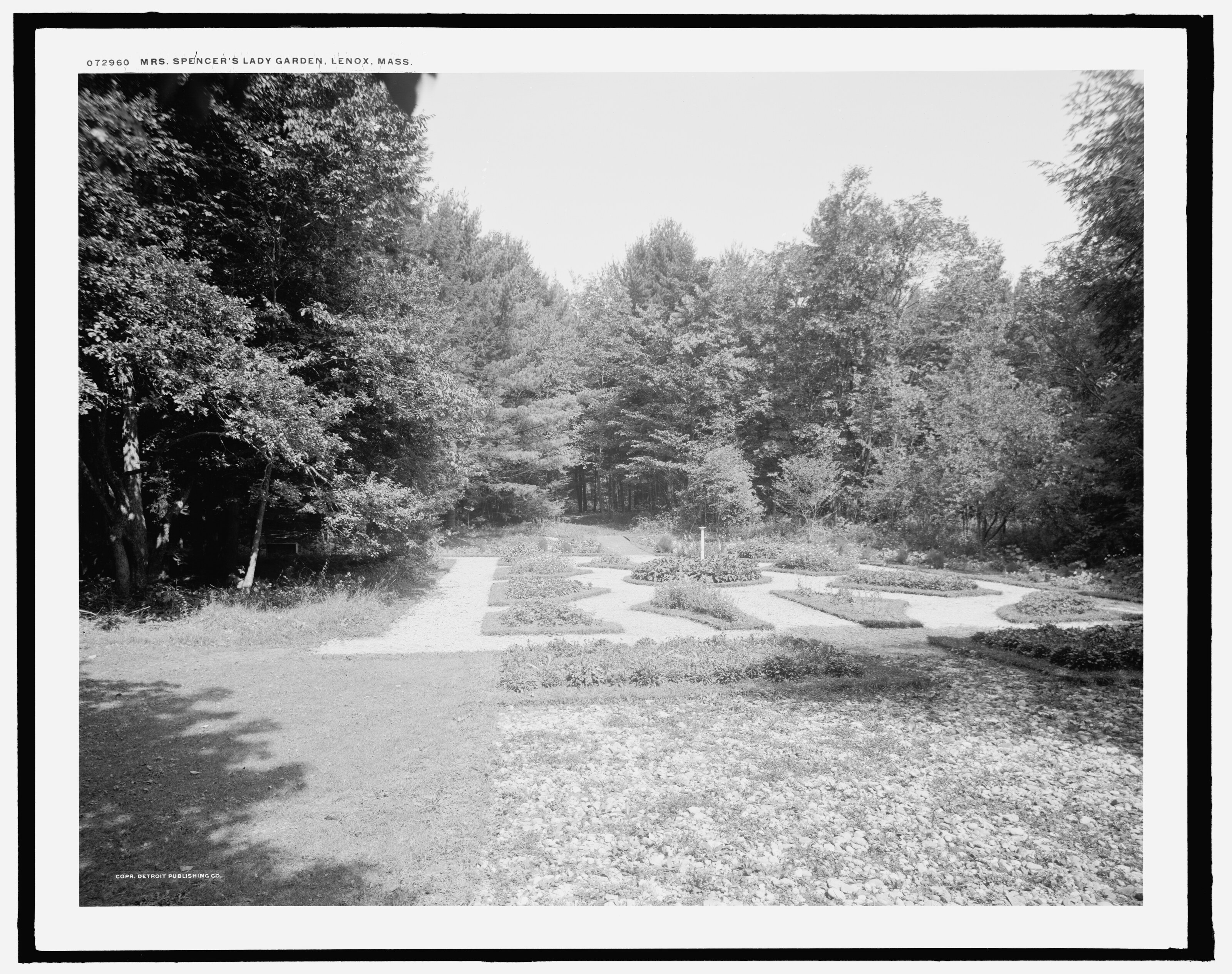
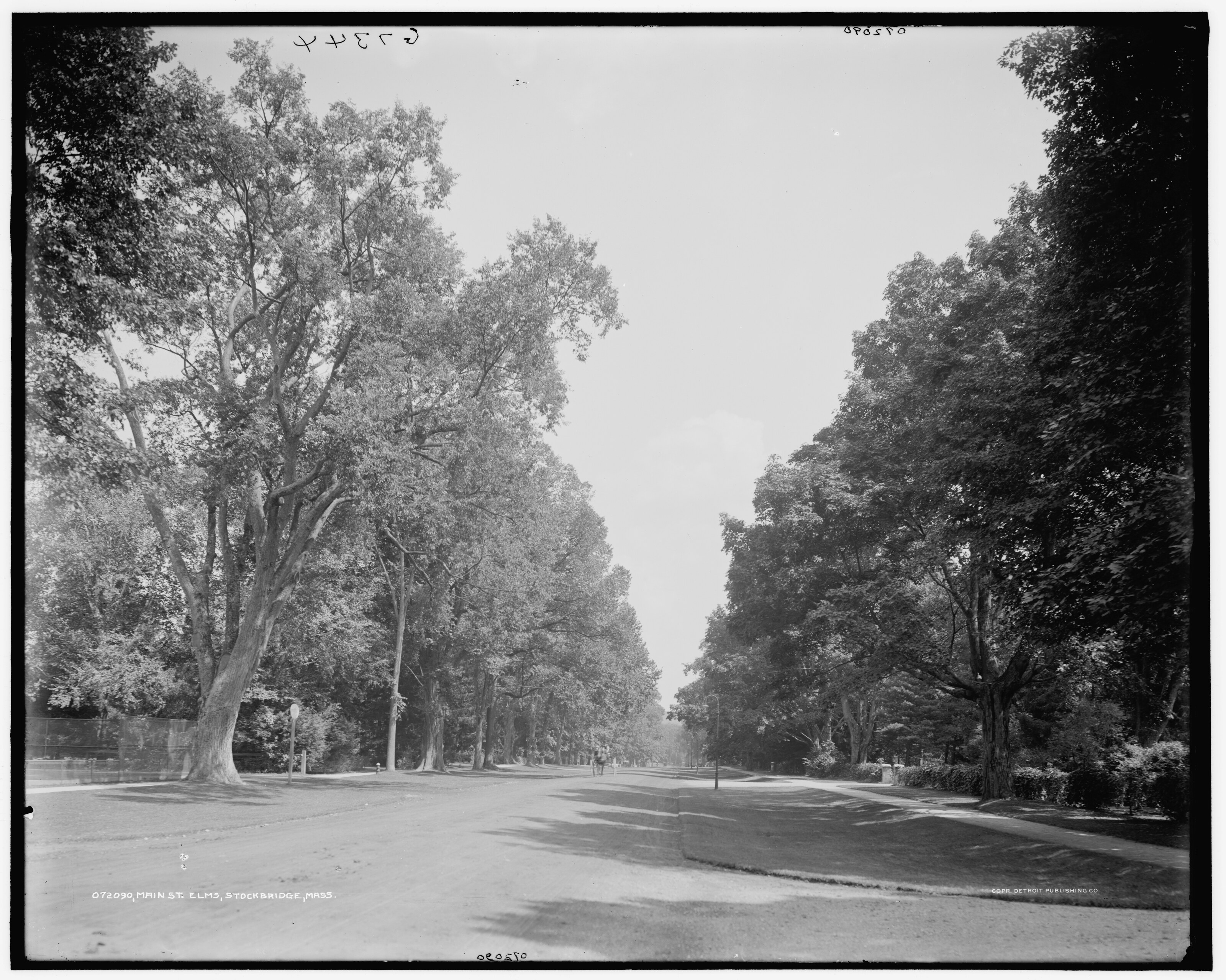
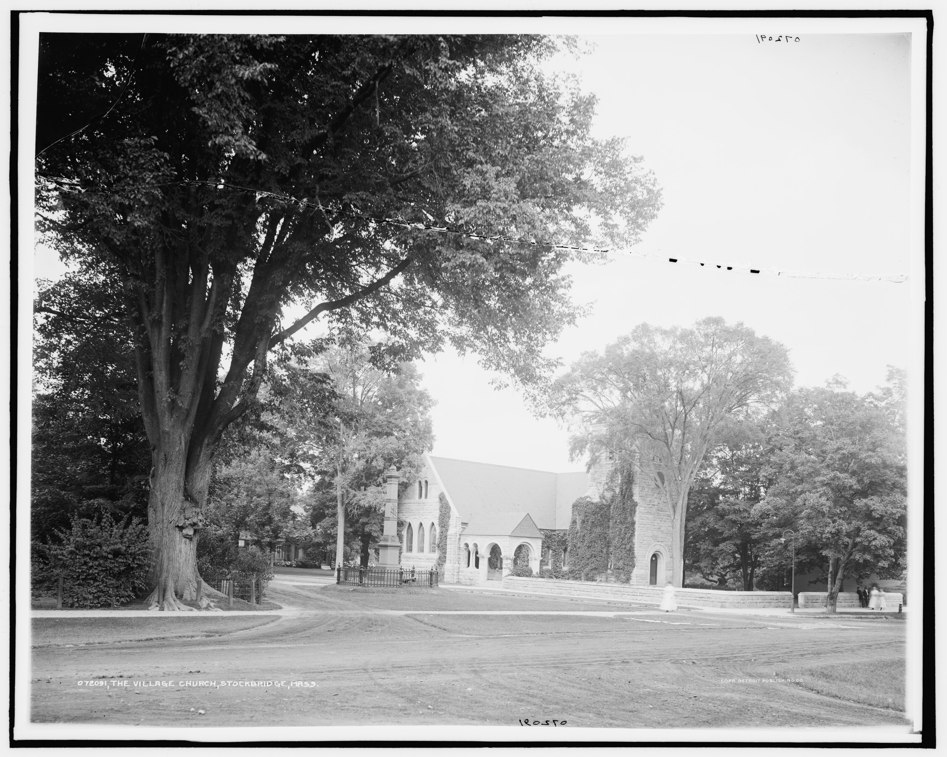
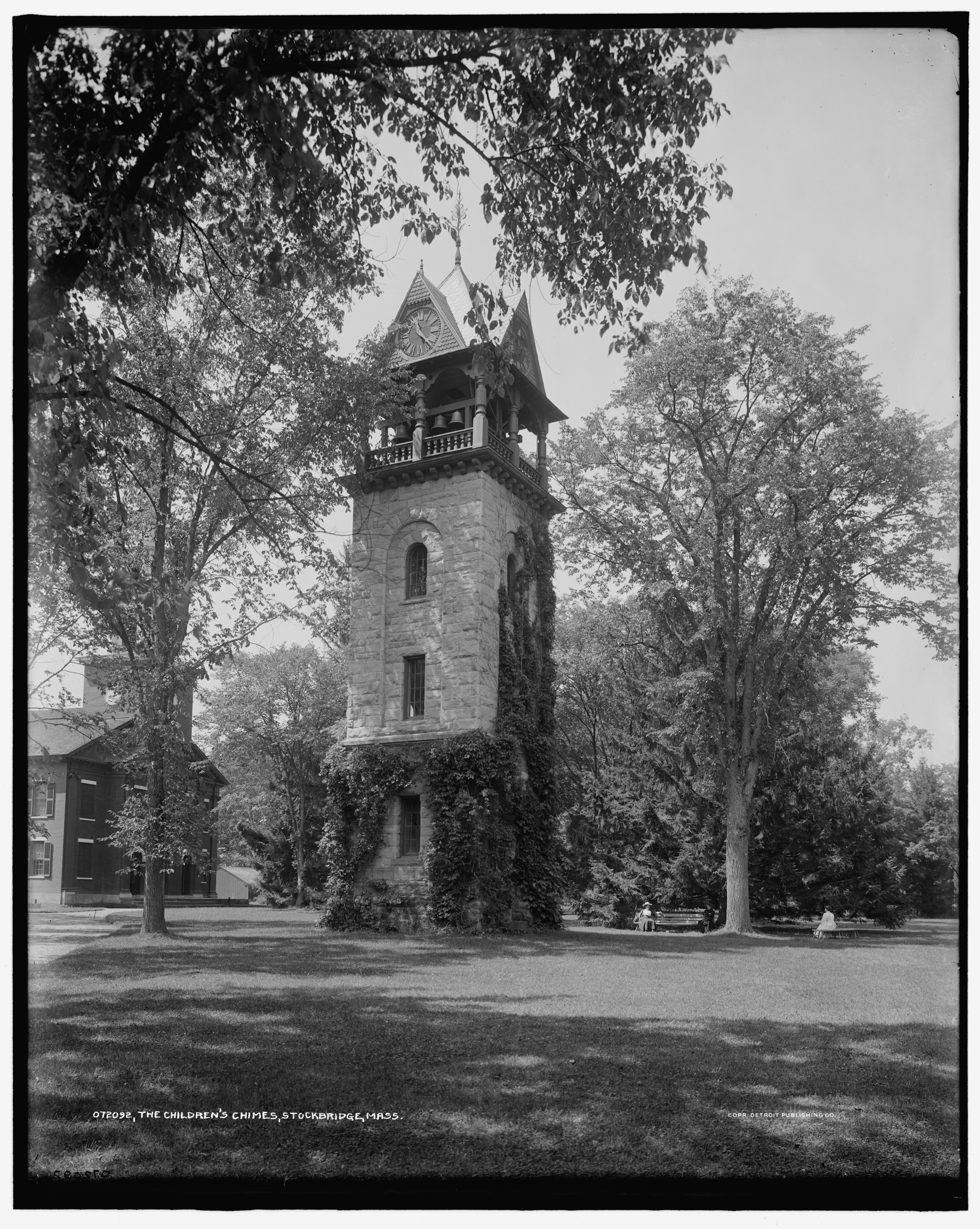
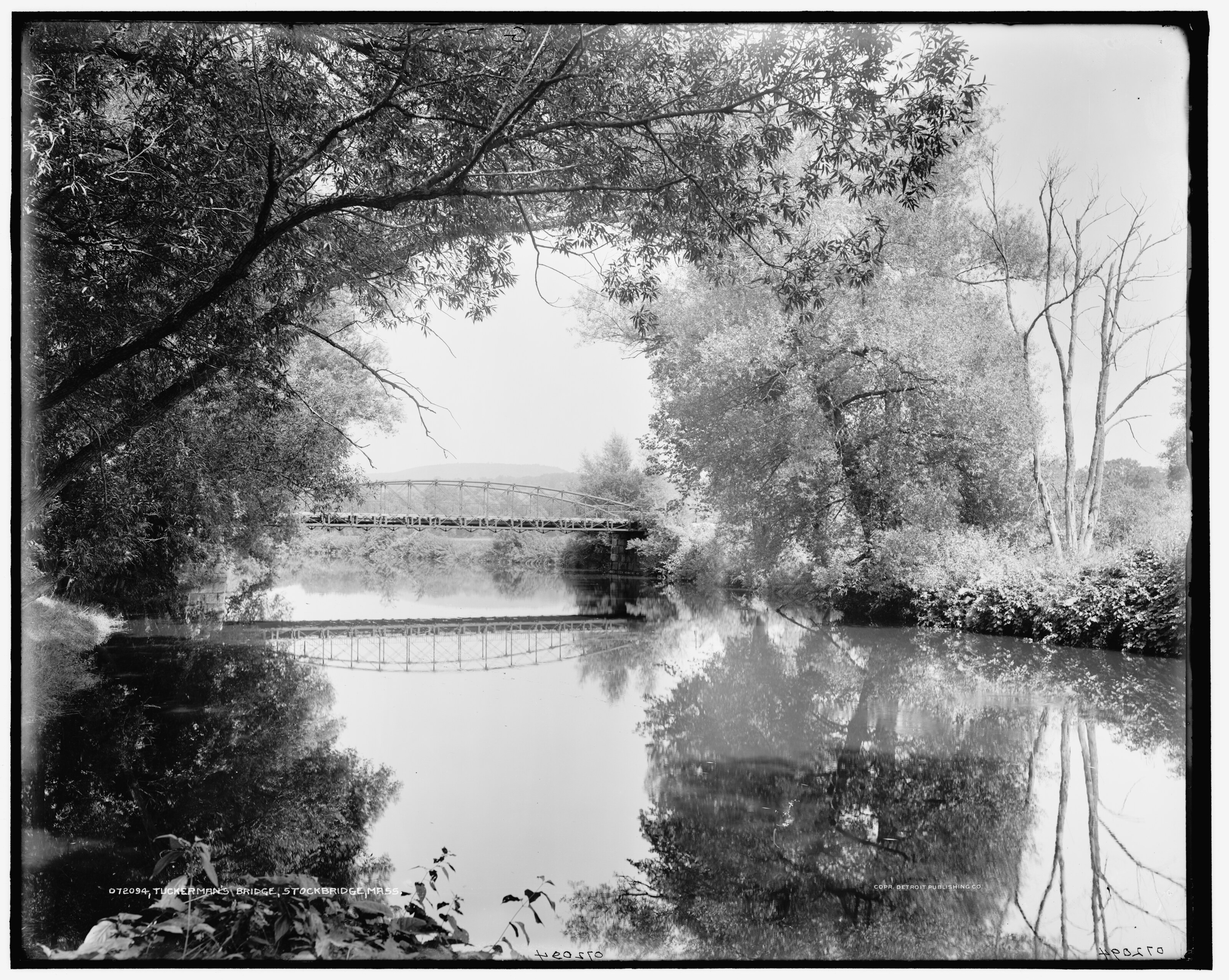
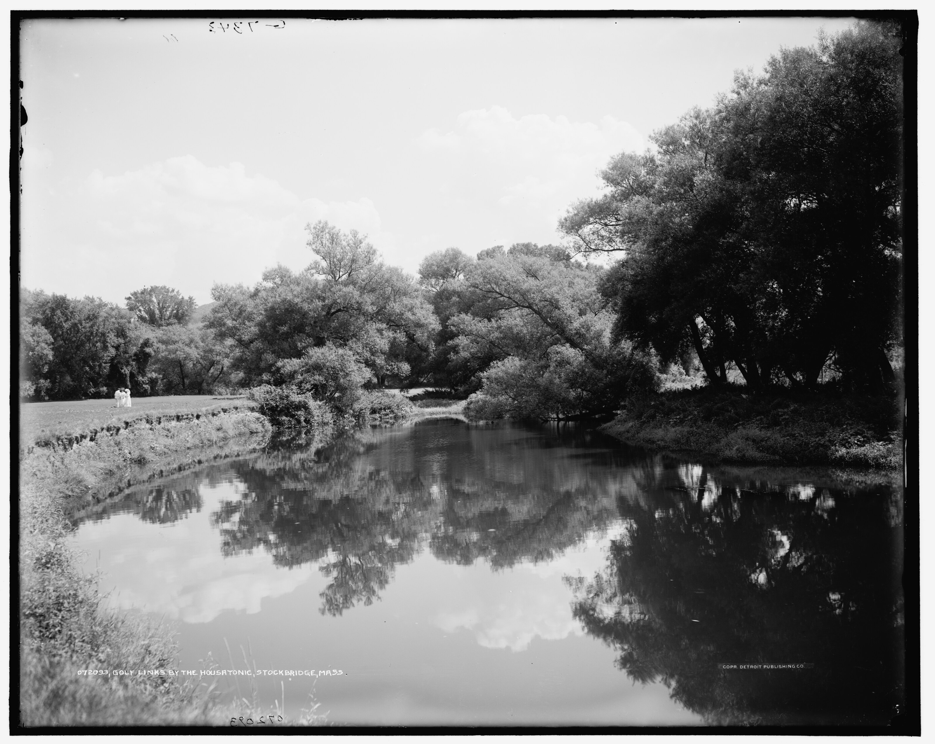
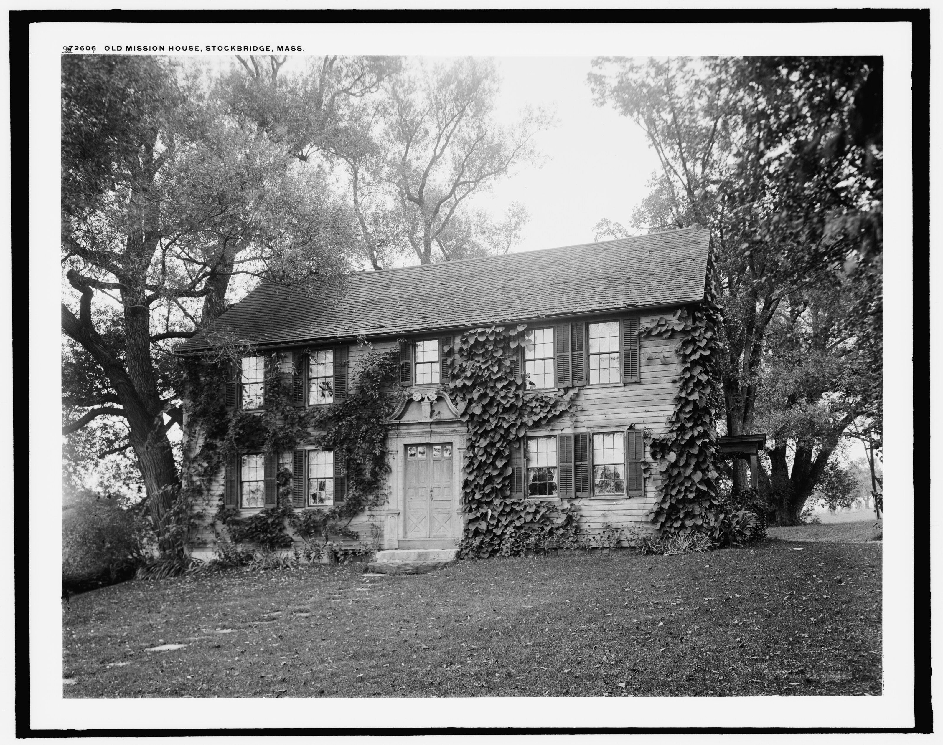
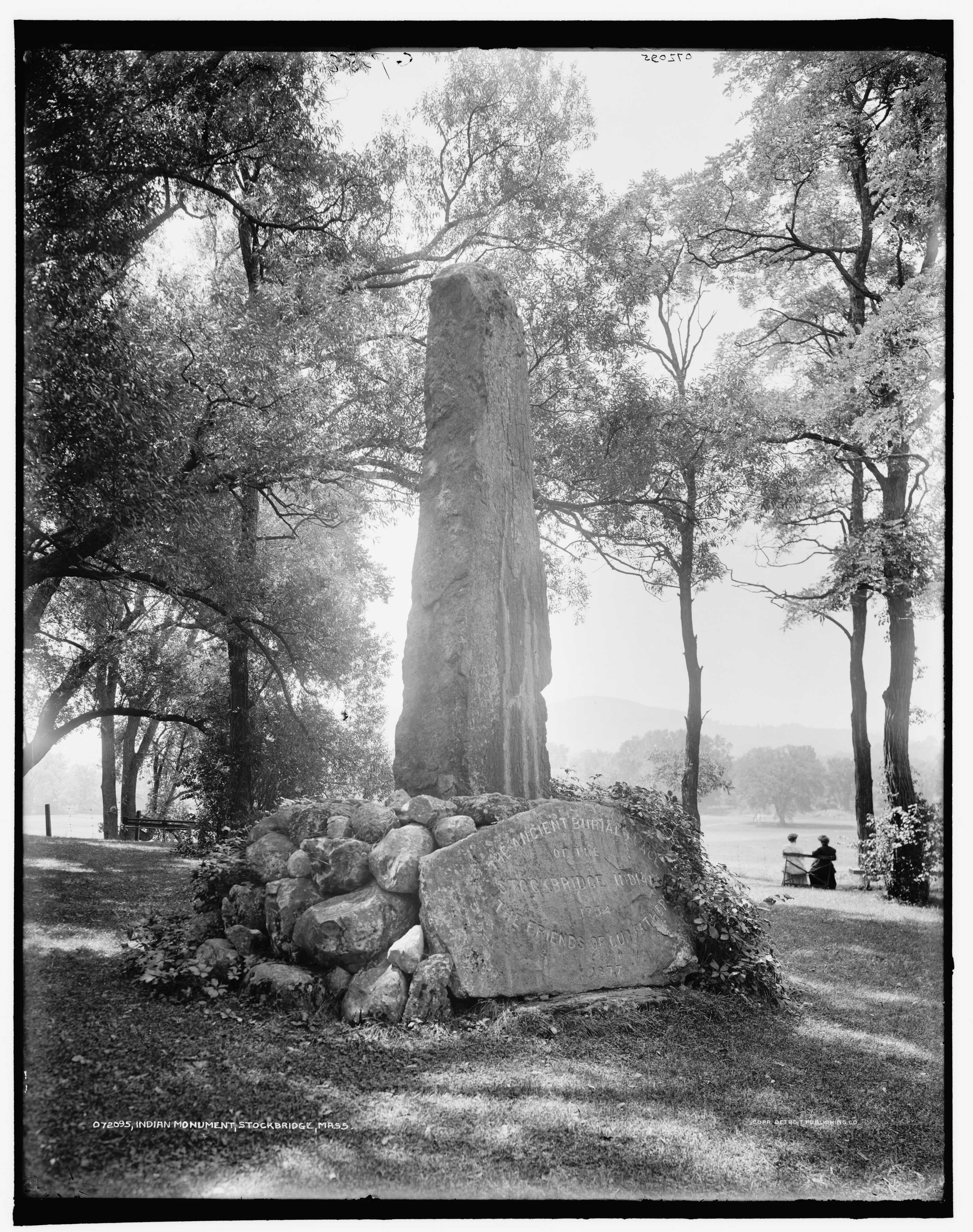
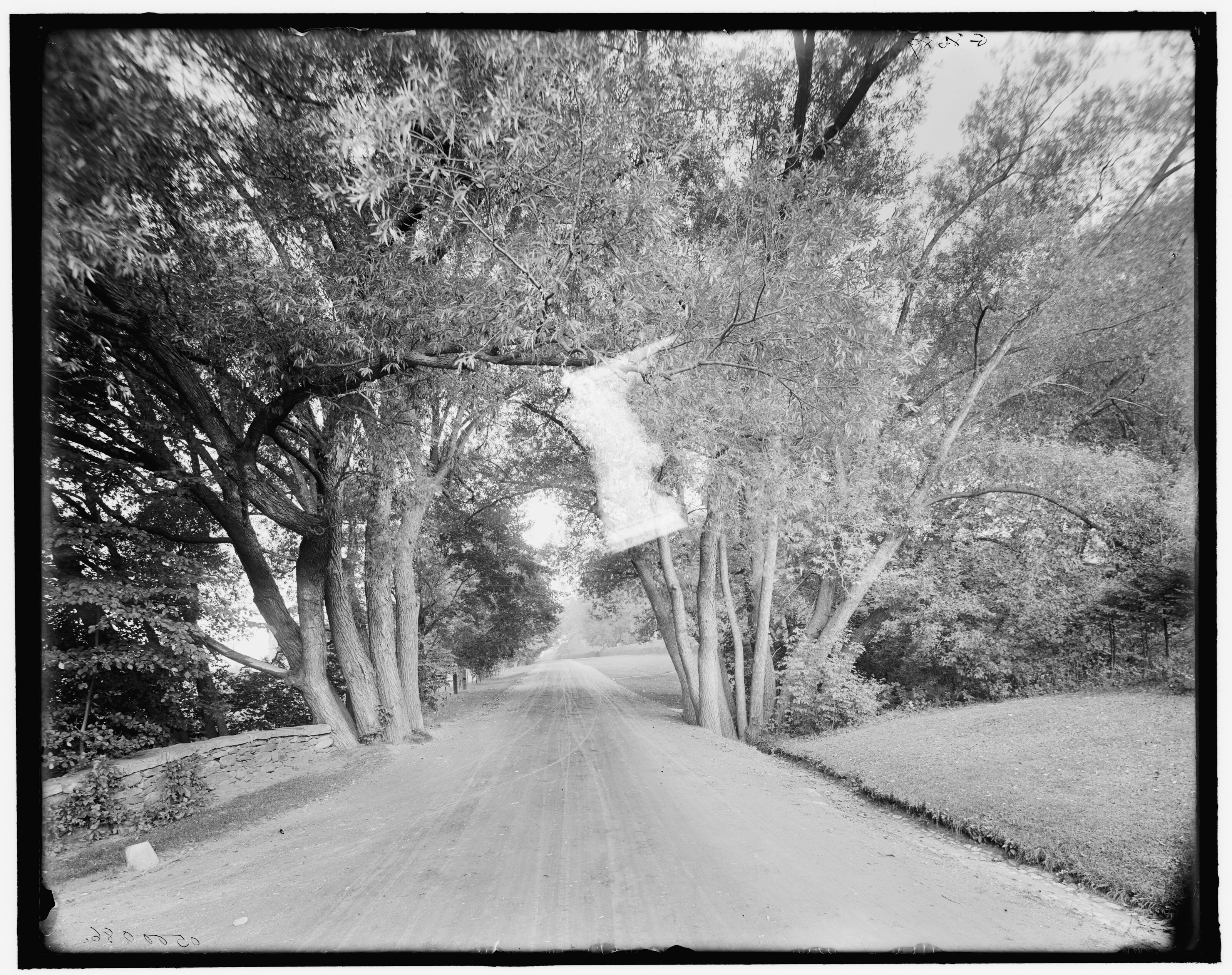
In 1905 a Detroit Publishing Company photographer worked through Lenox village in one campaign — the negatives run 072042 to 072068 with almost nothing missing — and then through Stockbridge, 072090 to 072096. Eight years before the Village Improvement Society sent its first sheet to Brookline, the ground the small park was to be made on had been photographed from both ends.
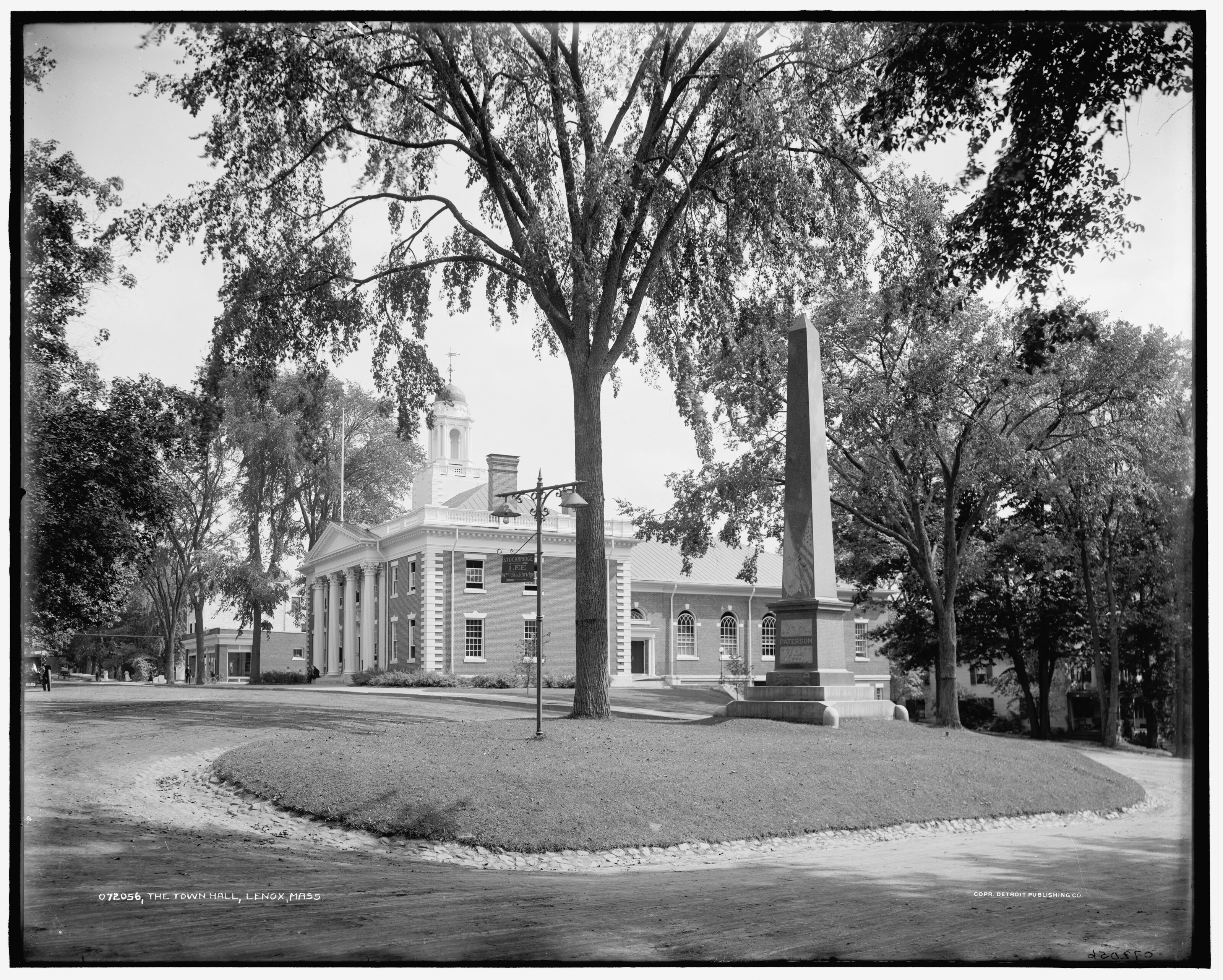
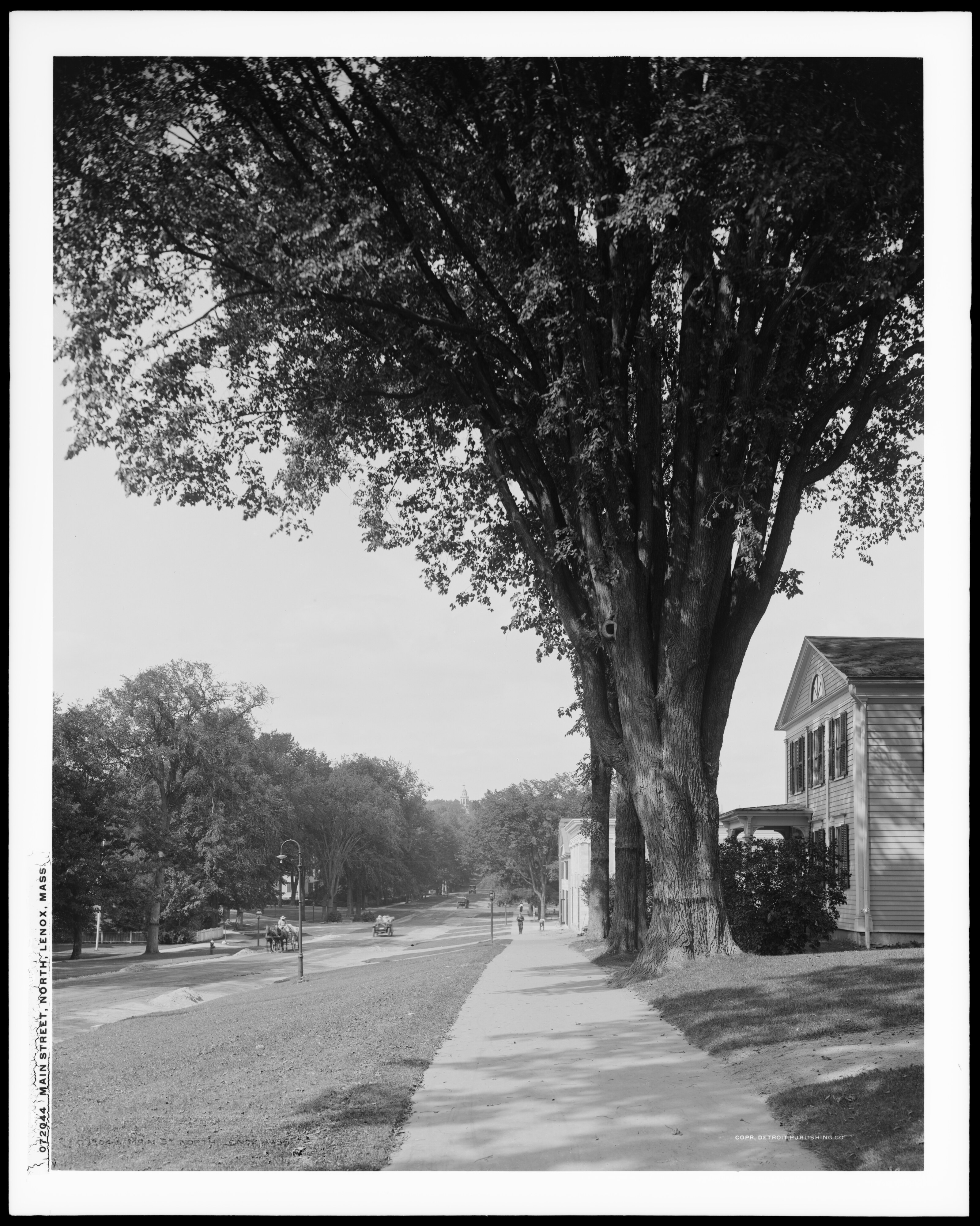
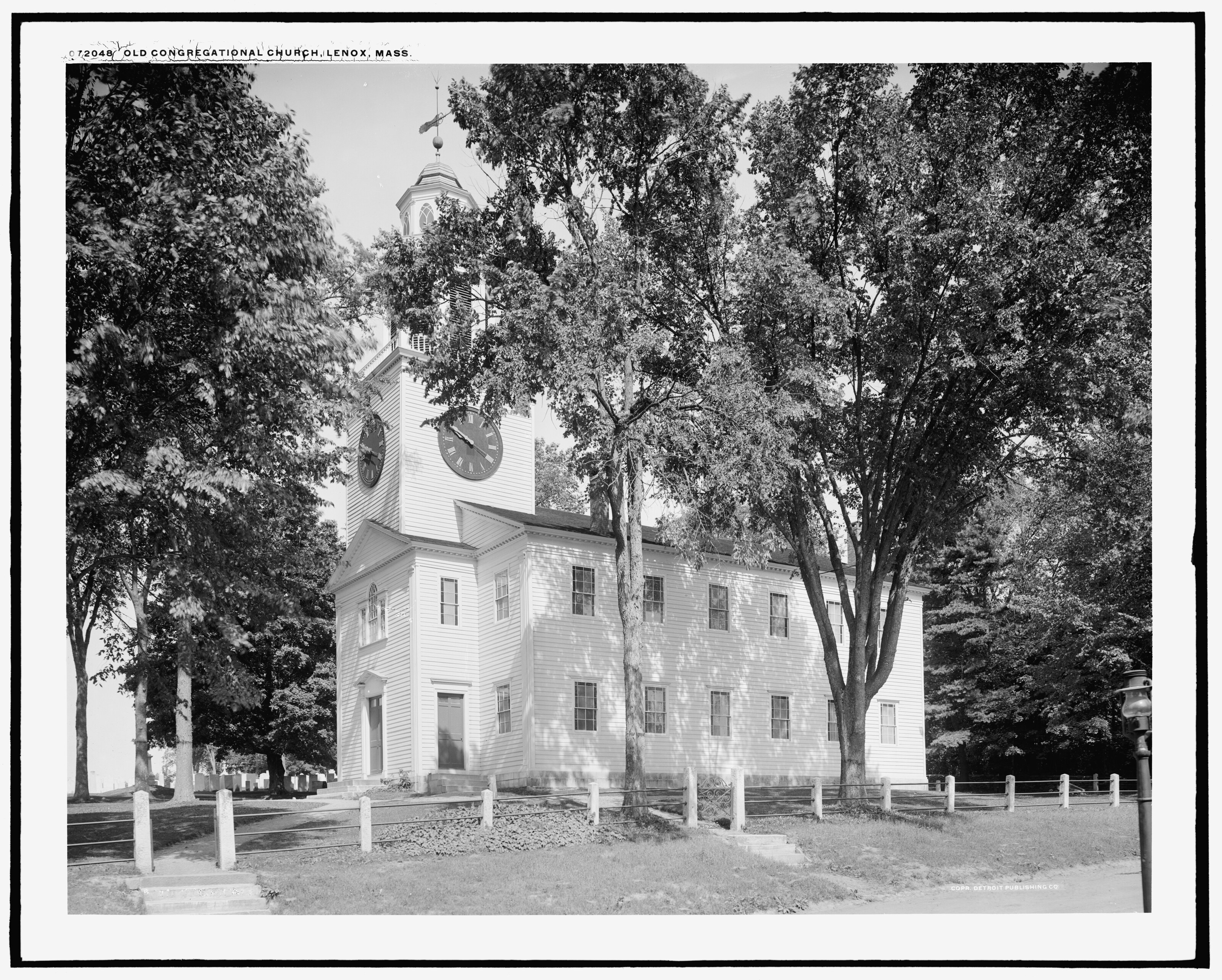
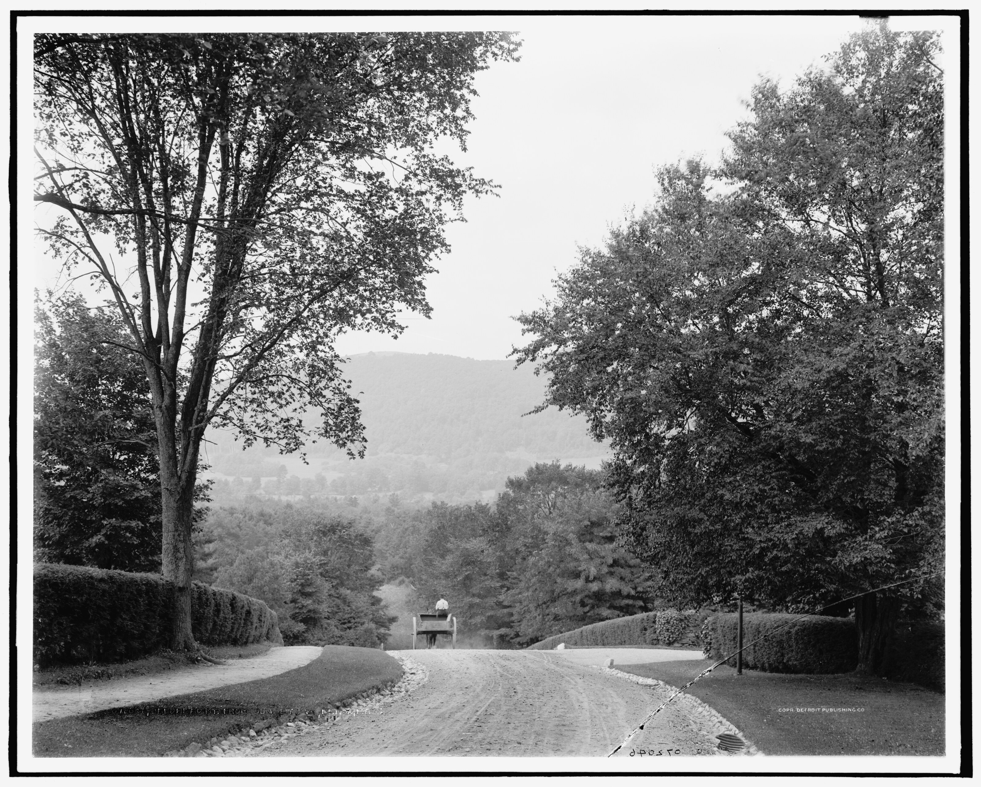
Plan 10 puts the park between Main Street along the bottom of the sheet and Sunset Avenue down the left, with a Congregational chapel at the right-hand edge. Every one of those is in the 1905 run: Main Street looking north (072044, the plate the Library found cracked), Sunset Avenue looking out at Baldhead (072046), the Old Congregational Church (072048). The Curtis Hotel and the Town Hall both carry the John Paterson memorial in frame, from either side. This is the block, before.
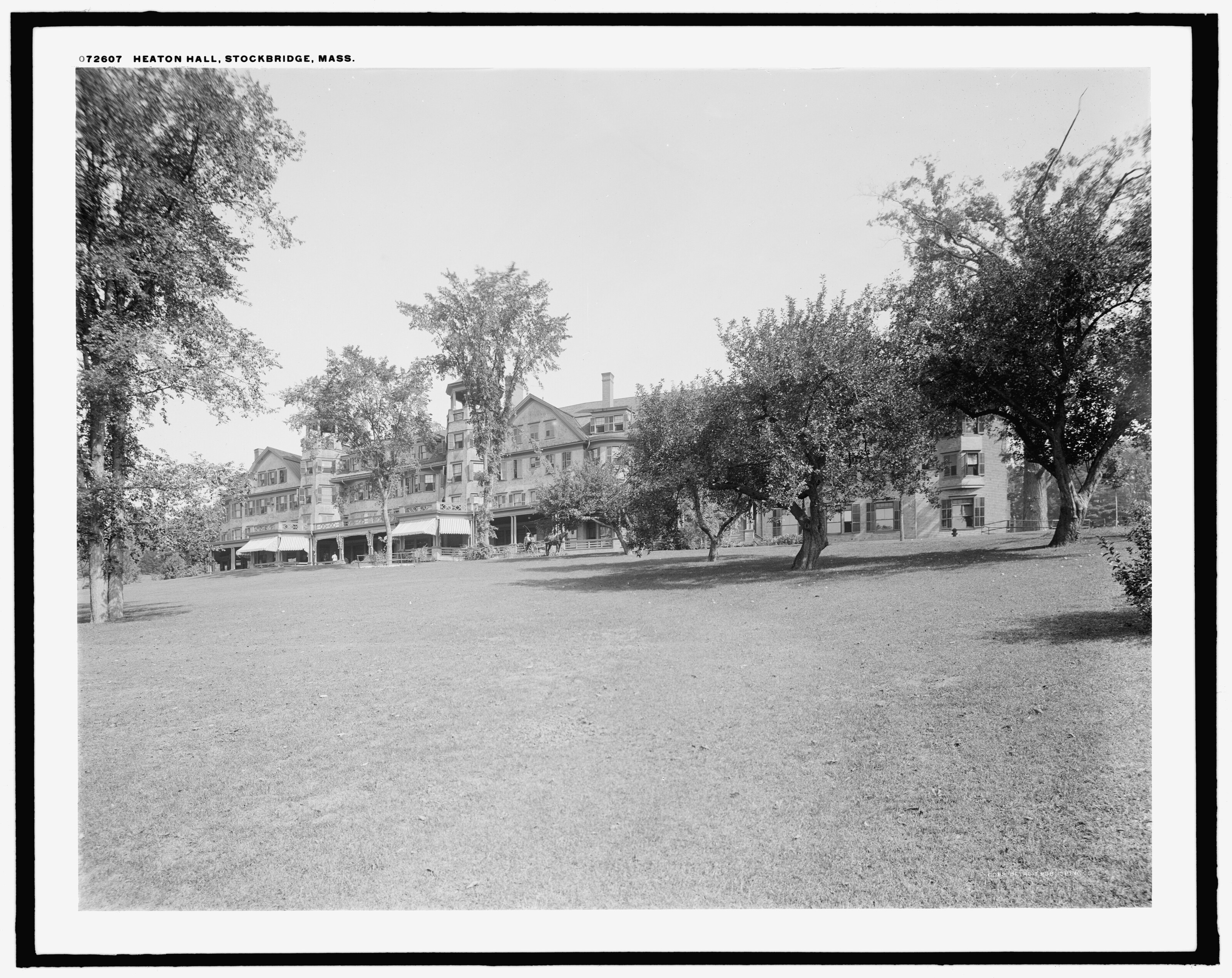
The Stockbridge pairing is better still. The office kept, in job 05929, a tourist road map “printed with the compliments of the Red Lion Inn and Heaton Hall, Allen Treadway, Prop.” — a piece of hotel advertising filed among the survey sheets. Detroit photographed both hotels.
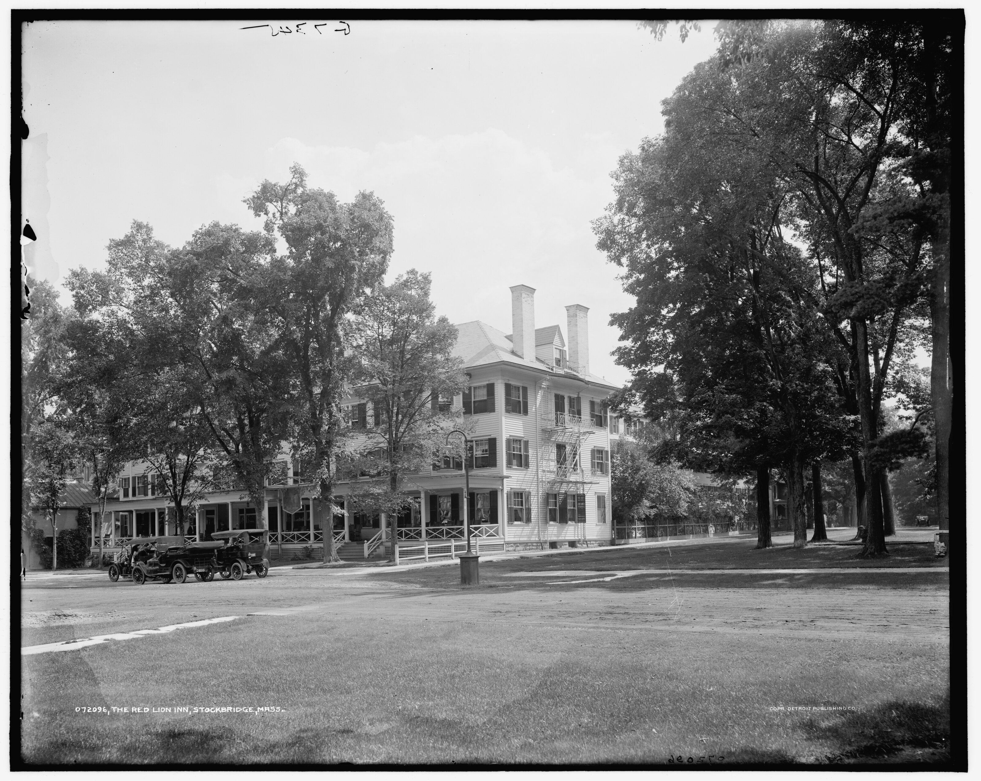
And where the Stockbridge album is a winter survey — snow on the ground, the elms bare, a motor car at the edge of the frame — the Detroit run is high summer on the same street: Main St., elms, the village church, the Children’s Chimes. Two photographic surveys of one village, eight years and one season apart, made for entirely different reasons, and neither one aware of the other.
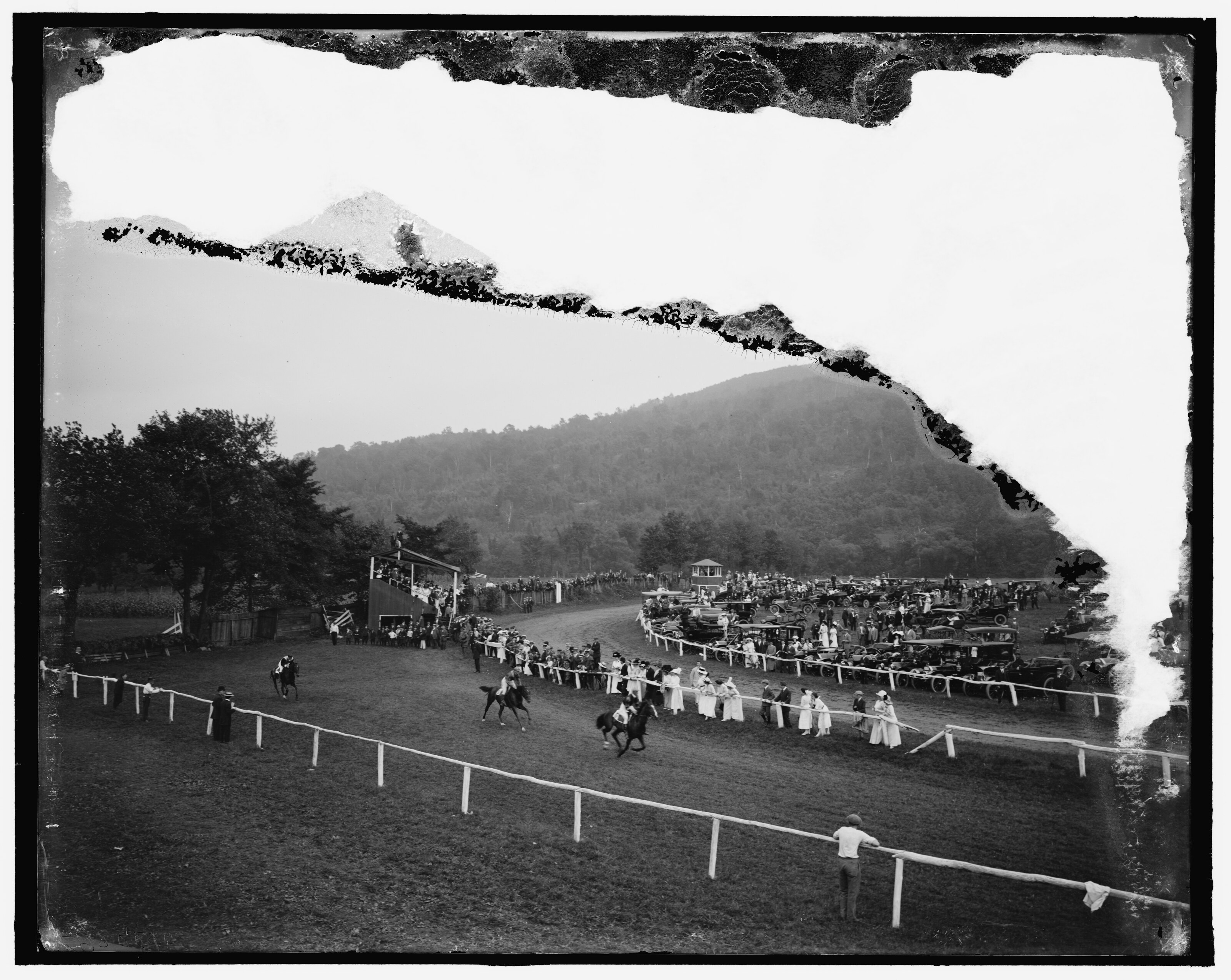
A last one, off the subject and worth keeping anyway. Negative 500667 is titled from its jacket “Ninth annual race meeting, the Berkshire Hunt, Lenox, Mass.” It shows a grass course, a rail fence, a judges’ box, a crowd strung along the rail — and behind them a line of carriages with a row of early motor cars parked in among them. The coachmen’s story argues that one of those two things replaced the other inside one working life. Here they are in the same field.
VII. What the two files have in common
Neither job is about a house. Both are about the part of a Berkshire town that everybody crosses: a lot on Main Street, the ground you stand on when you get off the train. Both are paid for by voluntary societies rather than by the town — one of them sixty years old when it hired the firm, the other named for the work itself. Both arrive at Brookline carrying other people’s surveys, handed over by a named resident. And both are approved by Percival Gallagher — born 1874, trained at the Bussey Institution, in the office from 1894 and a partner from 1927 — whose initials are also on the Stockbridge schemes and the Lenox cross sections within three years of each other.
And both files end the same way: not with a photograph of the finished thing, but with a print issued from the office and a note in a later hand. On two of the Stockbridge sheets somebody has written “Close to present existing conditions. JNP” — which is as close as this archive comes to saying that a drawing was built.
Sources
Olmsted Archives, Frederick Law Olmsted National Historic Site, National Park Service: job 05935, twenty-one plans, and job 05929, fourteen plans and an office photograph album, with titles, dates, sheet sizes and inventory notes as recorded at olmstedonline.org; scans from the Olmsted Archives on Flickr. Titles, inventory notes and the album’s typed captions are quoted as they stand, including the archive’s spellings — LAURAL HILL, SUPPLIMENTRY, INCORRECT OUTLINE, and Clifford for the street that appears elsewhere as Cliffwood. The planting list of plan 10 is transcribed from the sheet itself. Massachusetts Prohibited Plant List, Department of Agricultural Resources, for the current listings of Lonicera × bella, Berberis vulgaris and Rosa multiflora; the comparison with the Wheatleigh schedule is on the Seven banned plants page of this site. Laurel Hill Association, “Railroad Station Park,” for the purchase from Amelia Ashburner on 15 December 1882 for $370, the 1.7 acres between the station property and the river, the division by Depot Road and the 2008 survey of the bounds. Wikipedia, “Laurel Hill Association,” for the founding in 1853 at Stockbridge, the claim to be the oldest village beautification society in the United States, and the 1880s work on weeds, sidewalks, lamps, trees and the library. The Berkshire Edge, “Connections: The Hoffmann’s of Stockbridge (Part Two — Bernard),” for Bernhard Hoffmann’s honorary membership of the American Institute of Architects in 1923 at forty-nine, his Cornell education, his 1903 marriage to Irene Botsford, his work for the Laurel Hill Association and the library, his hiring of Olmsted for his own garden, and his part in the architecture of Santa Barbara — the quoted sentence is theirs. George W. Folsom’s Lenox place is identified from the Lenox Library Association’s Local History Photograph Collection, via Digital Commonwealth, which holds four views titled “Sunnyridge, residence of Geo. W. Folsom, Lenox, Mass.” Percival Gallagher’s dates and the 1927 partnership are as given elsewhere on this site. Descriptions of the uncaptioned album prints are readings of the prints, not captions from the album.