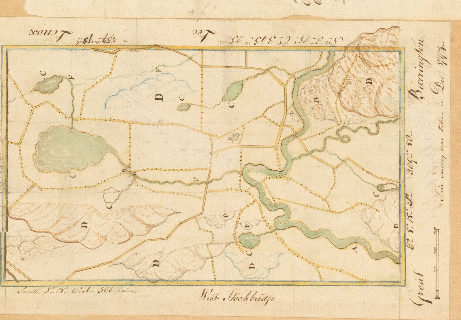
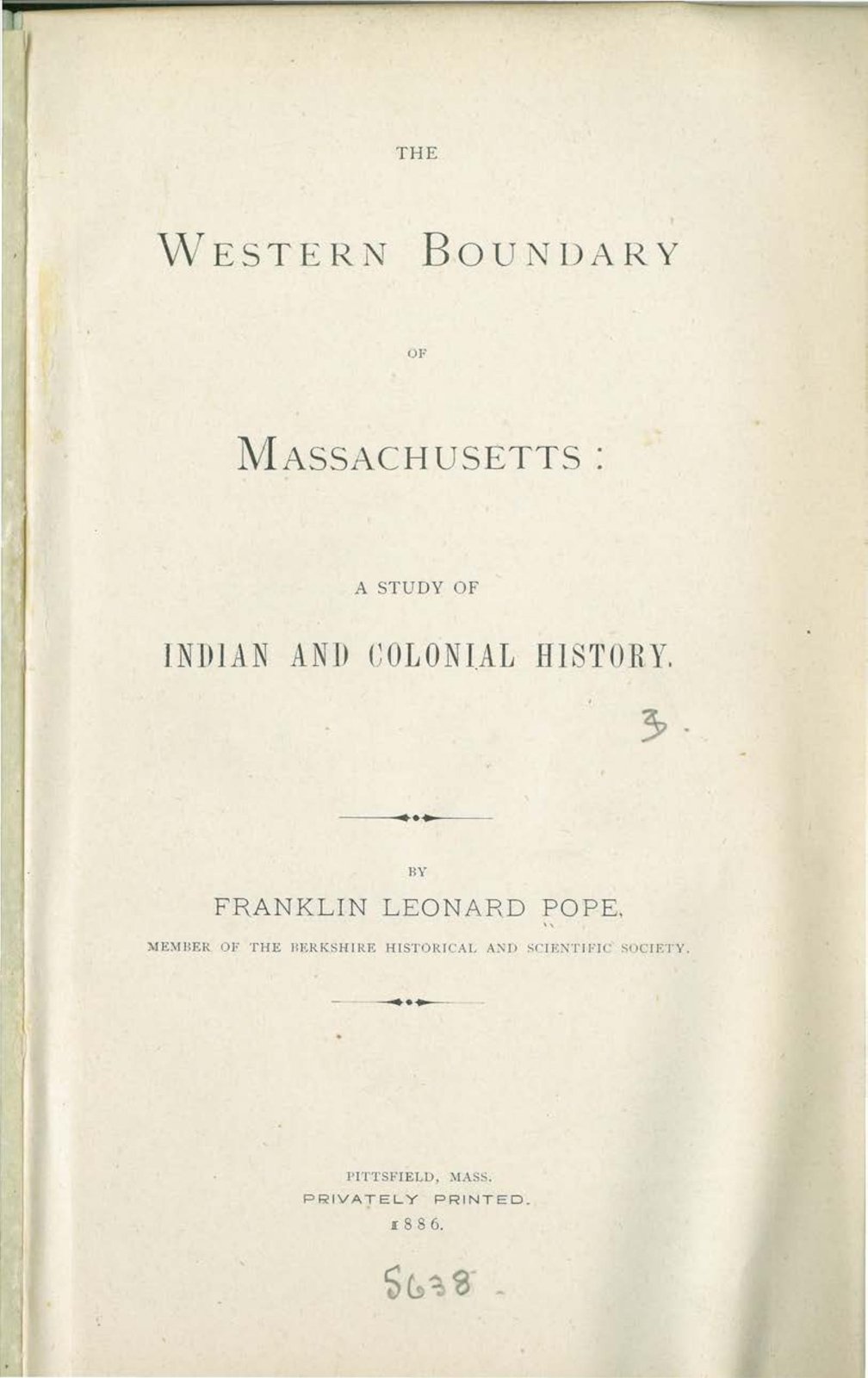
A boundary is the most boring thing a historian can study and the most revealing. To say where a line belongs you have to say who owned the ground on either side of it, and to say that you have to go back until you reach somebody who was there first. Franklin Leonard Pope went back that far, and the book he published in 1886 is filed under the state line.
I. What he set out to do
Pope read the substance of this work as a paper to the Berkshire Historical and Scientific Society at its quarterly meeting in May 1885, and printed it privately at Pittsfield the following year. The object was the line: the sequence of events, as he puts it, “which led to the final establishment of the existing boundary between the states of Massachusetts and New York.”
That line took more than a century to settle. A point was fixed twenty miles east of the Hudson and marked with a heap of stones — Connecticut old corner, still a reference in surveys long after. Connecticut ceded New York a strip along its western edge, the oblong, whose width the agreement gives as “One Mile, three-quarters of a Mile, twenty-one rod, and five links.” The thing was not finished until a federal commission — Thomas Hutchins, the Rev. Dr. John Ewing and David Rittenhouse — met at the old corner on 19 July 1787 and allowed for fourteen years and two months of change in the variation of the needle since the agreement of 1773.
That is the book's stated subject. Its preface says plainly that the subject is not the best thing in it.
II. What he says he found instead
Pope lists three “collateral results” which he thinks may be “of more interest, if not actually of greater importance, than those more immediately aimed at”:
— new light on the Indian nation originally occupying the country between the Hudson and the Connecticut;
— a connected account of the anti-rent troubles that disturbed New York for more than a century;
— and the fact, he says established for the first time, that the permanent settlement of Berkshire County began with pioneers from the Hudson valley, far earlier than had been supposed.
He worked from the unpublished manuscript archives of Massachusetts, Connecticut and New York. A man who goes into three state archives to settle a surveying question and comes out saying the Indian history is the better find is worth reading on the Indian history.
III. The capital
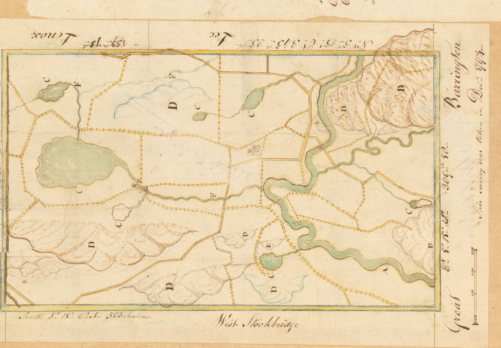
This is the sentence. Pope writes that after the last war with the Mohawks the Mahicans re-established their council-fire at Wah-nah-ti-kook, in the present town of Stockbridge, and that “this place was in fact the capital of the Mahican nation at the time of the first settlement of the English on the Housatonic.” He allows himself only the qualifier that it “would seem to admit of little doubt.”
He does not rest it on his own authority. He cites Loskiel the Moravian, writing from Gnadenhutten in 1751 of deputies sent “to the great council of the Mahican nation at Westenhuck.” He cites President Dwight, who wrote in 1793 that the Stockbridge Indians were acknowledged, by themselves and by other tribes, to be “the eldest branch of their nation” and as such had precedence in council. The earlier seat had been at Schodack, where Hudson met their chief in 1609.
And he cites a treaty. At Fort Stanwix on 30 September 1768, before Sir William Johnson, the Mohawks and the Stockbridge Indians fixed the boundary between them at the Hudson as far up as Fort Edward and thence by Wood Creek and Lake Champlain, each releasing its claims on the other's side. Pope prints the text in his appendix from the Connecticut Archives. Two nations settling a border between themselves, on paper, with marks affixed — nine years before the Revolution, and on the same principle the colonies were still arguing about.
IV. 25 April 1724
The settling committee for the two new Housatonic townships met Konkapot and nineteen other Indian owners at Westfield on 25 April 1724, with Conraet Borghardt interpreting, and took a deed. The tract ran four miles east of the river, bounded south on the colony line, north on “ye great Mountain known by ye name of Mau-skuj'ee-hunk,” and westward “on ye Patten or Colony of New York.”
Pope notices something in it that a surveyor would notice and a casual reader would not. The Indian grantors warranted the title free of all encumbrances — a provision he calls unusual in such instruments. His reading: they were saying that the earlier sales alleged to have been made to the Westenhook patentees were null and void.
V. “The possibility of fraud”
So Pope went and read the Westenhook petition. His verdict, in his own words: an examination of it “suggests, to say the least, the possibility of fraud.”
Here is what the petition itself recites. The petitioners had advanced money and goods to the Indian proprietors of lands at Westenhook. The Indians had mortgaged the premises to them. Being unable to repay, the petitioners had — the word is the petition's own — “condescended” to make further advances, and to take deeds of the lands.
Read that twice. The instrument by which the ground changed hands was not a battle and not a treaty. It was a debt that could not be paid, secured on land, and a lender obliging with more credit until the only way to clear it was to convey. That is a mortgage working exactly as a mortgage is designed to work. Pope saw it in 1886, in a petition filed to support a land patent, and wrote down that it looked like fraud.
The town's own later history, and the documents on this site, describe the same mechanism running through the eighteenth century: land held in common by a people becomes title held by persons, and title can be mortgaged, and a mortgage can be foreclosed. Title did not fail to protect the Mohicans. Title was the instrument.
VI. Why an 1886 boundary study is on this site
Everything else here is built on maps — 1795, 1830, 1858, 1876, 1904 — and every one of them is a map of who owned what. That is what a map was for. Pope's book is the record of two colonies arguing for a hundred years about where the line between them fell, across ground whose owners had a capital on it, a council-fire, a treaty with the Mohawks, and a name for the place.
The argument was settled in 1787 by three commissioners and a correction for magnetic variation. The prior question was never on the table.
VII. The whole book
Sixty-one pages, privately printed at Pittsfield in 1886 and long out of copyright. The machine-read text is searchable below; it is an 1886 scan and the reading is imperfect, so short fragments find more than long ones. The passages quoted on this page are on pages 14, 26 and 60.
Preface·The Mahican nation·The capital·The 1724 deed·Westenhook·Fort Stanwix treaty
Sixty-one pages. Use the arrows, or type a page number. Select Expand, or click the page, to read it full screen at full resolution.
Sources
Franklin Leonard Pope, The Western Boundary of Massachusetts: A Study of Indian and Colonial History, privately printed at Pittsfield in 1886, a member of the Berkshire Historical and Scientific Society, the substance read as a paper to that society at its quarterly meeting in May 1885. Every quotation above is from that volume and is given with its own spellings, including Mahican, Wah-nah-ti-kook, Westenhuck, Westenhook and Mau-skuj'ee-hunk; the text used here is a scan whose optical transcription is imperfect, and the passages quoted have been read against the page images. Pope's own citations, reproduced as he gives them, are Loskiel's History of the Moravian Missions part iii for the 1751 letter from Gnadenhutten, Dwight's Travels for the 1793 observation, Dr. Field for the River Indians, and the Connecticut Archives, Indians, Book II, for the Fort Stanwix treaty of 30 September 1768, which he prints in full in his appendix. The 1724 deed, the warranty clause, the Westenhook petition and the word condescended are Pope's account of documents he consulted in the manuscript archives of Massachusetts, Connecticut and New York; this page has not been to those archives and reproduces his reading rather than confirming it. The boundary chronology — Connecticut old corner, the oblong and its stated width, and the commission of Hutchins, Ewing and Rittenhouse meeting on 19 July 1787 — is likewise his. Pope's characterization of the Westenhook petition as suggesting “the possibility of fraud” is his judgment, published in 1886, and is quoted here as his and not adopted as a finding of this site. Map: “Plan of Stockbridge,” 25 May 1795, Massachusetts Archives, Maps and Plans. The Stockbridge-Munsee Community, the Mohican nation's continuing government, is at Bowler, Wisconsin; nothing on this page is published with its endorsement or should be read as speaking for it.